Dave Russo re-explores a Bethpage section of the Motor Parkway
Dave Russo went back to one of his favorite Motor Parkway sections in Bethpage.
Dave Russo went back to one of his favorite Motor Parkway sections in Bethpage.
The six Vanderbilt Cup Races held on Long Island from 1904 to 1910 were the greatest sporting events of their day, and the first international automobile road races held in the United States. The races had a far-reaching impact on the development of American automobiles and parkways. This site provides comprehensive information on the races, the Long Island Motor Parkway and current Long Island automotive events, car shows and news.


Comments
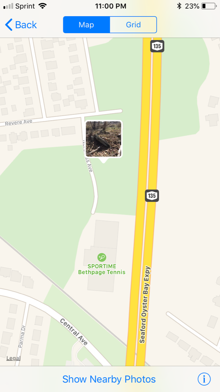
Hi Dave - I’ve wondered about this area, too. Between the Sportstime driveway and Rte 135, and to the rear of the deadend home off Revere. Overgrown most of the year, you were able to check it now. Similar to where you looked south of Westbury Ave, LIMP fragments galore.
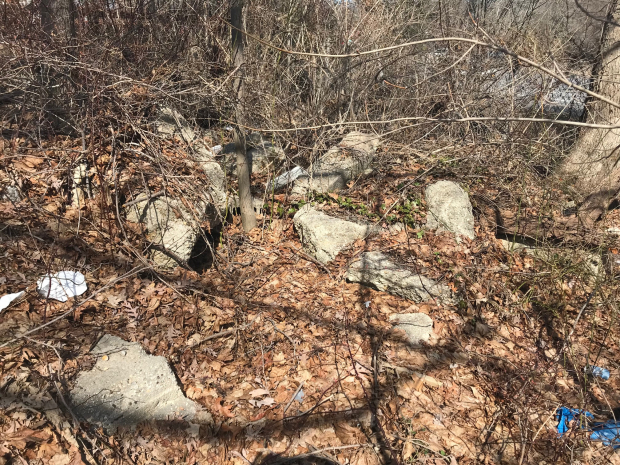
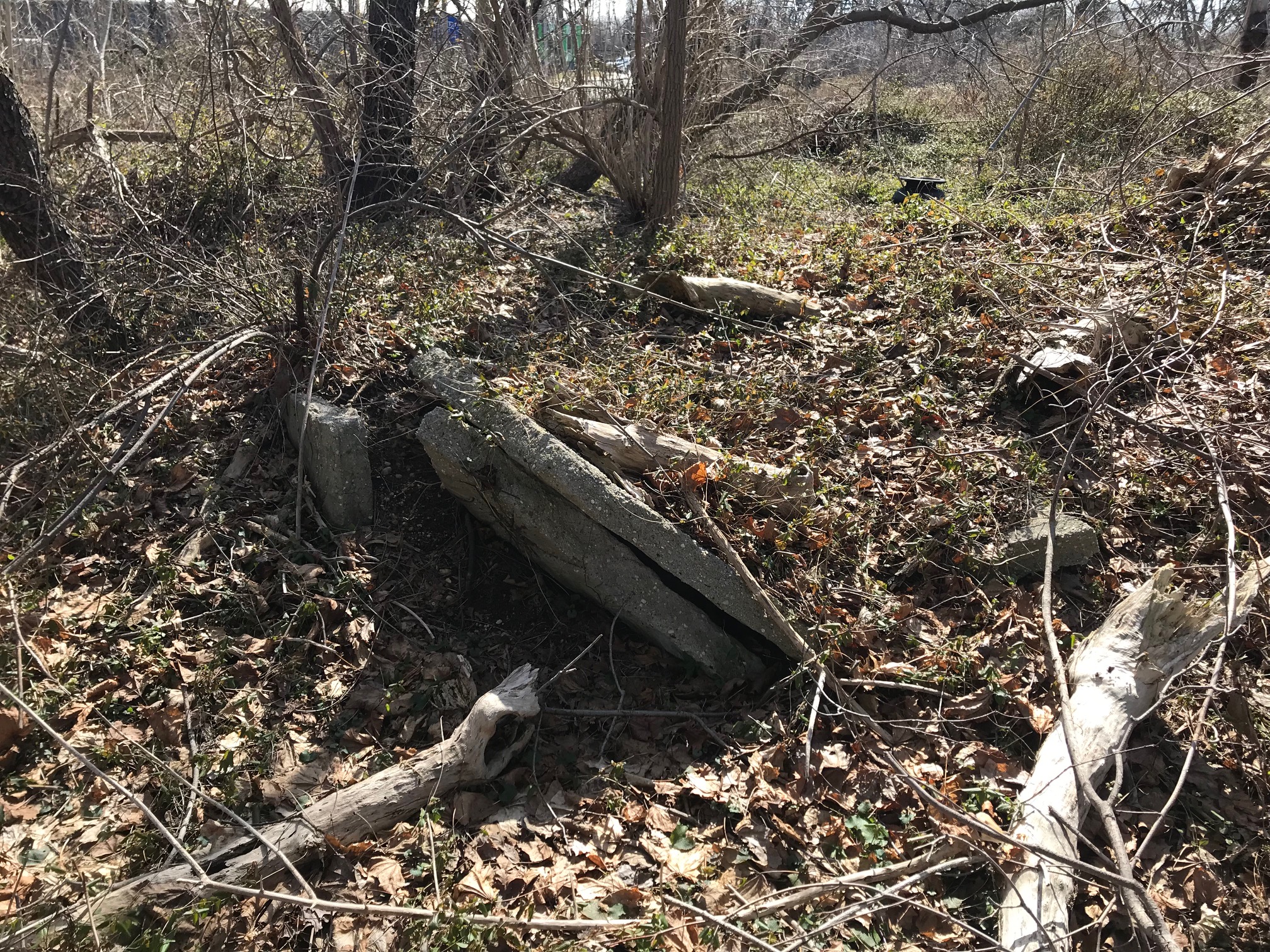
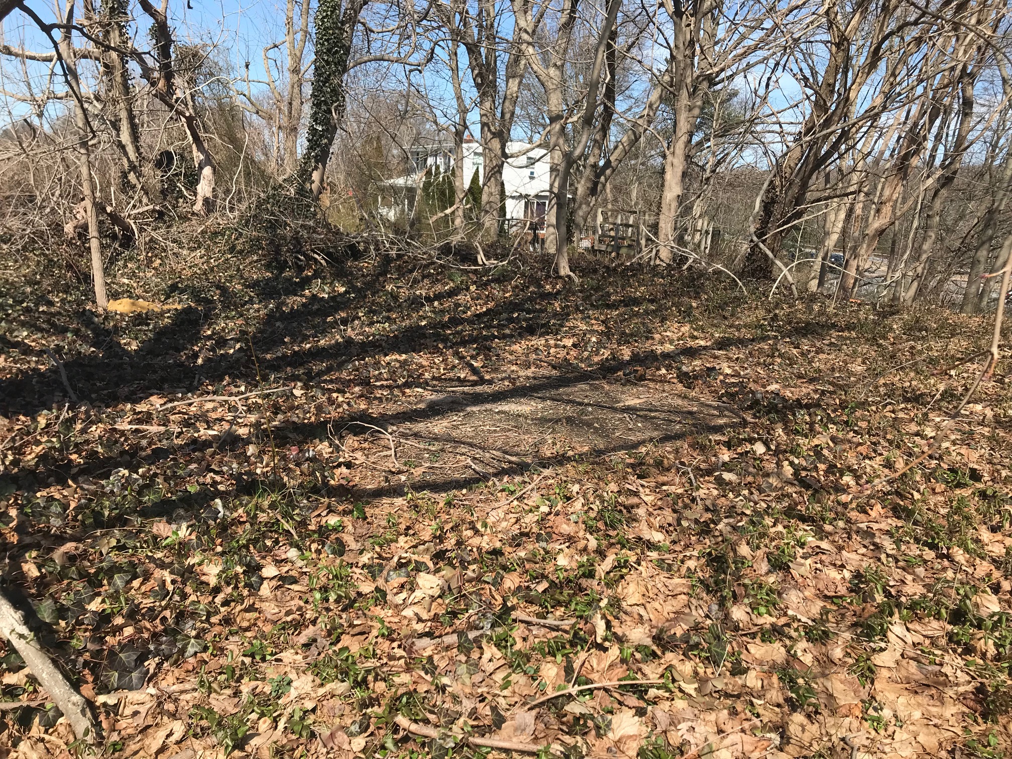
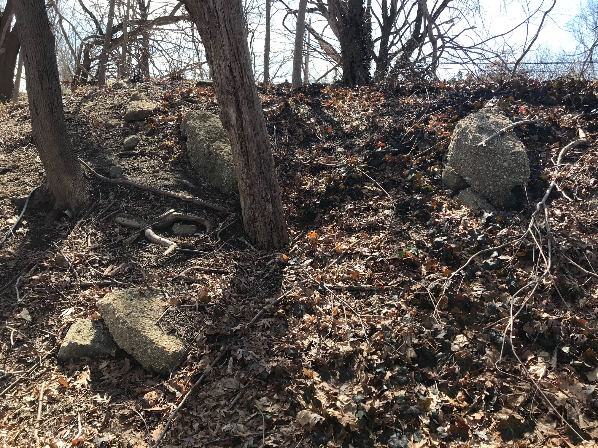
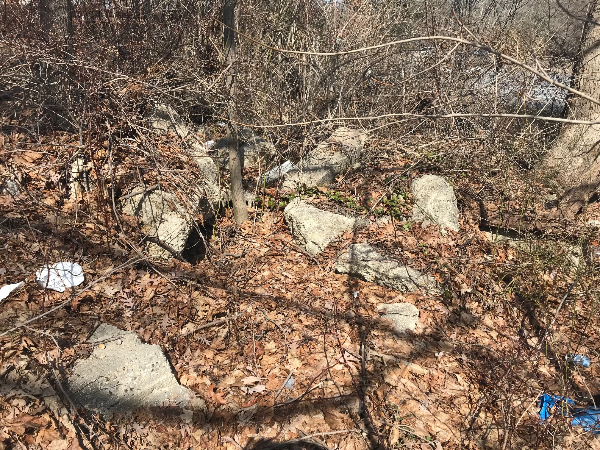
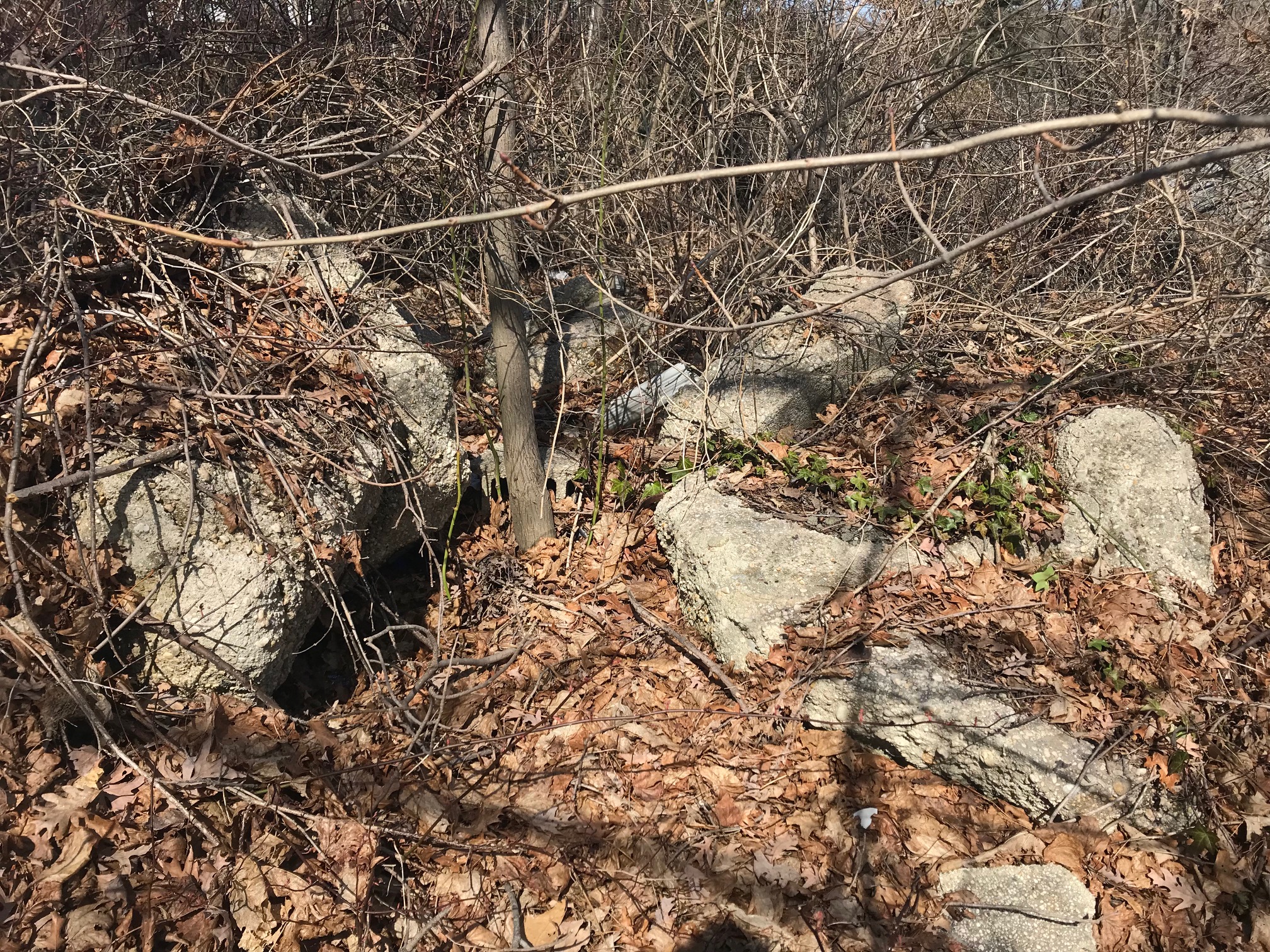
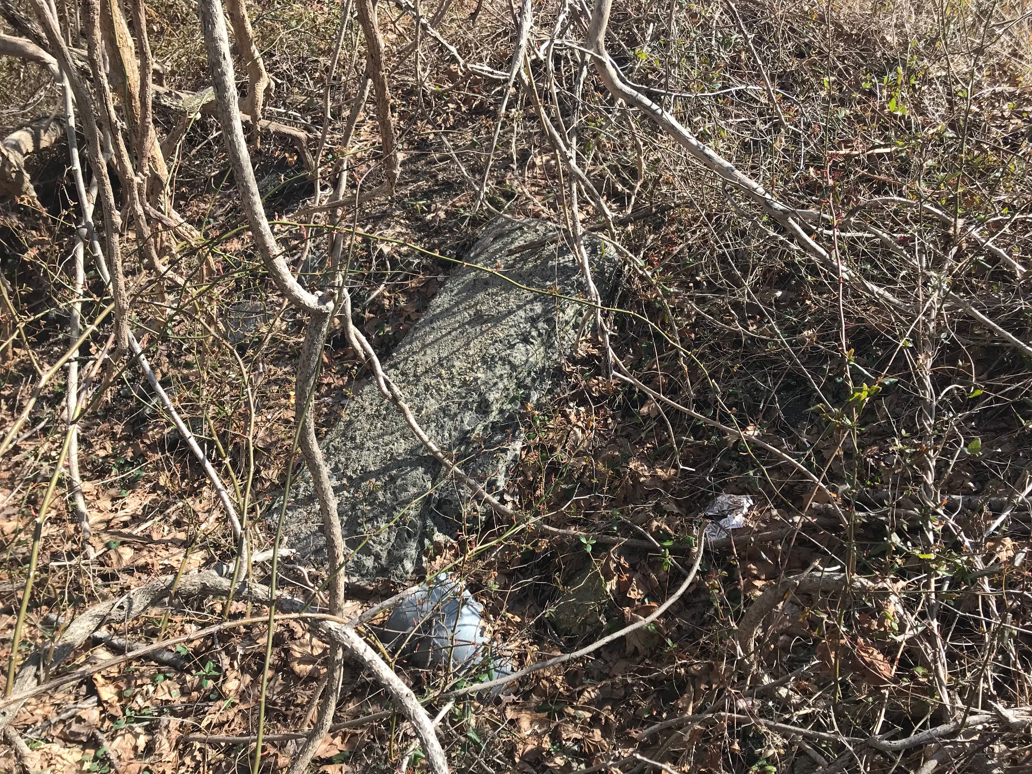
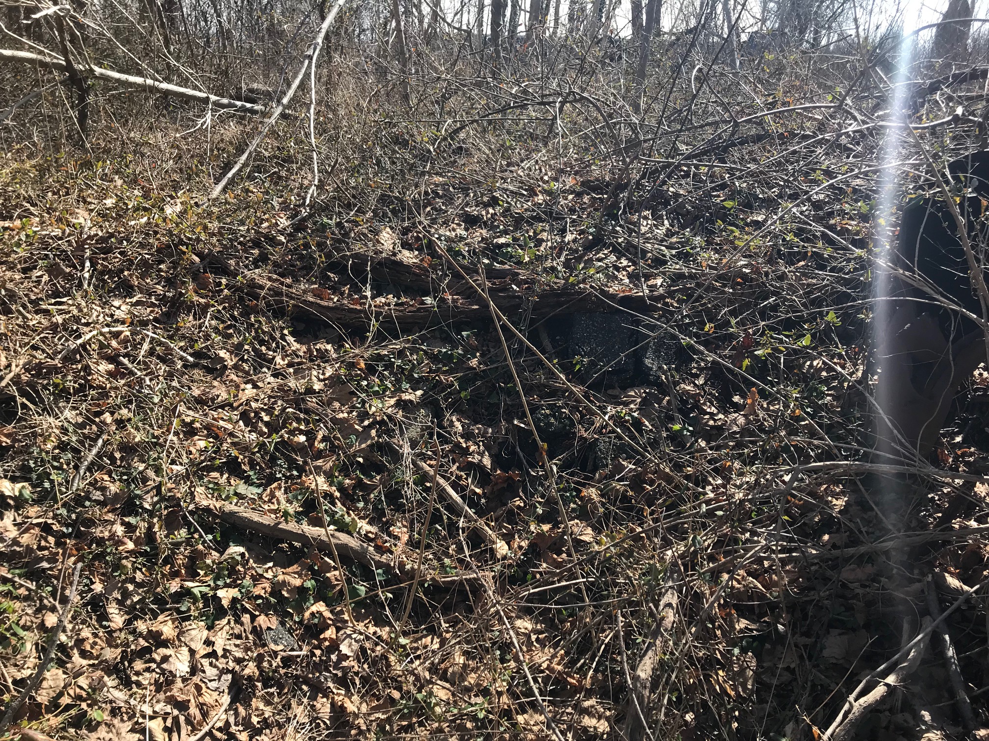
This section starts just north of Sportime, literally right after the northern parking lot ends. This is south of Revere Street and south of the location where we all met a while ago, when we tried to determine the LIMP ROW in this Bethpage zone. The maps of Wayne and Frank agree that at this exact section, the LIMP went through this spot, but they then both say from this point there is a semi-sharp eastern turn that goes just east of 135 now and then north pretty much in line with 135, and we’ll you all know I completely disagree with that.
I definitely think through all of the exploration that we’ve done and remnants found that the LIMP traversed just west of present day 135 up to the point where it crossed over at present day Bethpage Park.
We need an old Bethpage resident to come forward! Someone has to have pics of 135 construction or know for sure the LIMP location vs present day 135. One day!
Dave, Sam III’s 1950 aerial comparison in 4Aug2019, and Art’s FOIL documents.