Tag: Mitchel Field
-
Dec 18 2019
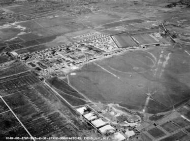
Kleiner’s Kolumn: Part I-Mapping the Motor Parkway, Mitchel Field & Mitchel Gardens
Recently received documents from the Nassau County Dept. of Public Works (NCDPW) highlight the Motor Parkway and Mitchel Field in Garden City.
-
Dec 05 2019
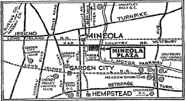
Kleiner’s Kolumn: The Long Island Motor Parkway in Maps (Part II)
Part II of my map series displays maps that were used for what I call specific purposes and generally not for touring.
-
Dec 21 2018
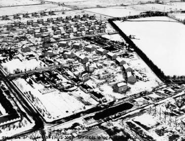
Update #2: In Search of the Mystery Camp Mills “New York” Road
Lee Chambers, who grew up in Mitchel Field, has been determined to document a mysterious Camp Mills road that ran east to west and disappeared when Mitchel Field was reconfigured in 1927 to 1932. Bill Bellmer's recent aerials and documents have help Lee solve the mystery.
-
Oct 20 2018
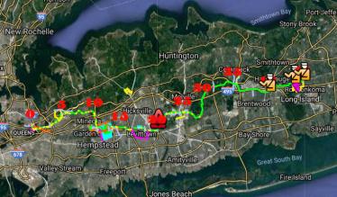
Femenias Findings: A New Interactive Online Map of the Long Island Motor Parkway
Inspired by Wayne Consolla's online Motor Parkway map, our master mapper Frank Femenias has created a new interactive online map of the Long Island Motor Parkway.
-
Sep 05 2018
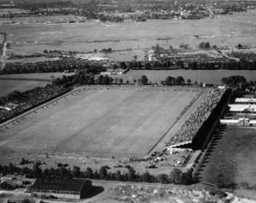
A Chambers Profile: The Meadow Brook Polo Fields
As a follow-up to Mystery Foto #33, Lee Chambers has provided images and observations concerning the polo fields of the Meadow Brook Hunt and Polo Club. Lee grew up in Mitchel Field adjacent to the polo fields.
-
Jul 23 2018
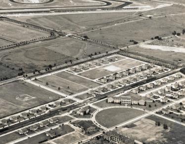
Update2:Mystery Foto #29 Solved:A 1936 Aerial of Mitchel Field,Roosevelt Raceway & the Motor Parkway
Author Richard Panchyk set a VanderbiltCupRaces.com record with back-to-back Mystery Foto challenges.
-
Jan 24 2018
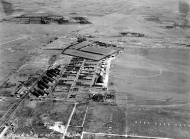
Mitchel Field Aerials Part I: 1923-1928
Hoping to find new views of the Motor Parkway, in 2003 I began collecting military aerials of Mitchel Field and Roosevelt Field. In the first of a new series, below are the best aerials of Mitchel Field from 1923 to 1928.
-
Jan 08 2018
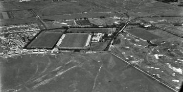
Mystery Foto #1 Solved: 1932 Aerial of the Meadow Brook Hunt Club from the SMU Ritchie Collection
The first Mystery Foto of 2018 was an aerial from an online university digital collection that I discovered today. It is one of 83 images of Long Island including over 35 aerials of estates.
-
Aug 21 2017

Mystery Foto #33 Solved: The World’s Largest Map of Long Island Located at Mepham High School
Last weekend's Mystery Foto was one of my all-time favorites- an 16-foot x 80-foot 1937 map.
-
Aug 14 2017
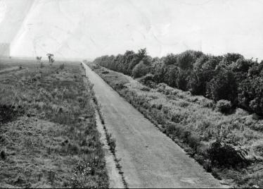
Mystery Foto #32 Solved: A 1950 Image of the Motor Parkway Looking West to the LILCO Gas Tank
Art Kleiner, Paula S. and her son Jeff challenged you again to identify this 1950 image of our favorite parkway.

