Friday Mystery Foto #40 Solved: The Carman Ave Bridge on the Plains
Al Velocci challenged you to identify the Carman Ave. Motor Parkway bridge. Included are other views of the bridge in other years.
Identify;
- The Motor Parkway Bridge
The Carman Ave. highway bridge.
- Orientation of the photographer
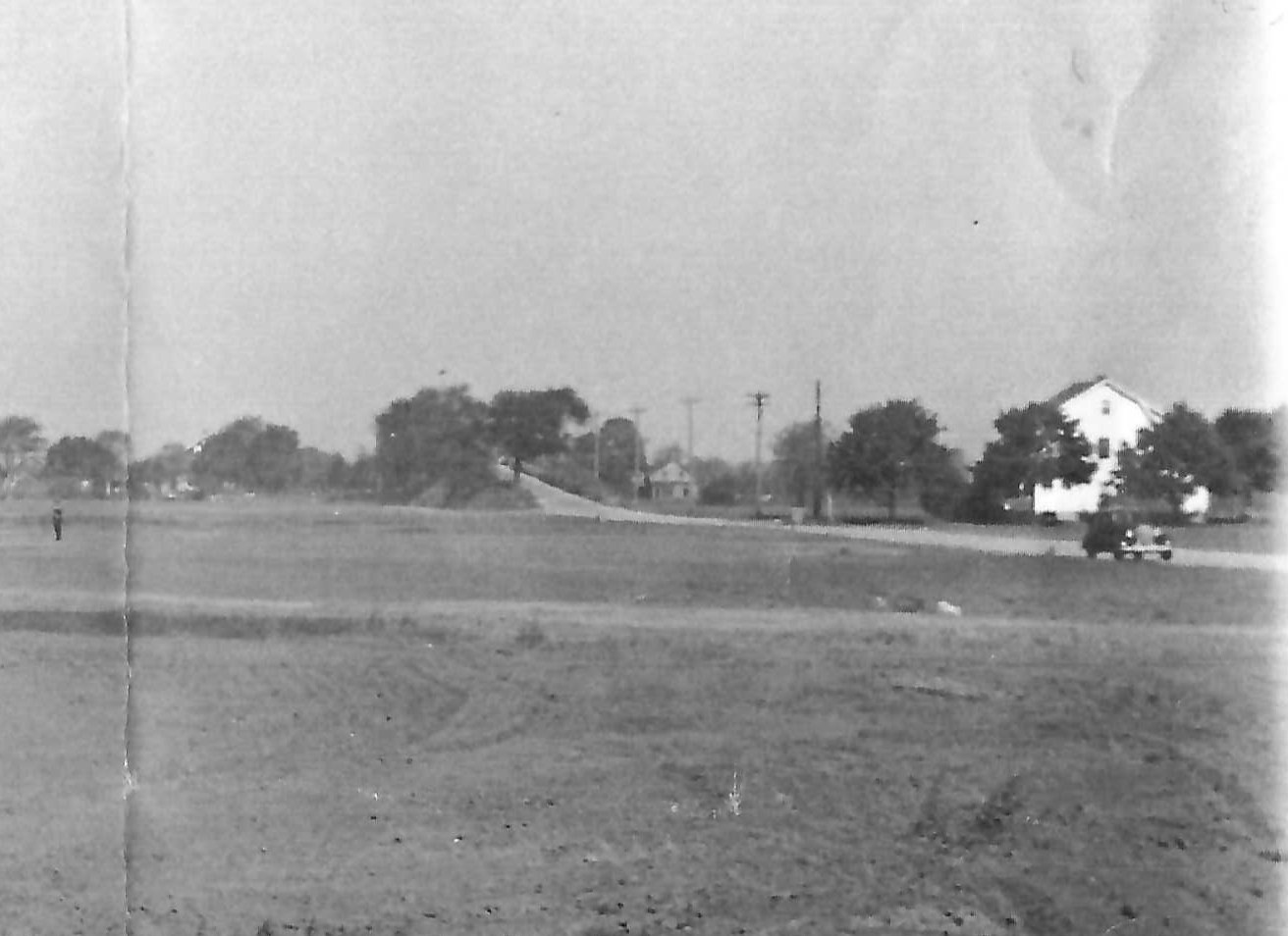
The road to the right is Carman Avenue looking North. The Motor Parkway is hidden horizontally on the horizon.
- The golf course
The White Course in the Northeast corner of Eisenhower Park.
- Approximate year the bridge was taken down
1952/1953
Kleiner’s Kolumn: The Carman Avenue Motor Parkway Bridge Removal
Congrats to Frank Femenias and Joseph Oesterle for identifying the Carman Ave. bridge and Eisenhower White Course.
Greg O.
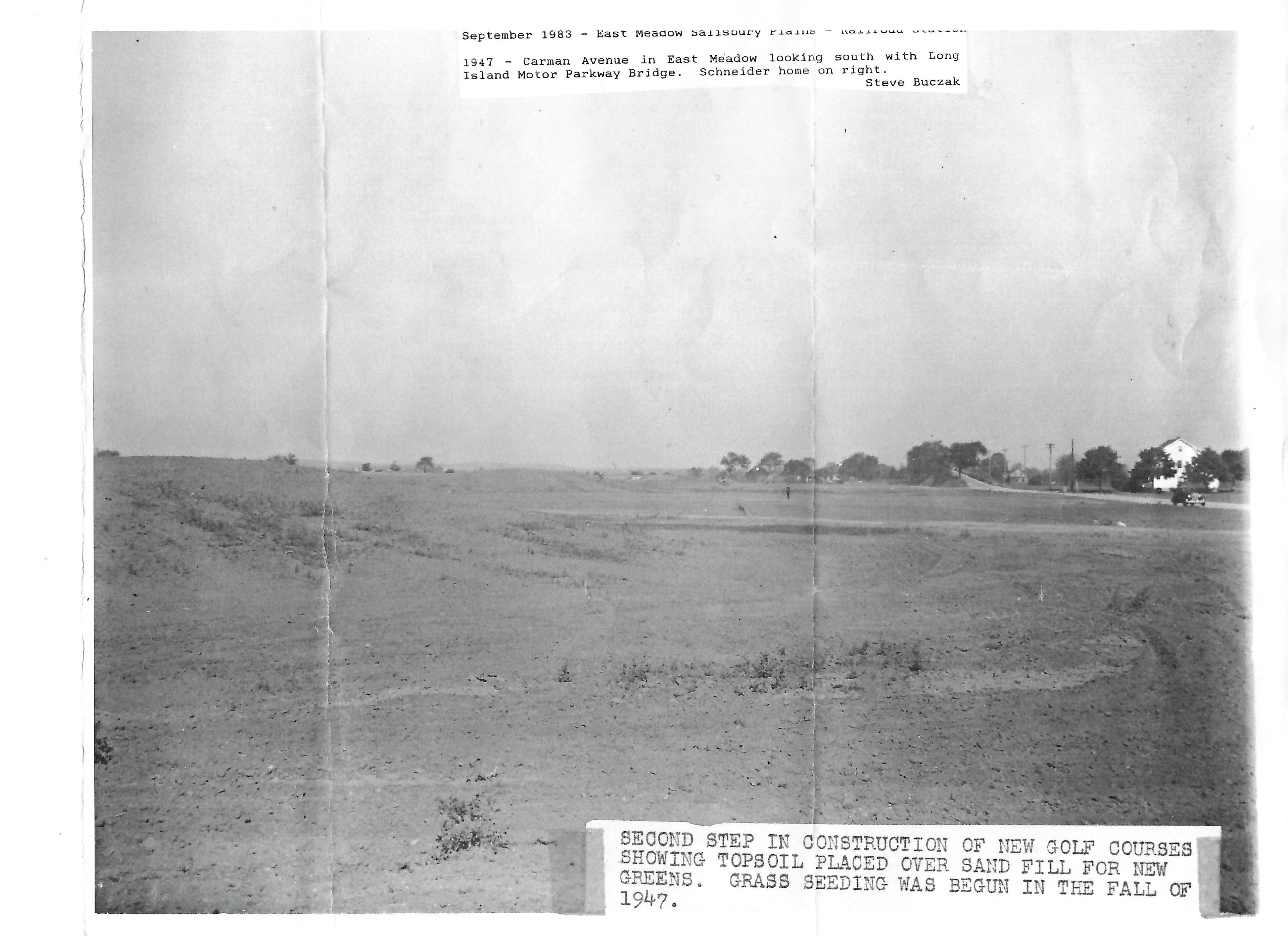
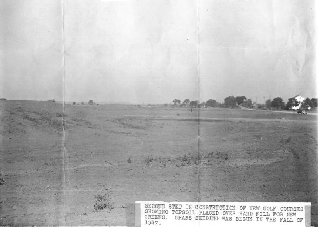
The photo is from 1947, (according to the caption) but incorrectly labels the direction south.
Of note is the Louis Schneider residence to the right.
Close up
Other views of the same bridge (different years)

Looking south down Carman Avenue.
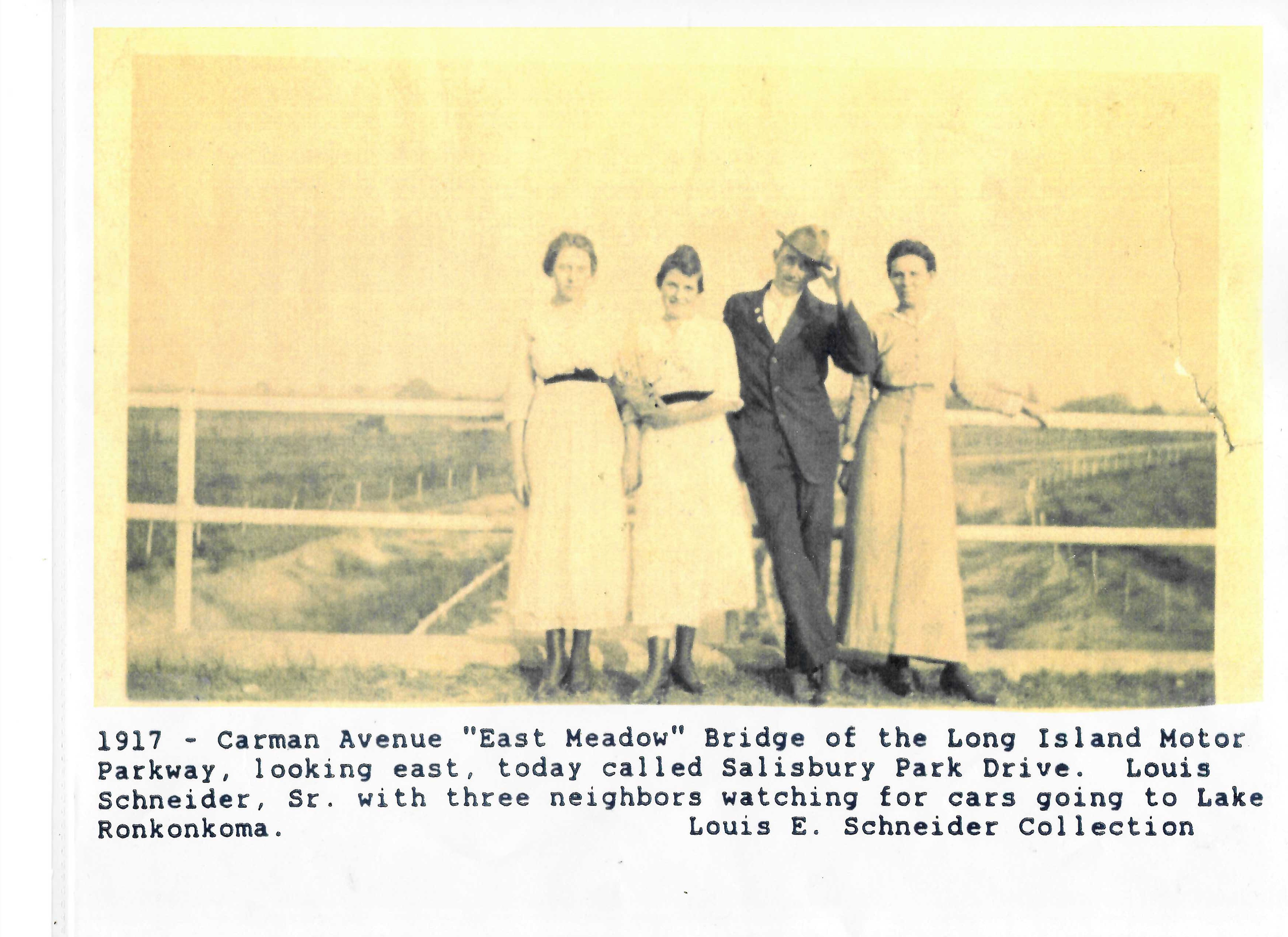
This photo shows Louis Schneider and neighbors in 1917 with the view east in the background.


Comments
After somewhat a process of elimination I am ready to submit an answer. We are looking at the Eisenhower Park White Golf Course. To the right of the photo, we see Carmen Avenue heading north. It will go up and over the LIMP. The last photo of the people on top of the bridge, the photo is looking east. As the LIMP turns to the southeast. According to the internet, the White Course opened 1950.
I am only aware of one golf course bisected by the LIMP so my answers based on that.
The Motor Parkway Bridge:
Farmway bridge to connect the William Titus farm
in East Williston, which the parkway cut in half.
Orientation of the photographer:
Based on the farmhouse, looking generally south west.
The golf course:
This is the Wheatley Hills Golf Club, as established in 1913.
Approximate year the bridge was taken down:
Bridge still appears in 1930’s aerials. I would guess
early 40’s after the parkway was closed.
Not overly confident but here’s my guess: looking east at the Bellmore Road / Newbridge Avenue bridge. The golf course was part of the former Salisbury Links but was being redesigned into today’s Eisenhower Red course. I think the bridge came down in the late 1940’s during construction of Salisbury Park Drive.
These amazing photos appear as the Carman Ave highway bridge in Salisbury (Island Trees). Top photo is looking N towards the bridge along Carman Ave, Motor Pkwy is hidden along the horizon. The foreground will become today’s White golf course at Eisenhower Park. The image with four Motor Pkwy fans atop the bridge is an E view revealing the parkway’s SE curve towards the Westbury Rd bridge. Thanks for sharing these wonderful photos
Bottom photos show east and west views from the bridge
Thank you Howard and Greg for dating the photo of Louis Schneider and neighbors to 1917. I was about to embark an impossible task for the date