Status Report: The Ezekiel Smith Farmway Bridge on Maxess Road in Melville Updated: 10/16/2016
John Mingst, Joe Edie and Bill Barto have reported construction activity near the embankments of the farmway bridge off Maxess Road in Melville and voiced concern about the bridges's future. Investigative reporter Al Velocci and photographer Howard Kroplick file this report.
Update 9/23/2016: Check out Al's good news update below.
Update: 10/15/2016: Art Kleiner documents the rebuilding of the north ramp.
Enjoy,
Howard Kroplick
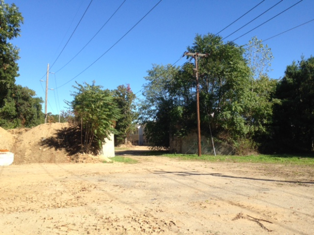
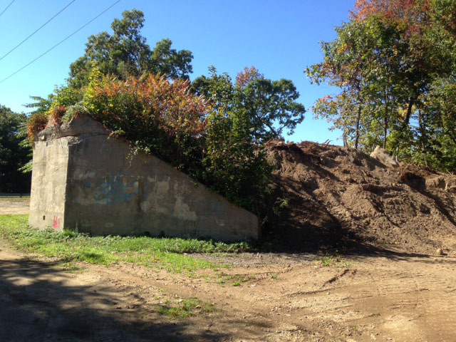
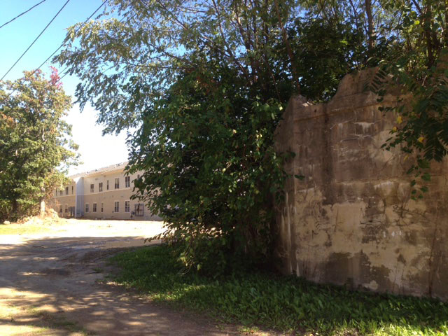
The good news is that both concrete embankments of the bridge are intact.
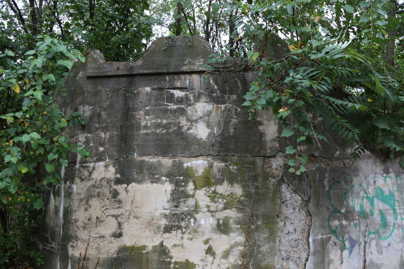
Al Velocci spoke to construction workers on the site and it is currently planned that the embankments will remain untouched.
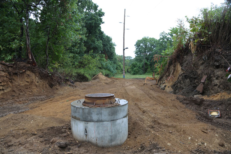
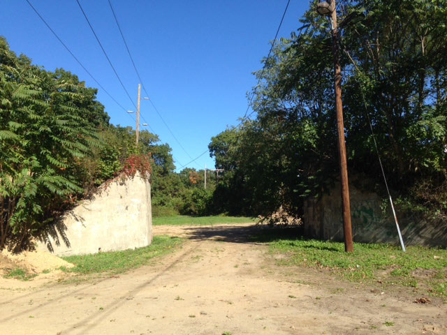
However, the northern ramp of the bridge was taken down for the construction of pipelines connecting to an area east of Maxess Road.
Update 9/23/2016: Al Velocci returned to the site yesterday and spoke to a supervisor. The workers know about the significance of this bridge and the Motor Parkway. They will not be taking down the embankments. Moreover, they will be restoring the north ramp including appropriate plantings.
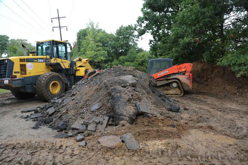
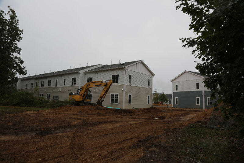
The pipeline is for this new housing complex which is located just west of the bridge. The complex's entrance is on nearby Ruland Road.
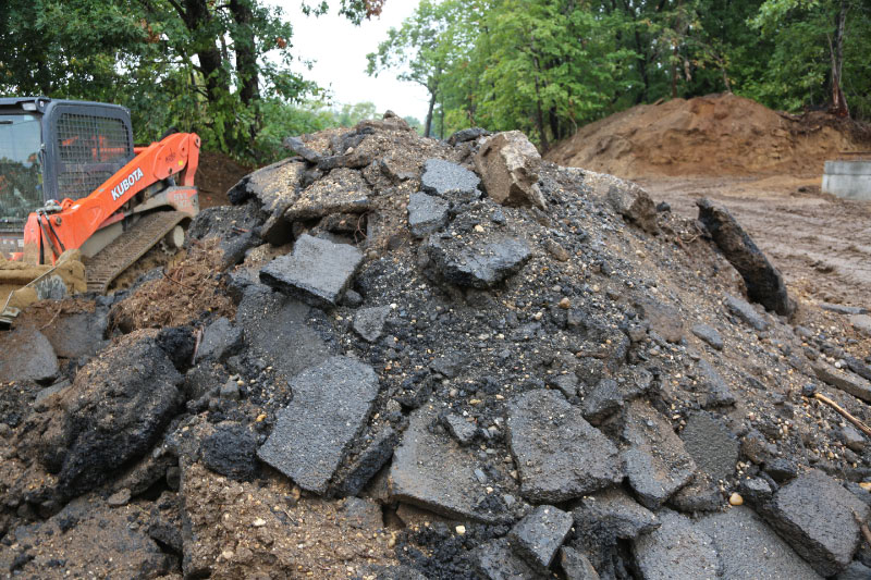
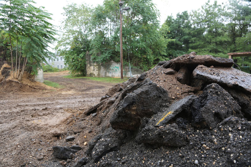
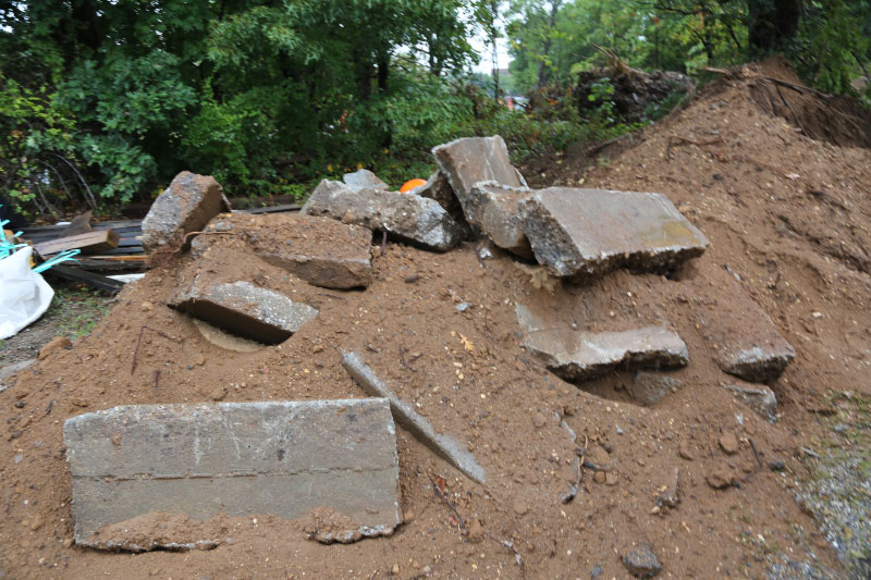
Remnants of the road over the Motor Parkway Bridge and pavement from the Motor Parkway have been piled by the construction crew.
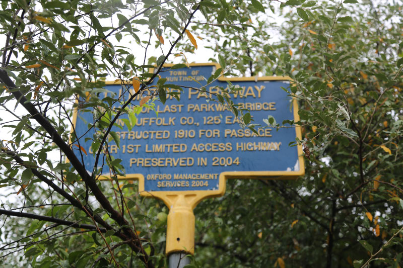
The historical marker at the site is still standing.
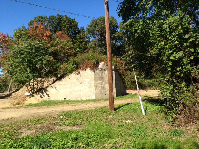
Kleiner's Korner (Submitted by Art Kleiner-October 16, 2016)
Art Kleiner: "Took some pics yesterday of the Ezekiel bridge site. All looks in order once again."


Comments
Can someone please explain to me:
When a site is designated with a historical marker, is the town/county/state/anyone obligated to maintain/preserve it?
Good to know that it’s “currently” not planned to remove the bridge, but that wasn’t the most convincing answer. I’m scared we could go there next month and it could be one. Are they permitted to remove it? Is it protected in any way?
I’m sure these pipes could have been run in a different direction.
_____________________________________________________________
From Howard Kroplick
Dave, the historic marker was placed by the former owner of the nearby office building and did not indicate any landmark status by a municipality.
Thank you Howard.
So nobody is responsible for protecting this historic site?
So anyone is permitted to purchase a historical sign and put it up? The sign says town of Huntington on the top. I figured when a spot is designated as historical by a town there is some element of obligation to protect it.
Similar question with the Old Courthouse Road bridge. Is anyone responsible for protecting/maintaining this location?
There’s only a few of these remaining bridge locations. I want these amazing historical motor parkway remnants to be preserved.
__________________________________________________________
From Howard Kroplick:
The Old Courthouse Road Bridge was designated a Town of North Hempstead landmark in 2015. It can not be taken down without the approval of the Historic Landmarks Preservation Commission of North Hempstead. I am a permanent member of this commission as the town historian.
http://www.vanderbiltcupraces.com/blog/article/town_of_north_hempstead_designates_the_old_courthouse_road_motor_parkway_br
I use to work right around that area at the USPS,off of 110,passed it every day,if only I would have known then what I know now,I could have researched it little more and maybe have gotten some remnants,without getting caught doing it,that’s if I could get to it
I want it to stay up too. The last thing we need is to have more of our sacred stuff destroyed
I havn’t been in this area for several years, now. It looks like the housing complex is basically at the N/W corner of Ruland/Maxess Rd? I remember a bit of farmland at this locale ( And ocassionally meeting up with a old timer/tractor tilling the soil ) It’s good that the workers filled up behind the north embankment. The dirt will harden over time, and provide stability. Good job with the updated photos , Art.
I was driving through the area on April 10, 2019, and I saw the historic marker sign, so I pulled over to see what it was for. Once I saw the embankment, I knew it was the LIMP. I took a few pictures.