Updated: Sam & Dave’s “Excellent Motor Parkway Hike” VII: Ruland Rd & Colonial Springs Rd

In the seventh post of the "Excellent Motor Parkway Hike" series, Dave Russo and his 11-year old son Sammy explored the Motor Parkway around the location of the Ruland Road (Melville) and Colonial Springs Road (Wheatley Heights).
Sam and Dave's photos are supplemented by aerials and Femenias' Findings submitted by Frank Femenias.
On Sunday, April 2, 2017, Dave Russo and his 12-year old son Sammy embarked on their third annual "Vanderbilt Day". Instead of duplicating the Queens to Melville route, they decided to hike the "unknown" sections of the Motor Parkway from Bethpage to Dix Hills.
Dave Russo April 2, 2017: "The original plan was to start at the Maxess Road Bridge and work our way east but we feared that would not be long enough so we decided on a new starting point.....The starting point was Stewart Avenue in Bethpage and we made our way to Dix Hills. This time we left the bikes at home and walked 13 miles. And not a normal 13 miles, there were large portions of the exploration through woods, thorns and thickets. We both came out with many scratches and bites, but at the end of the day we completed our mission and can add another chapter to the memory book!"
Enjoy,
Howard Kroplick
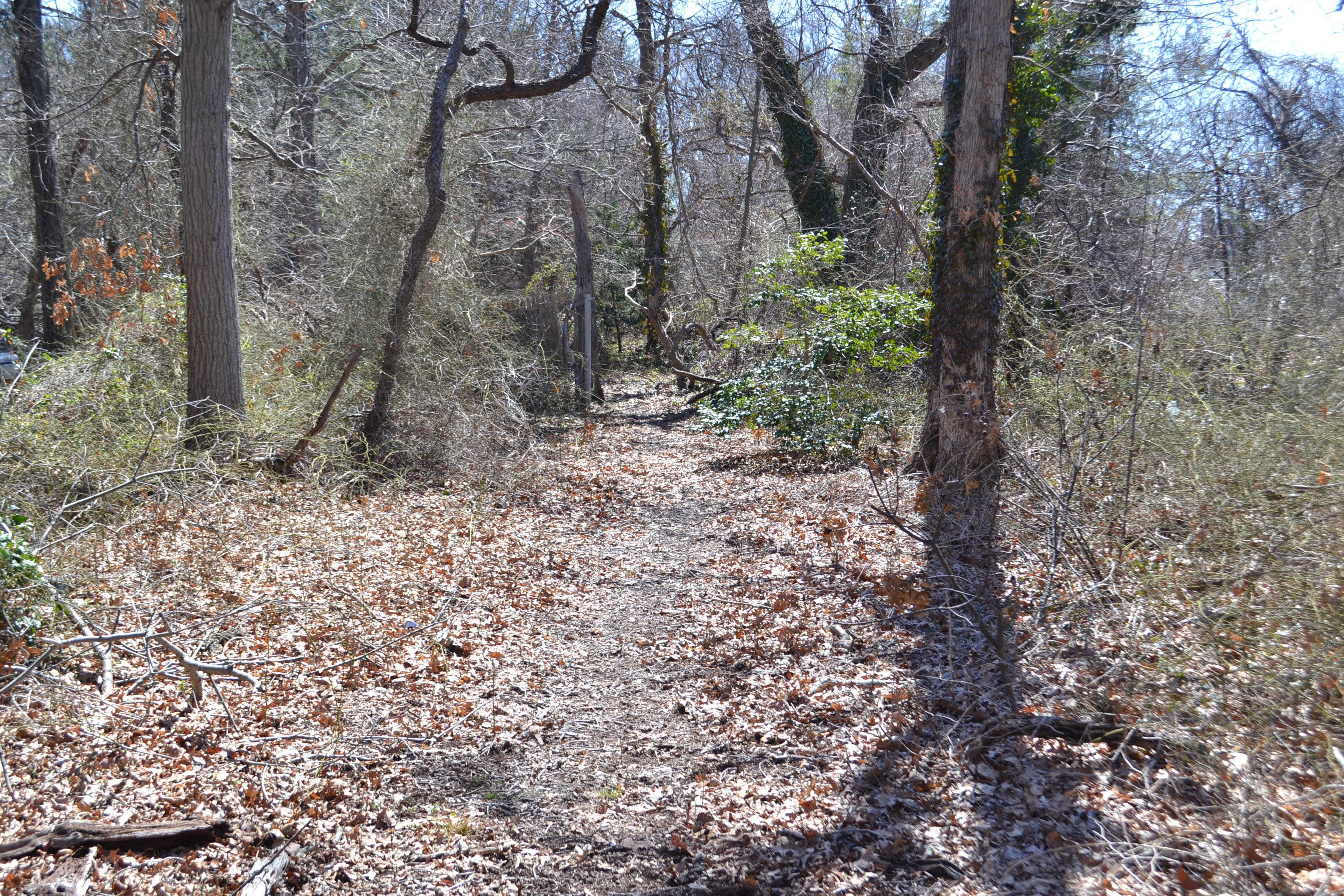
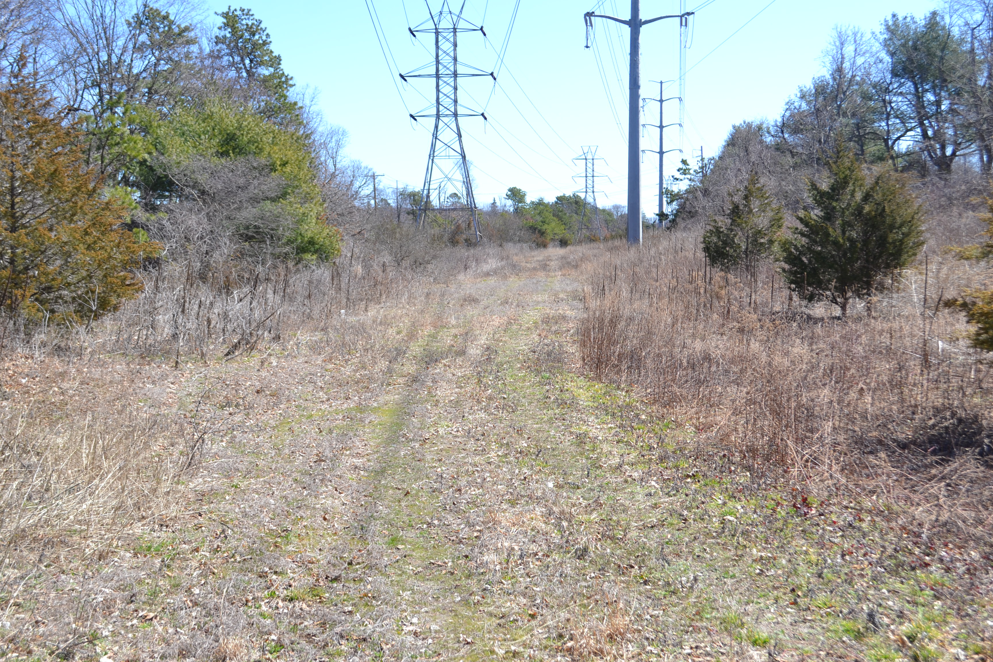
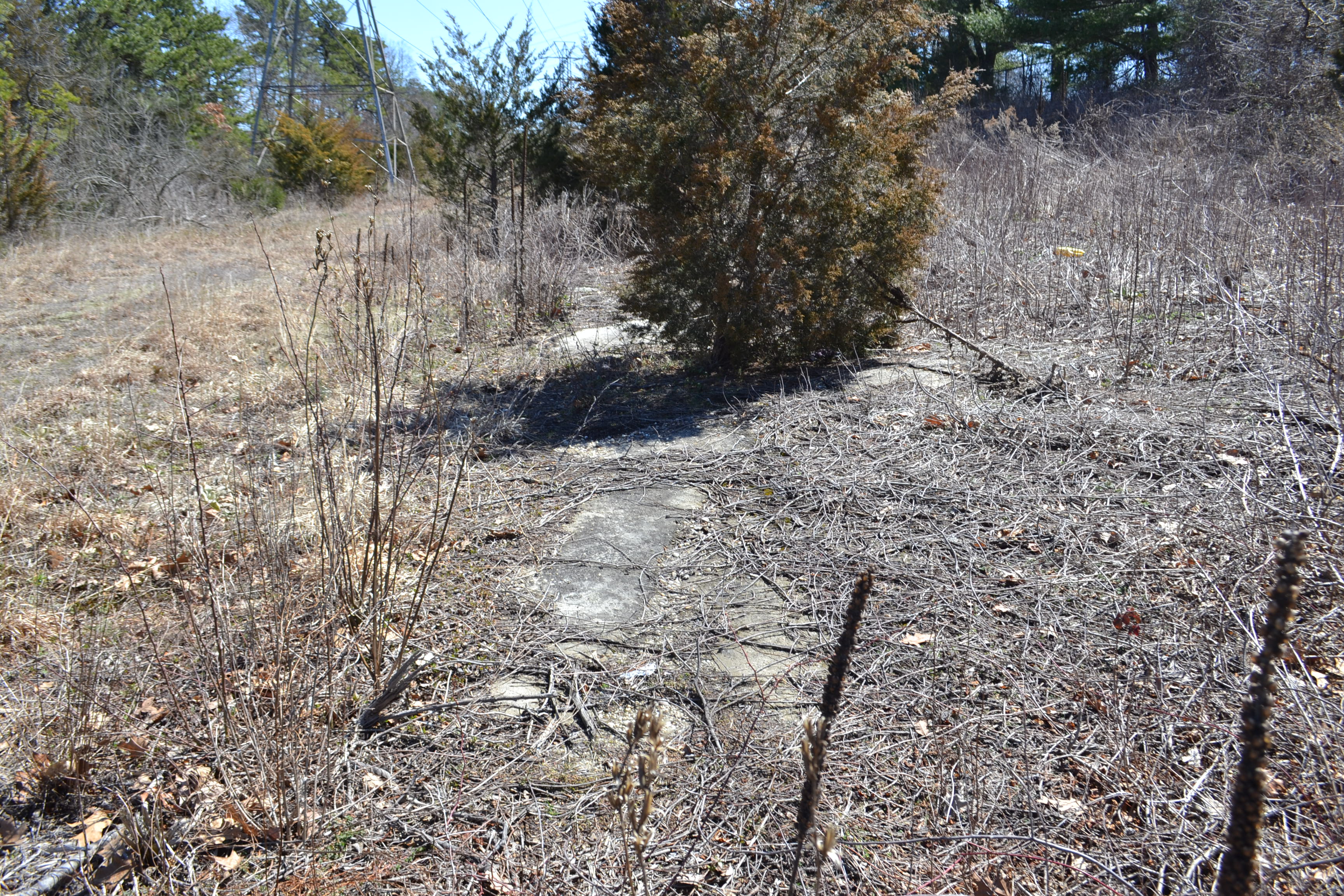
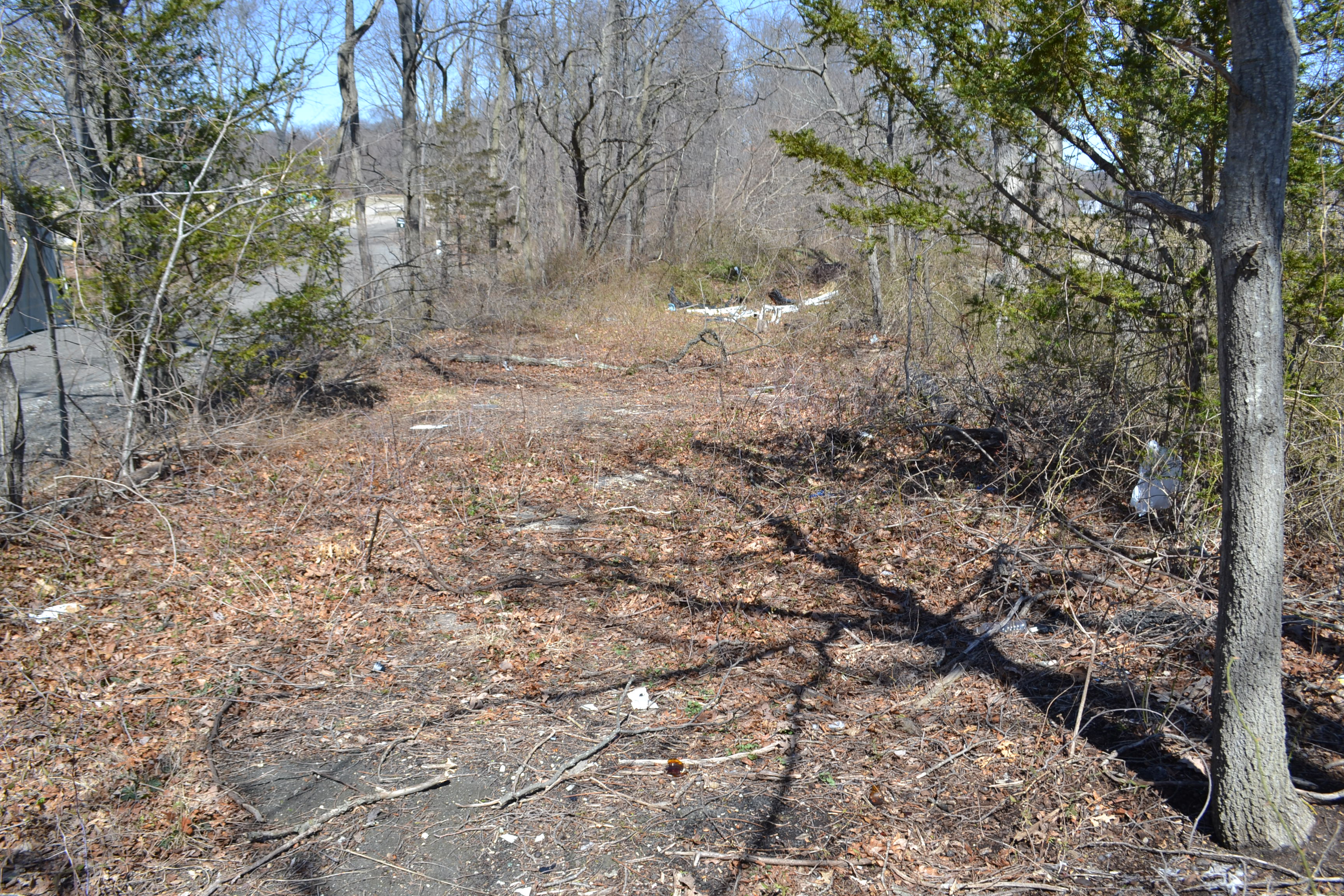
Path between Maxess Road and Ruland Road
Looking out towards Ruland Road
On the other side of Ruland Road looking back in...former bridge location here.
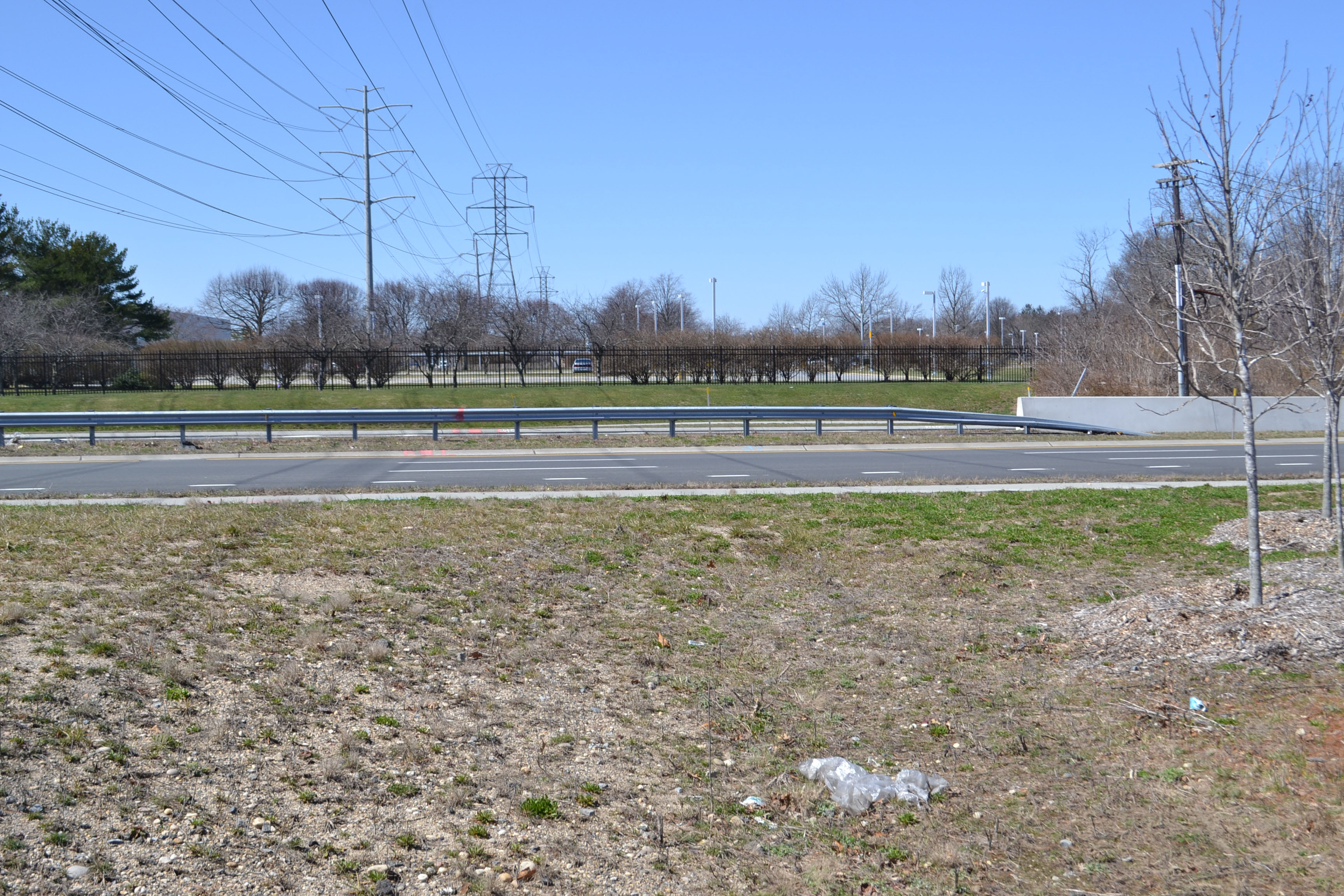
Looking over Pinelawn Road
And we've now crossed over Pinelawn Road heading east.
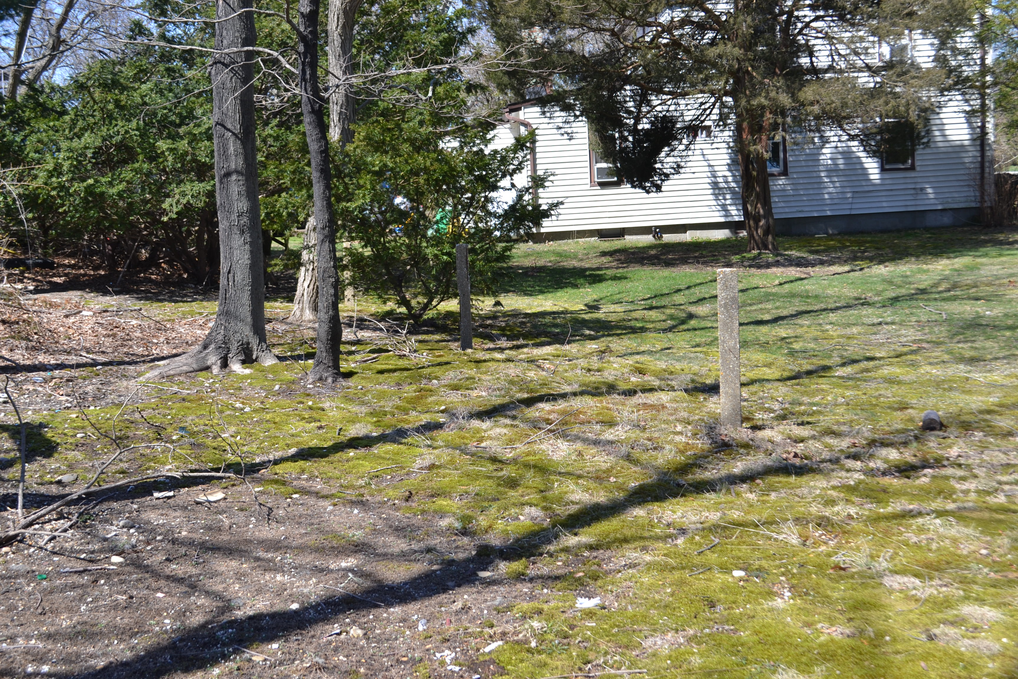
The well documented posts at Miguel's house.
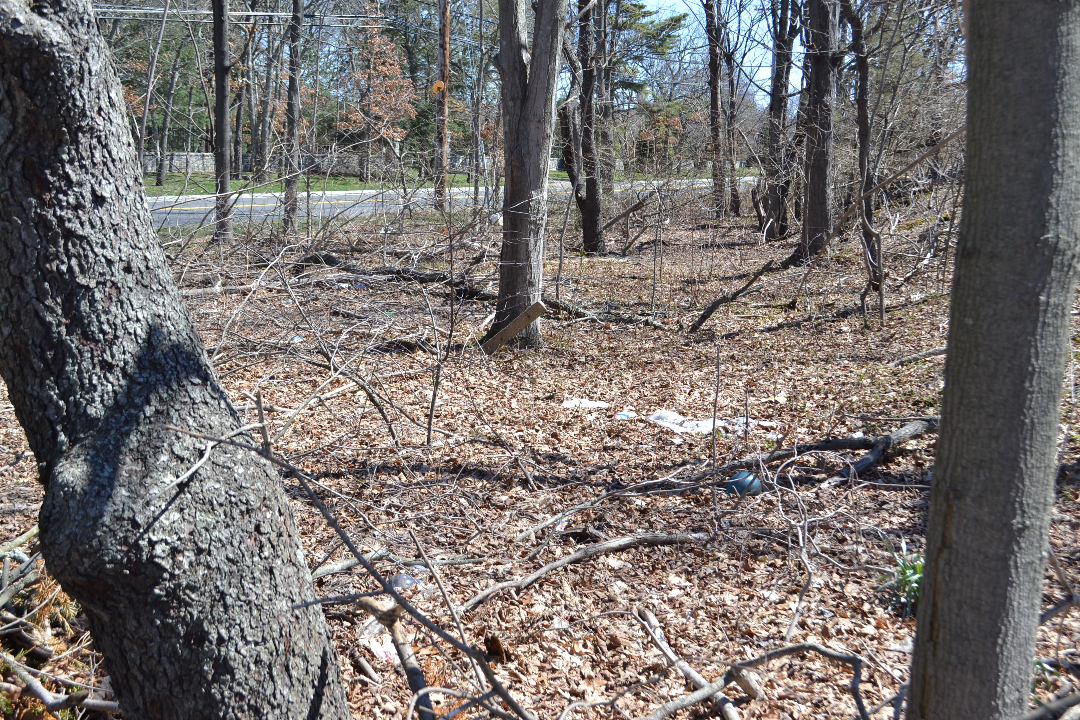
Further east from Miguel's home, another lonely post in the woods. Colonial Springs Rd to the north.
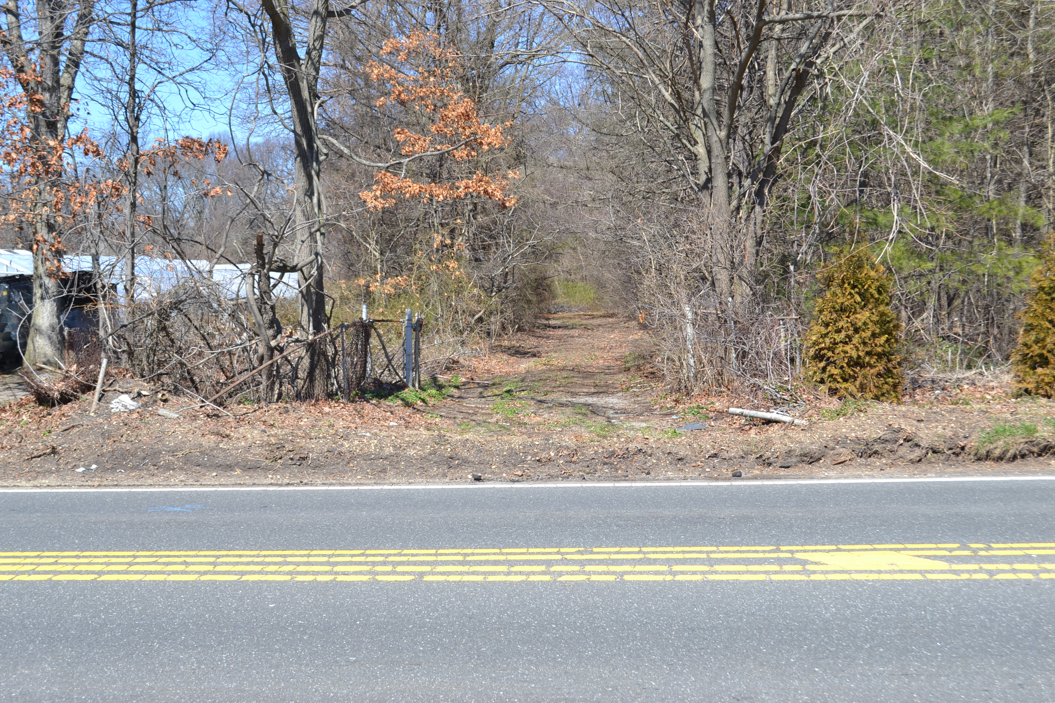
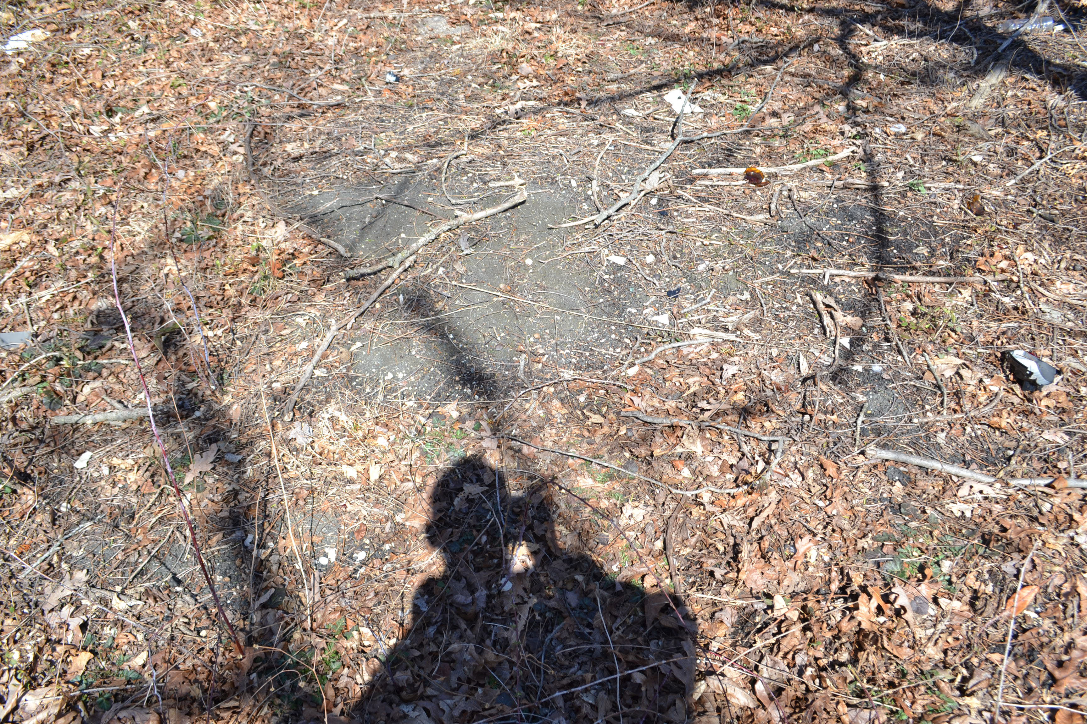
Proceeding east, there are several visible pavement locations along Colonial Springs Road, heading towards Little East Neck Road but then from this point heading south towards Colonial Springs Park, and then making an easterly turn towards Colonial Springs Road again there is nothing to see.
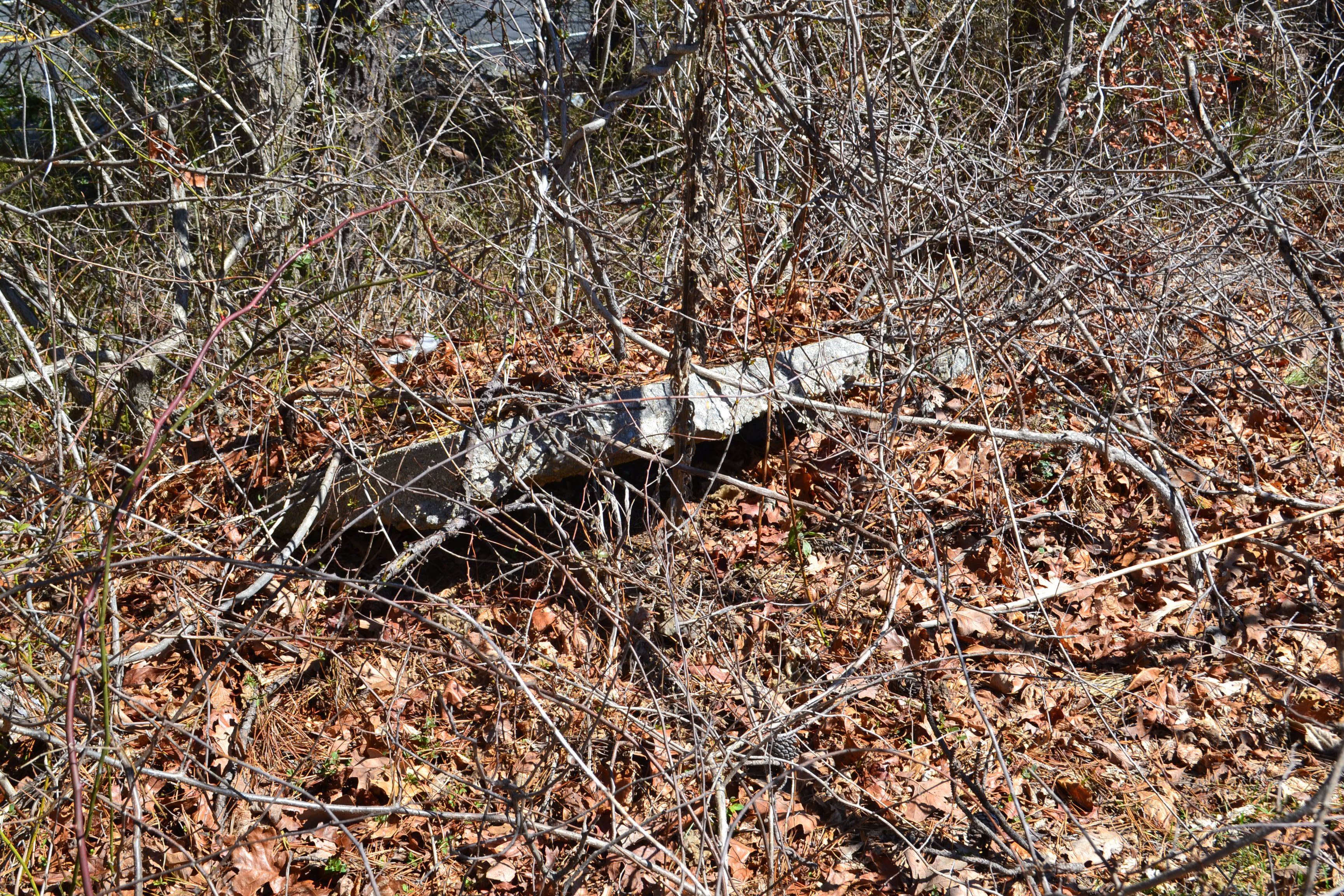
Road fragment.

So we stopped for some very well deserved lunch at Little Joe's Pizza -- right across the street from our next location which is.....
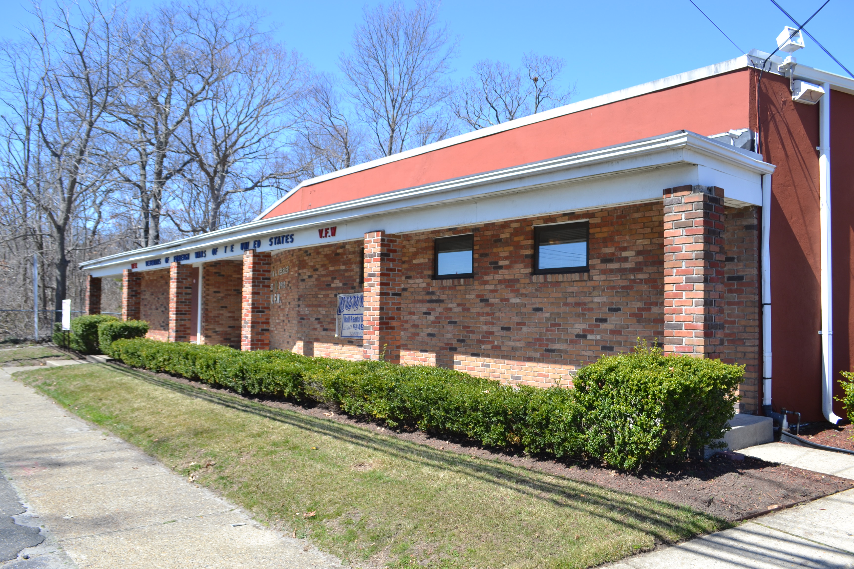
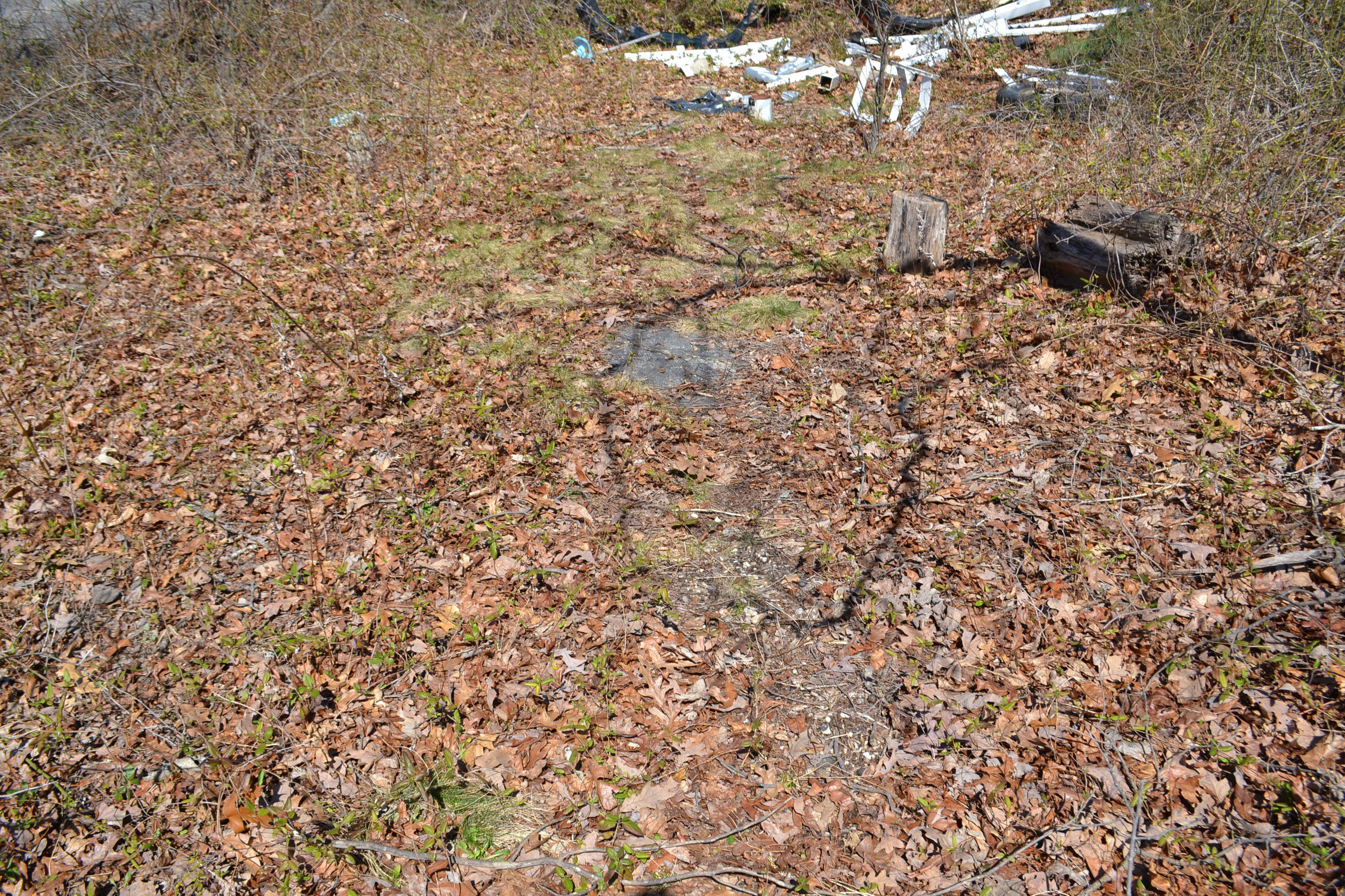
The VFW Hall on Colonial Springs Road. Behind the hall we find more road fragments.
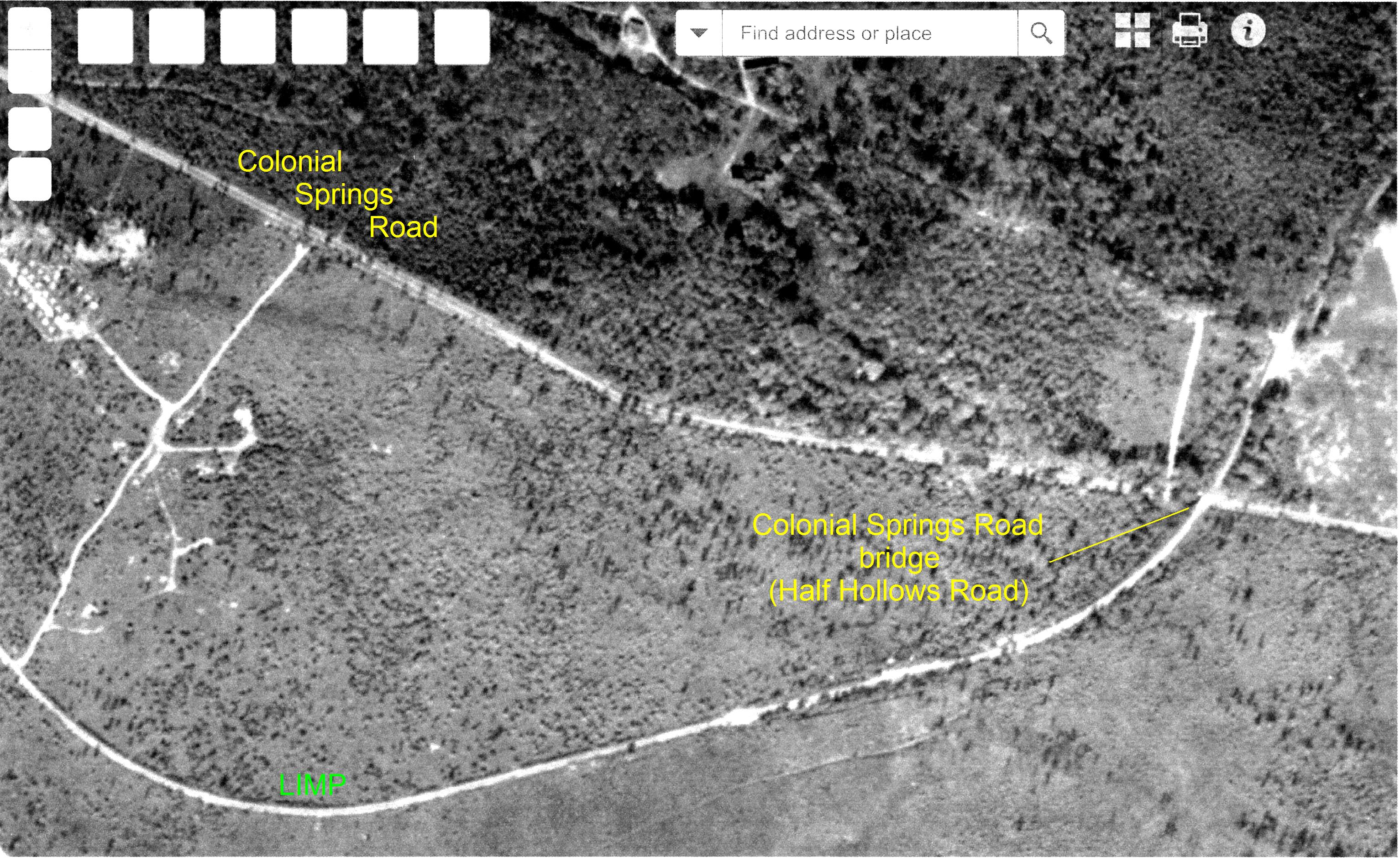
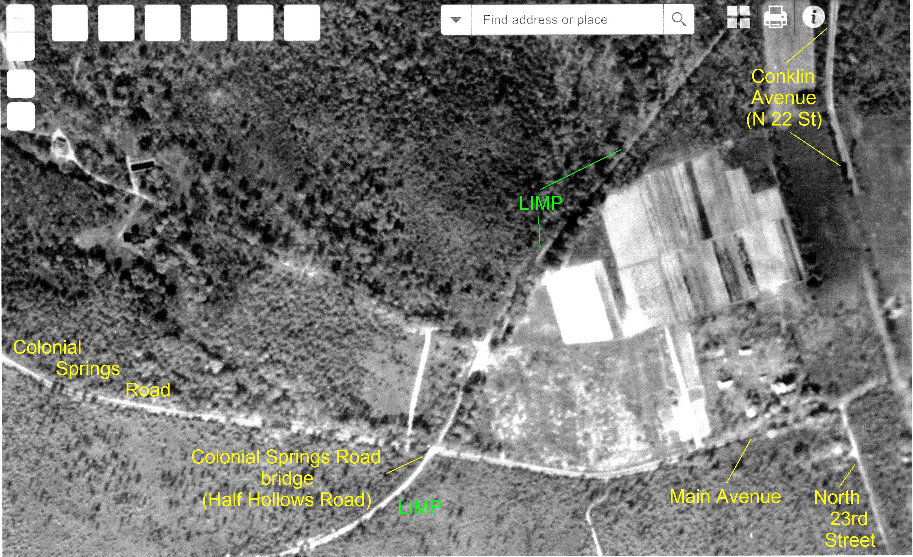
View from what was formerly the Half Hollows Rd Motor Parkway Bridge, looking west at Colonial Springs Rd.
LIMP pavement
Behind the VFW--pavement close up.
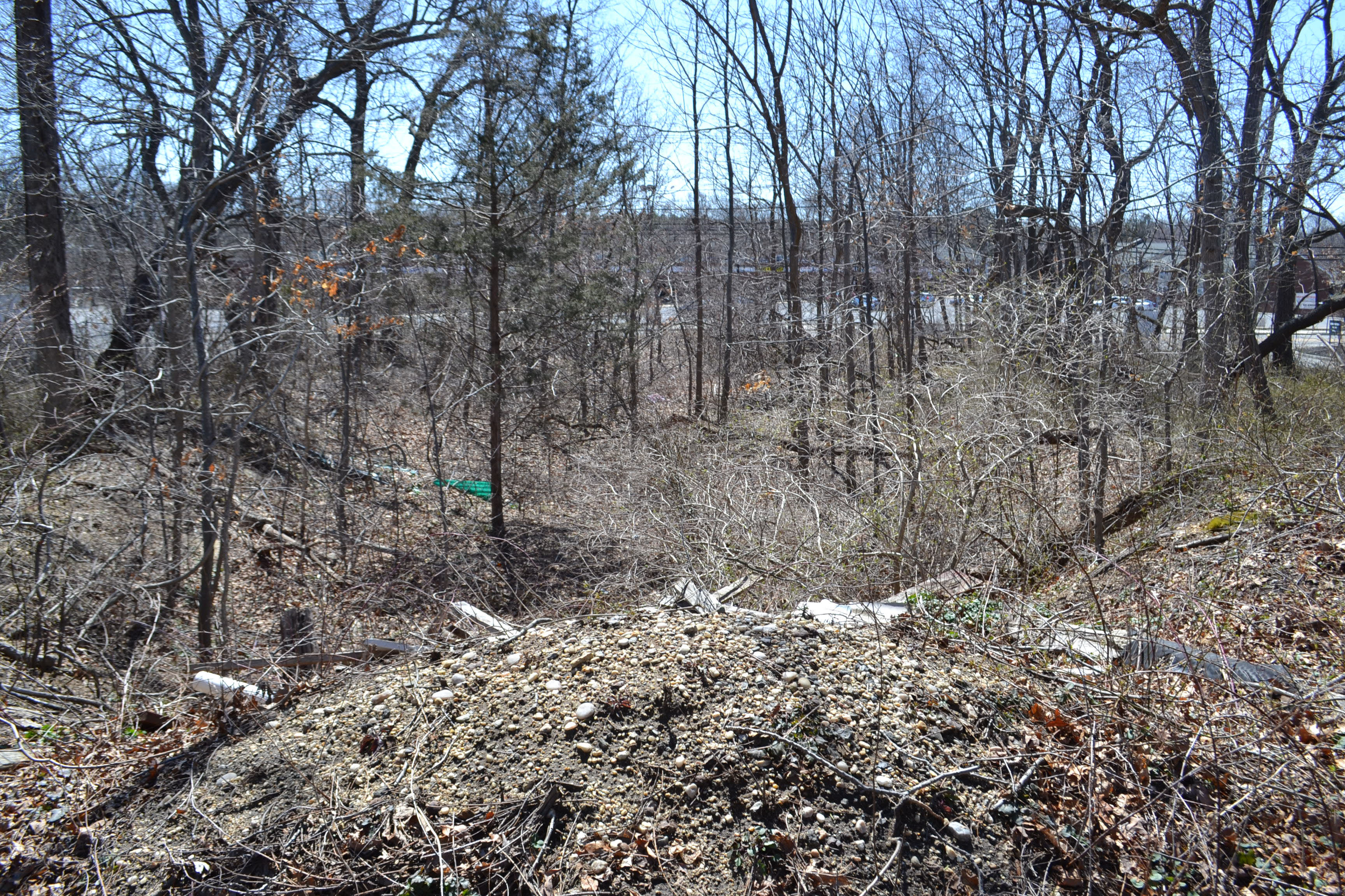
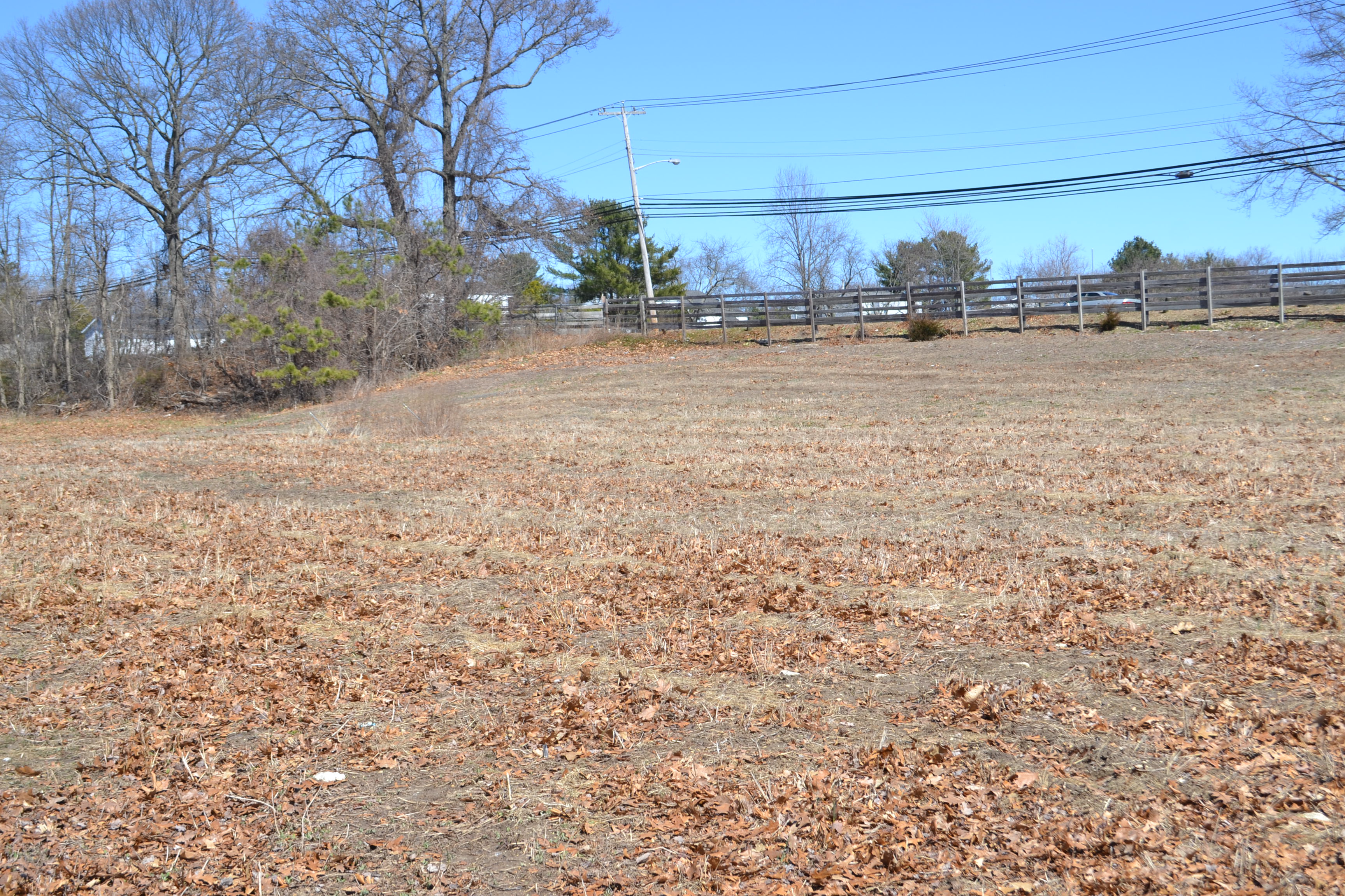
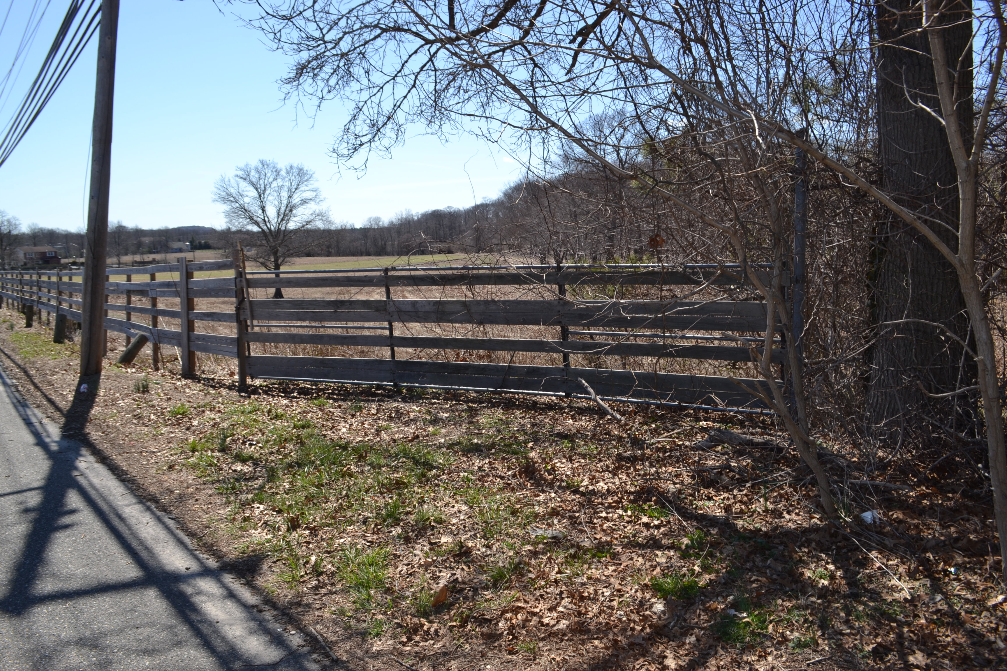
Heading east -- behind the VFW there is a large farm property that the LIMP follows up to Conklin Ave.
Heading east through some farmland there is pavement
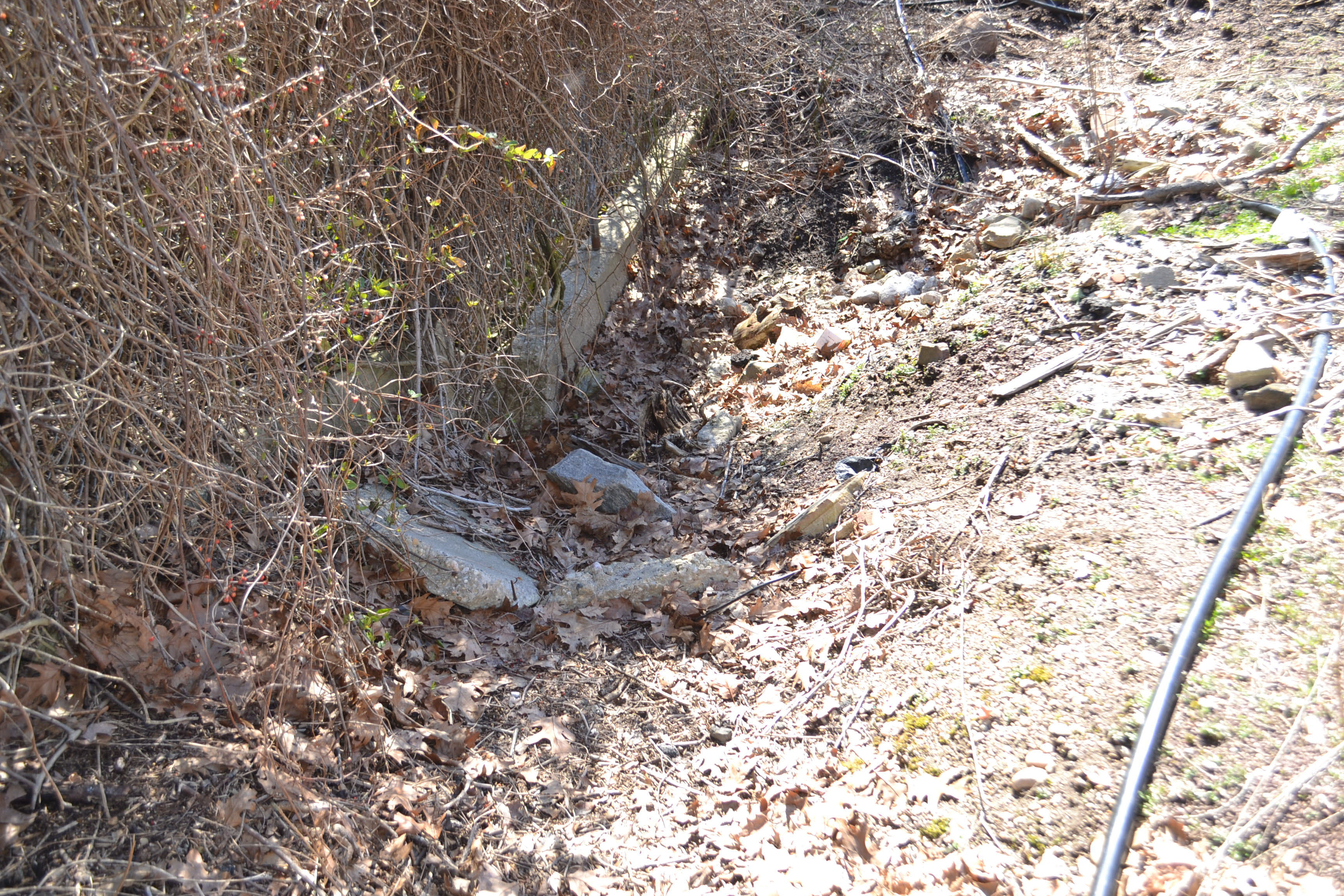
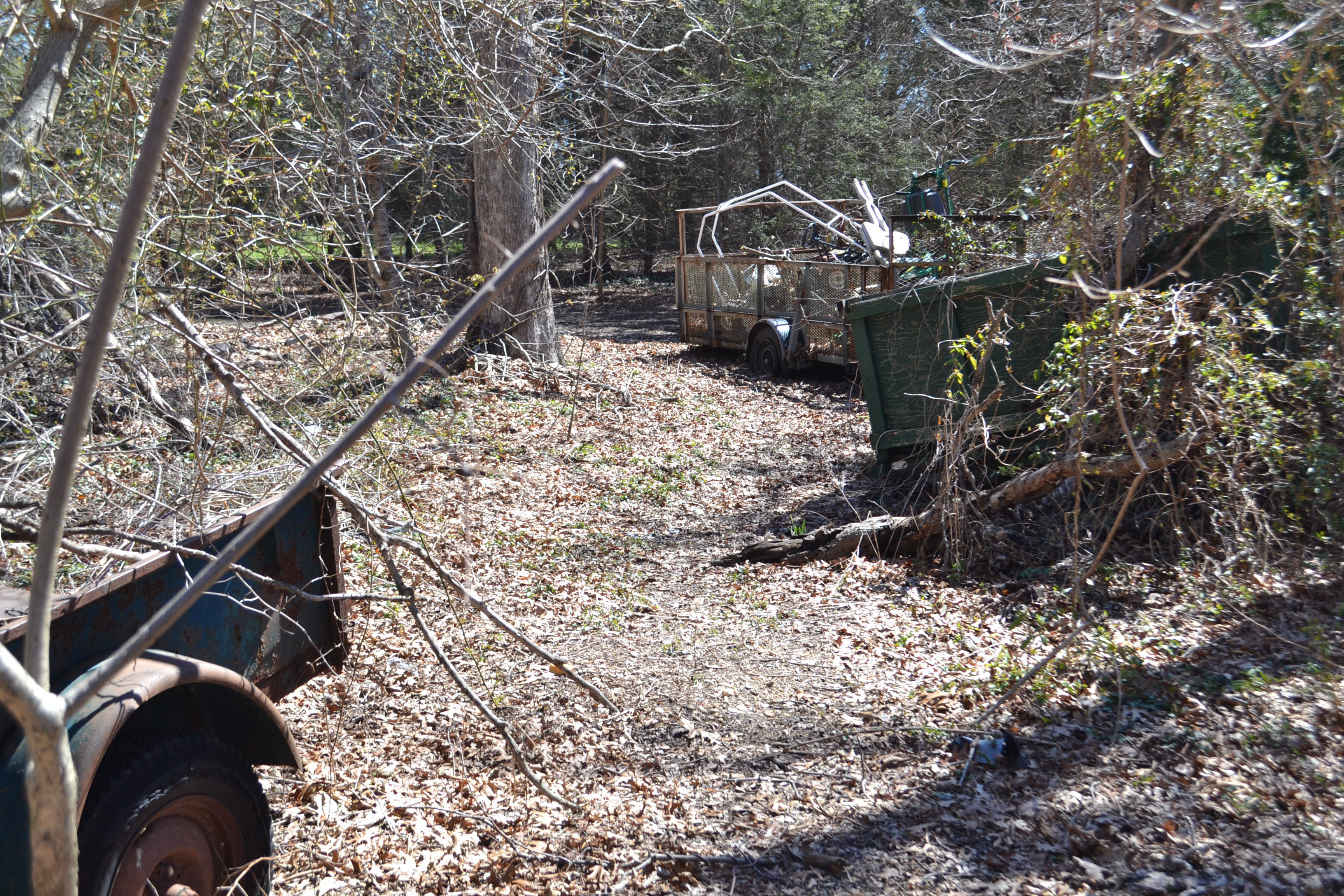
Road fragments but notice that border piece on the left....any thoughts?
Here are road fragments everywhere and the LIMP heads towards Conklin Ave in this location.
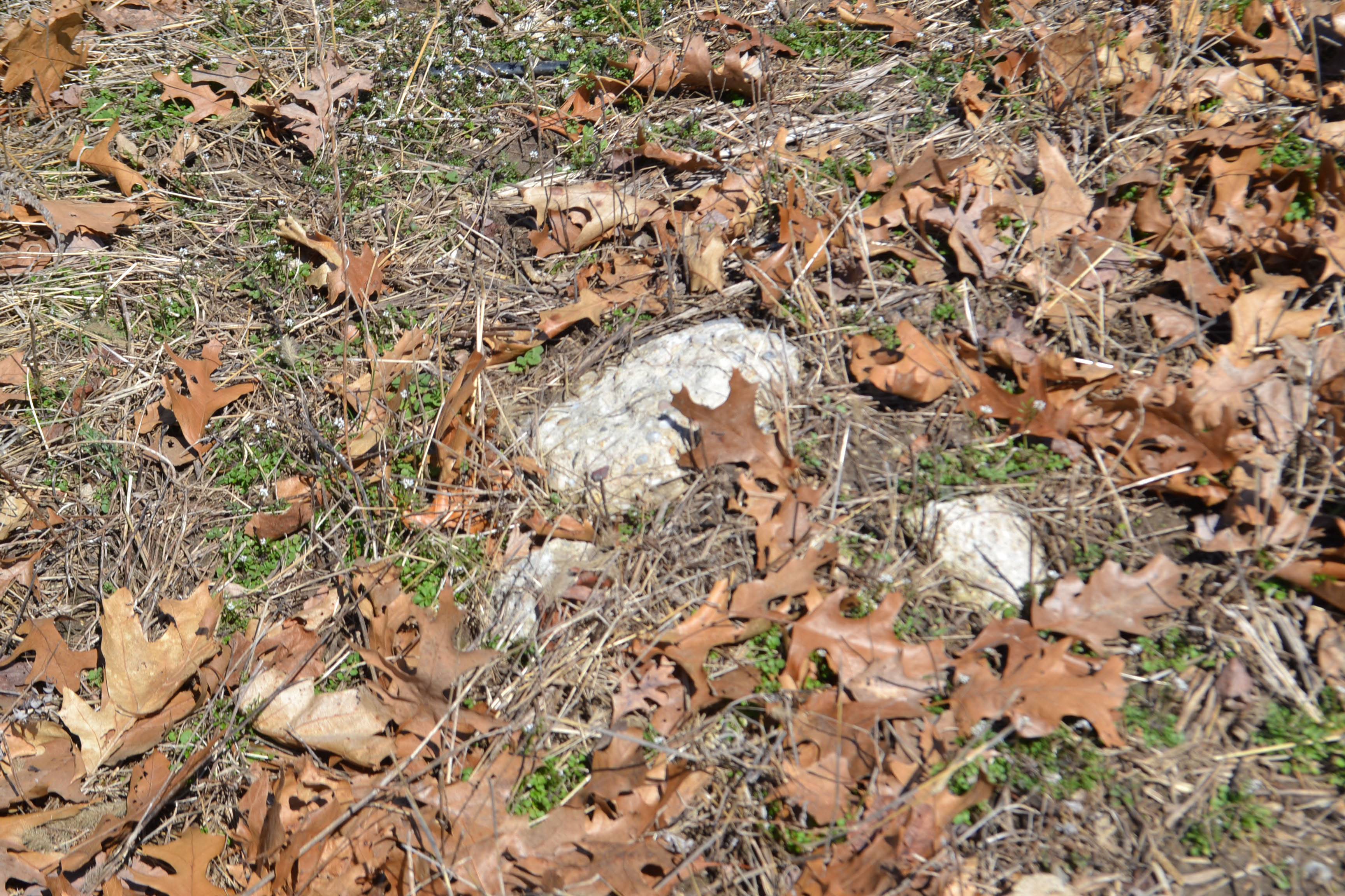
Fragments are everywhere.
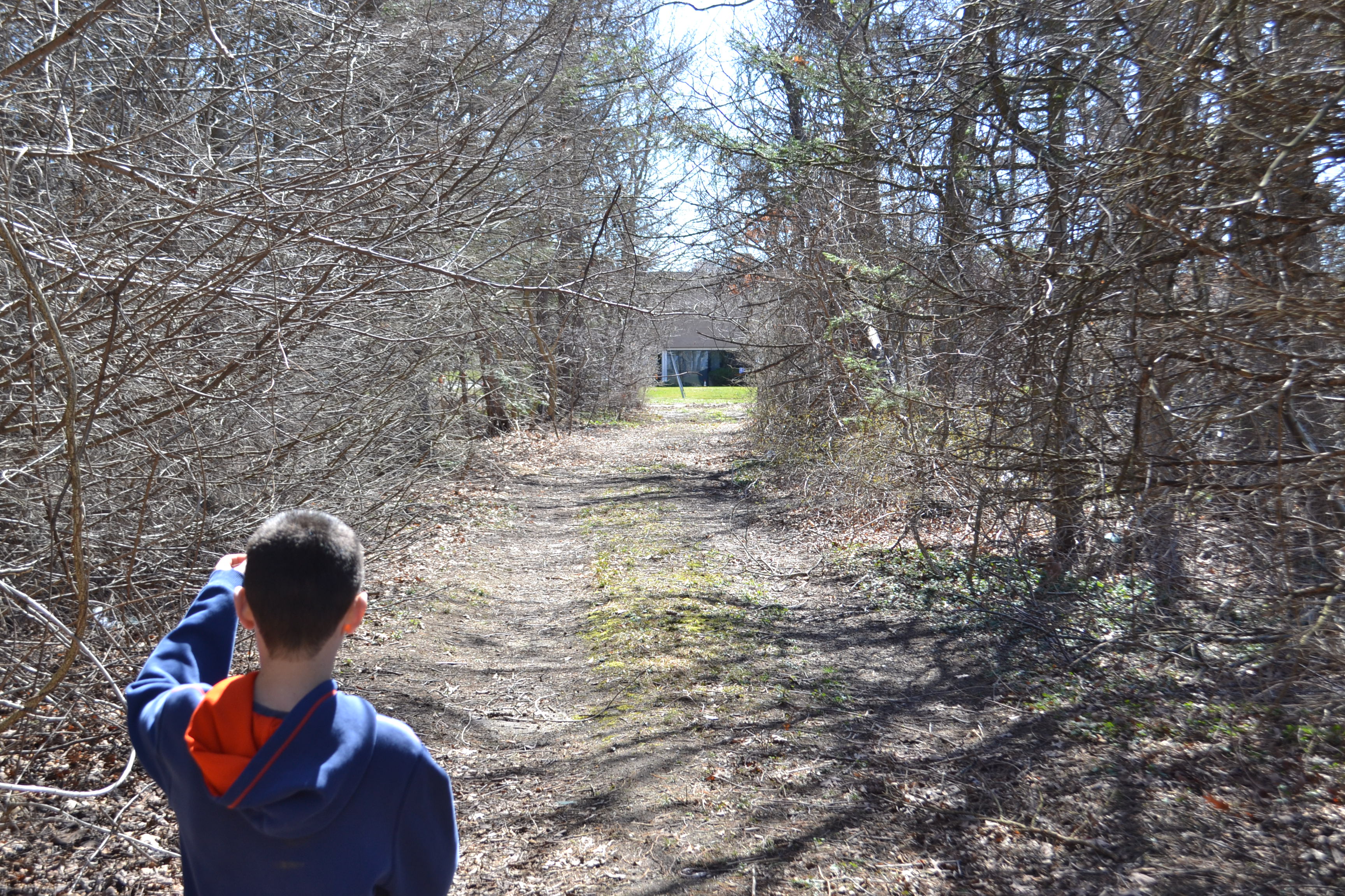
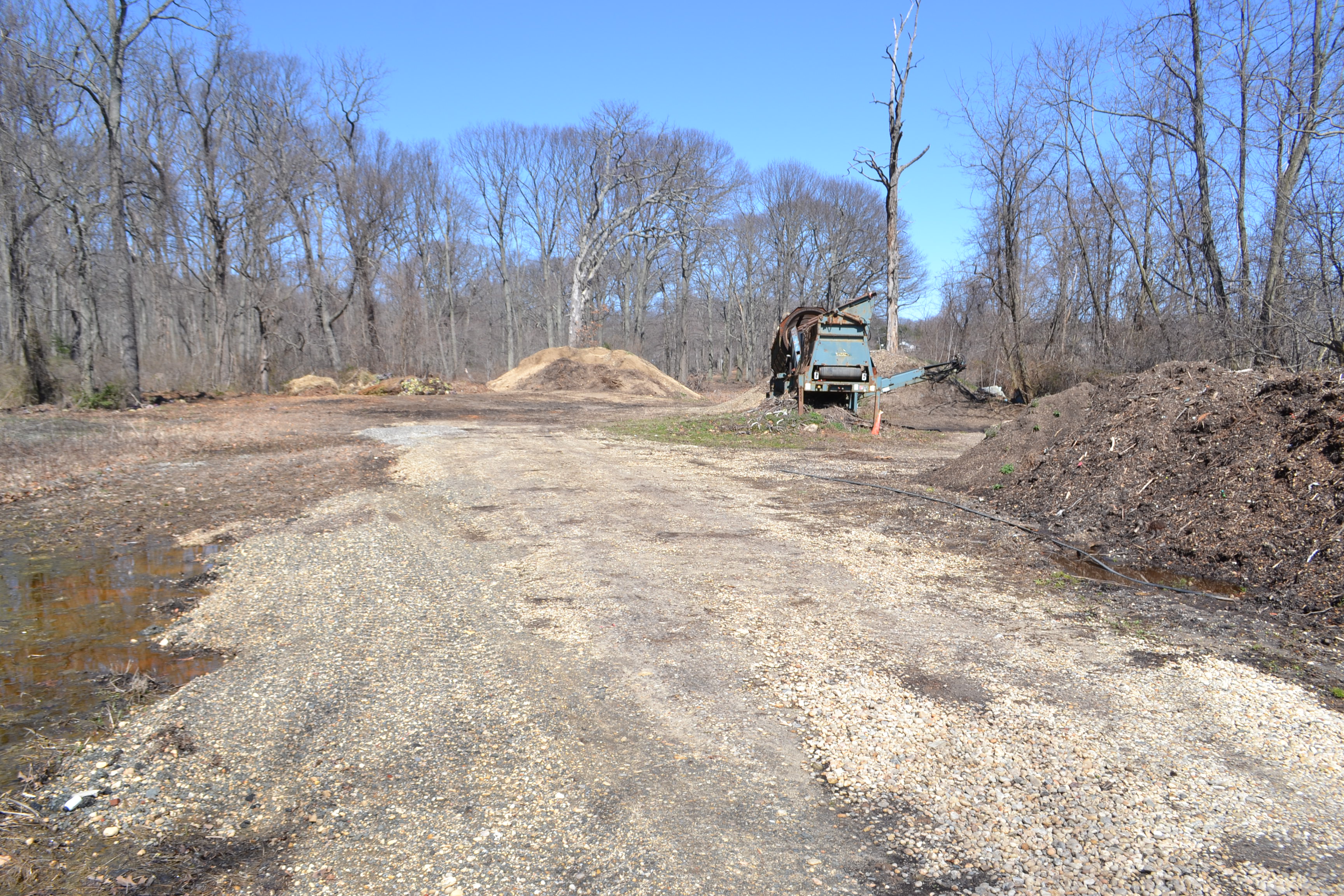
Coming out at this gate location. Maybe this was used by the farmer as road access at one time? Seems coincidental this gate would be at the point where the LIMP met up with Conklin.
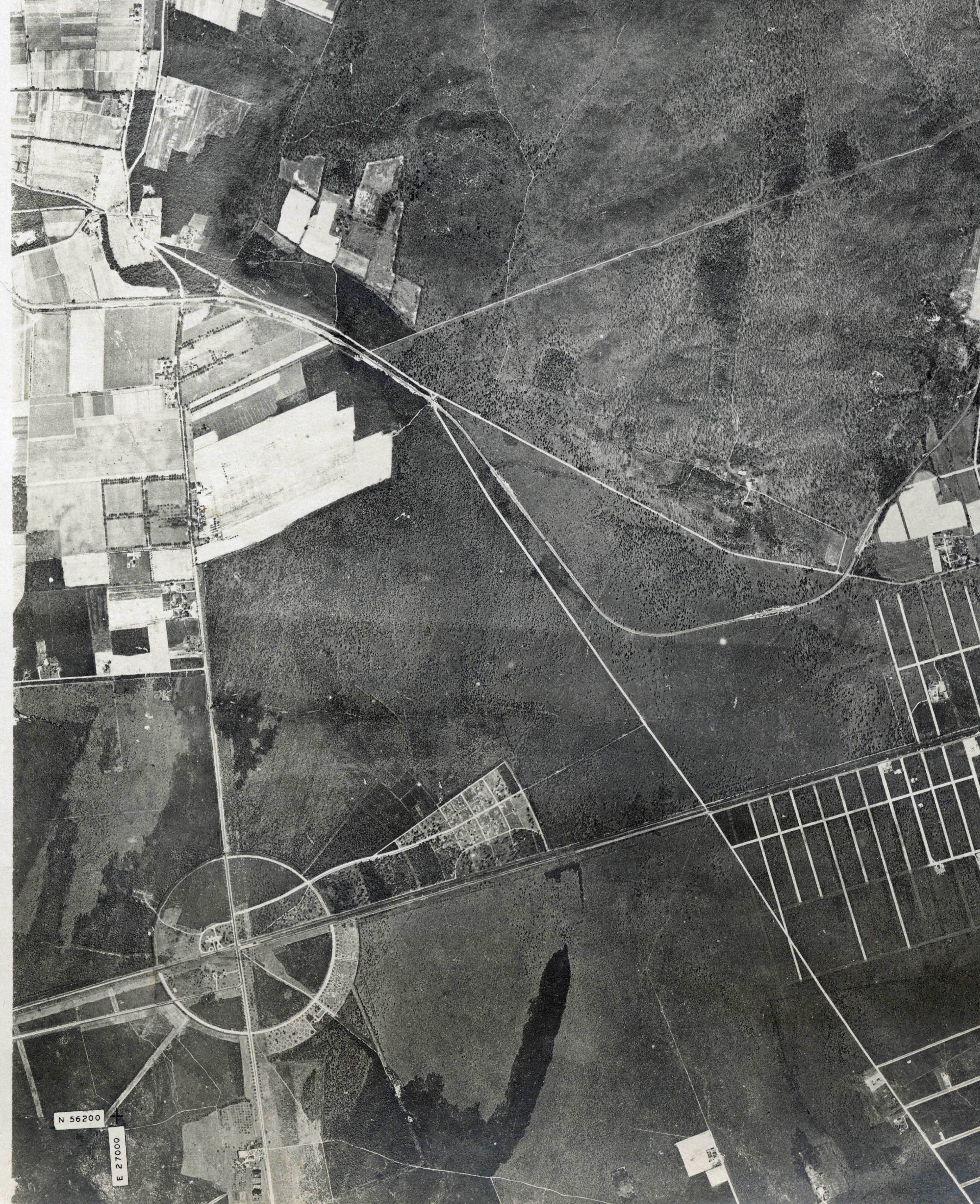
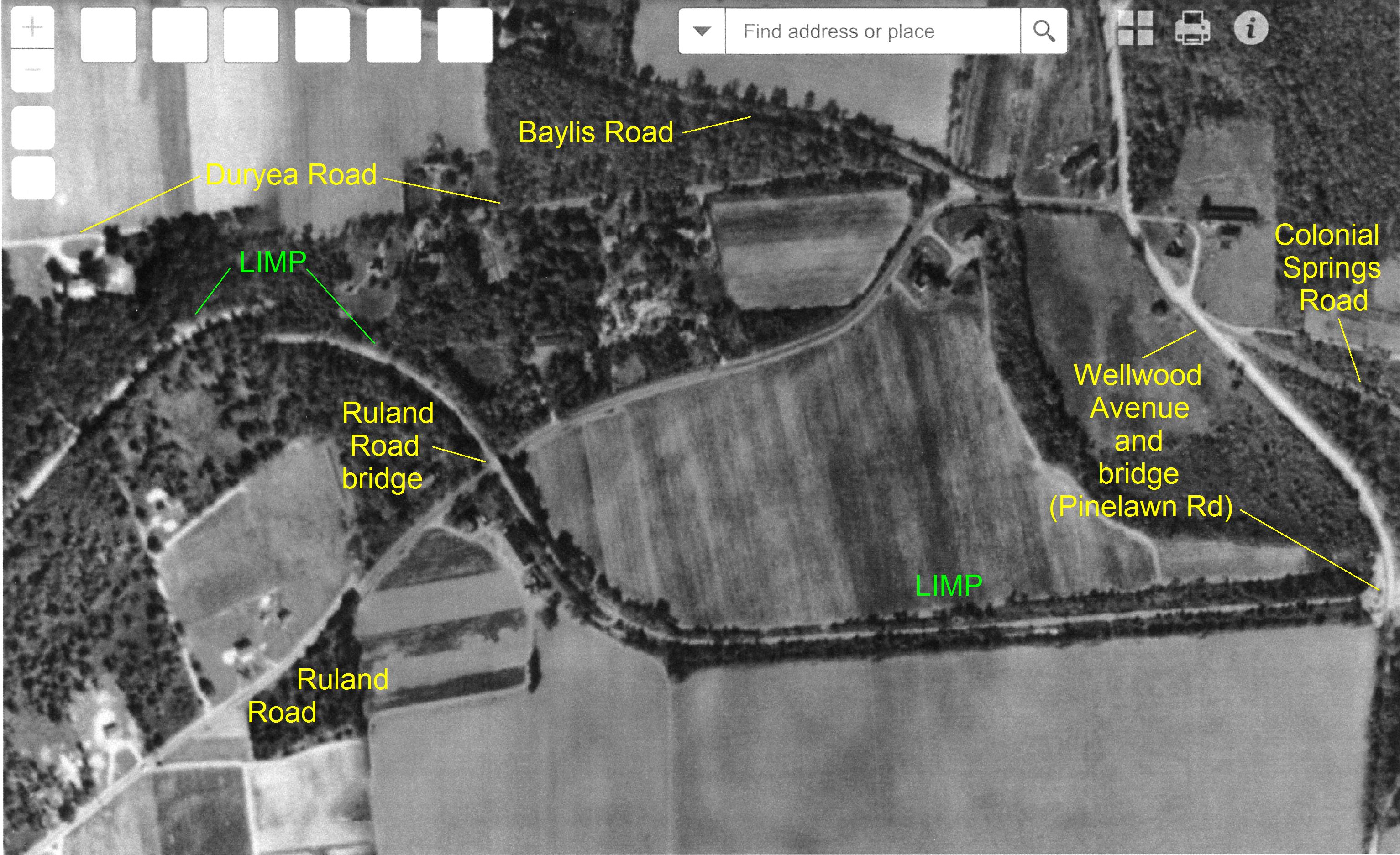
Aerial-1928
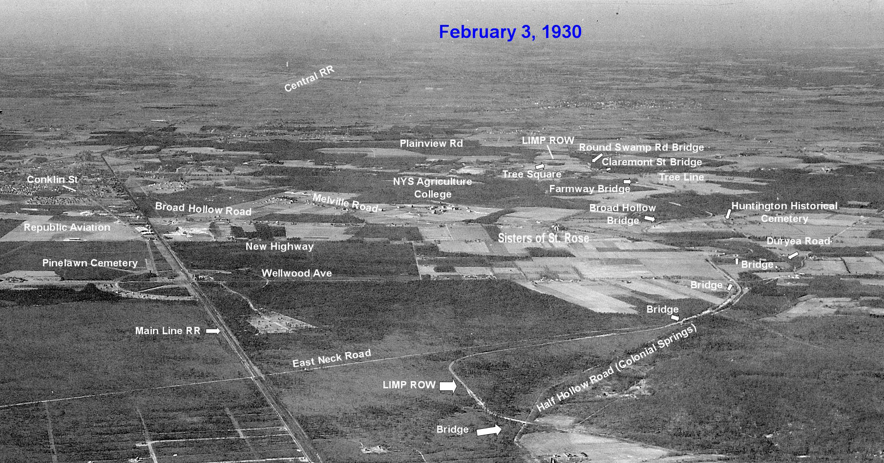
Aerial- February 3, 1930
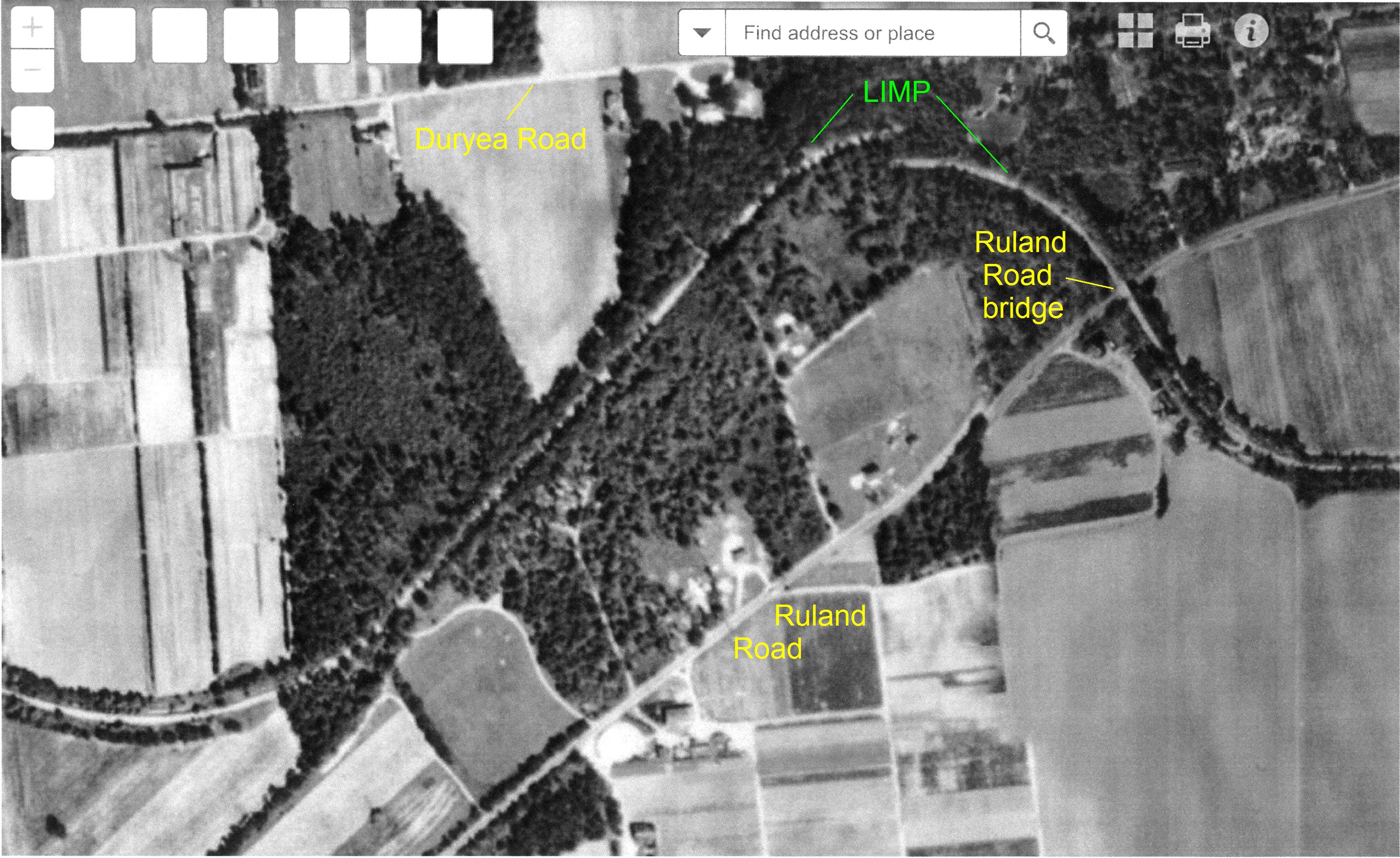
Femenias' Findings (Submitted by Frank Femenias)
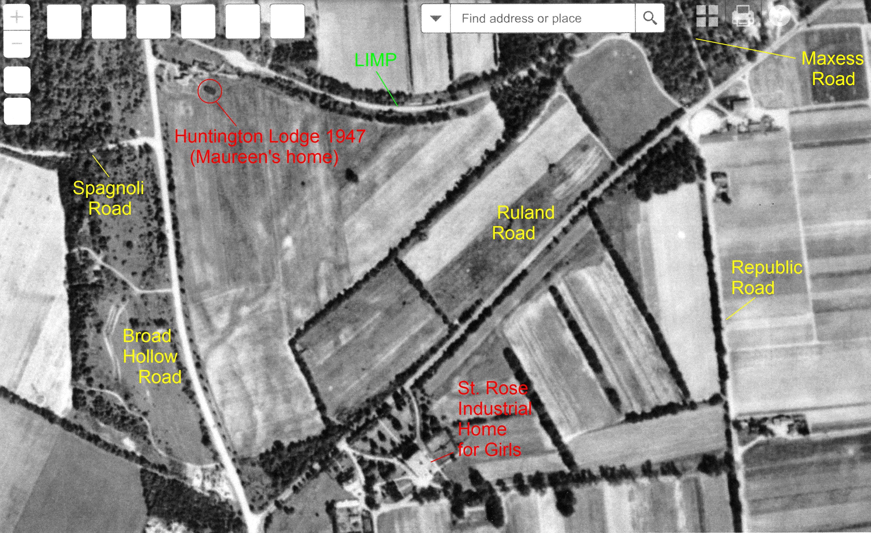
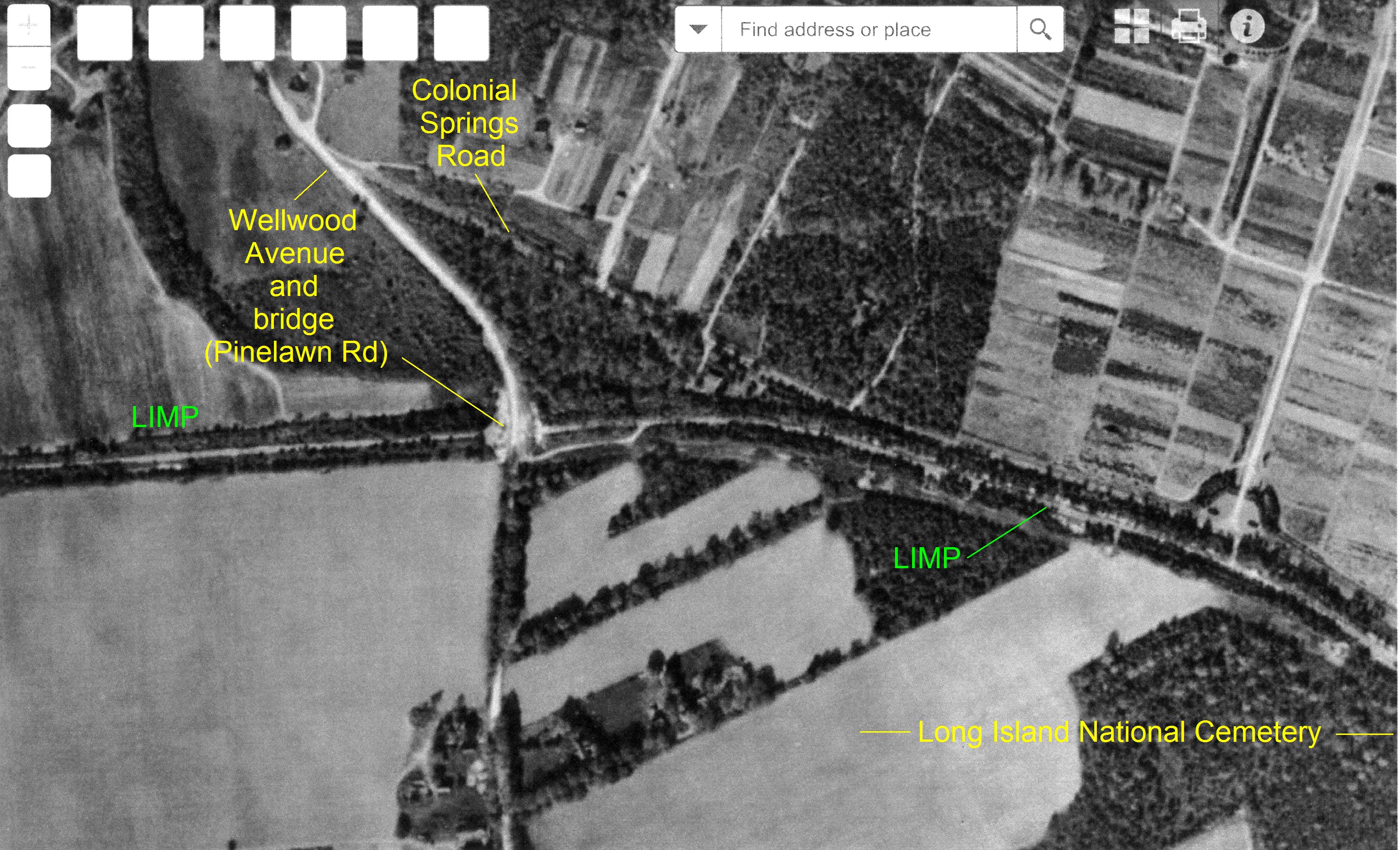
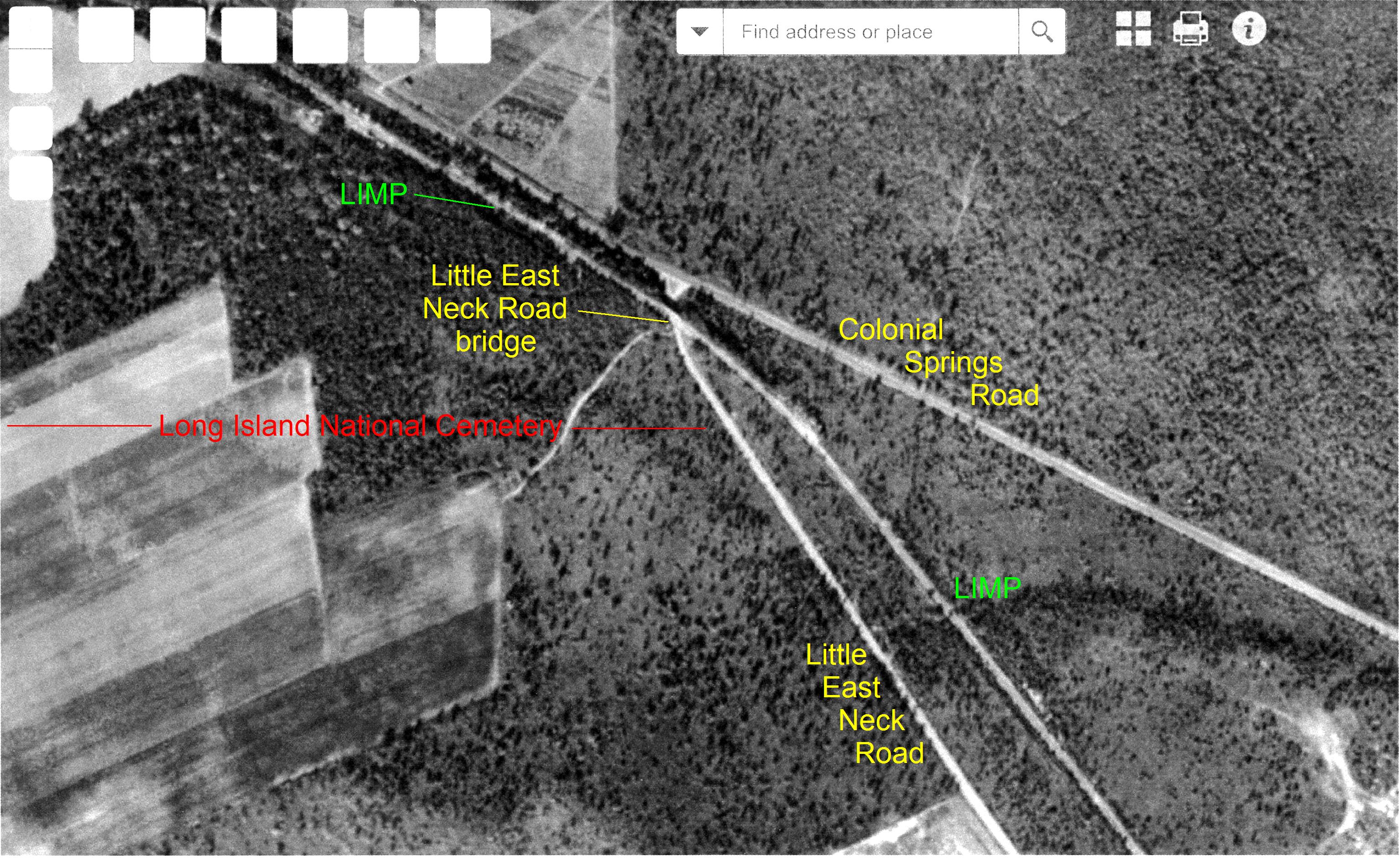
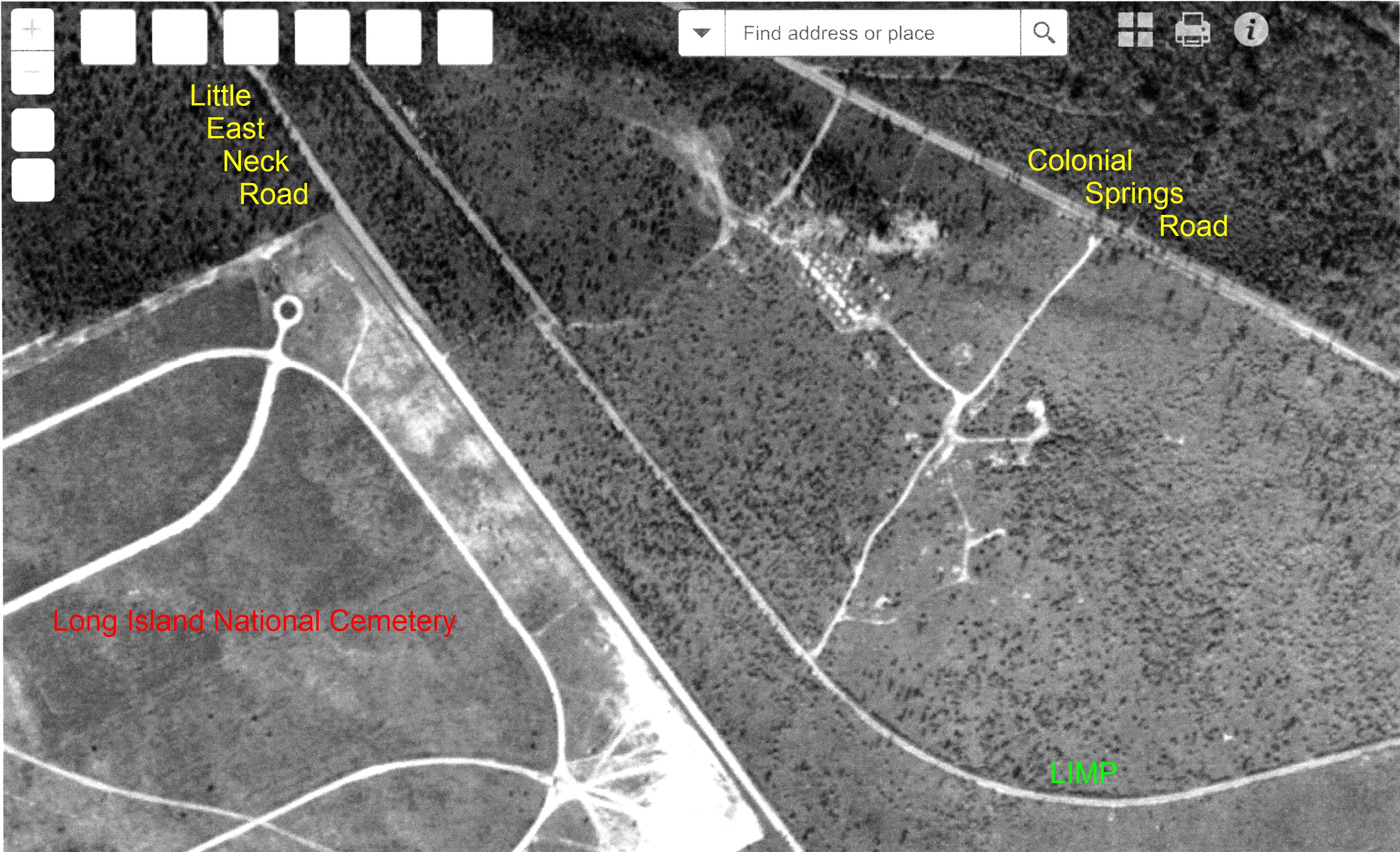
All aerials taken in 1947.


Comments
Love this. Awesome stuff Sam and Dave!! I can’t forget to mention Rob Miller, Sam III, Ron Ridolf, Howard, and others I failed to mention to make this all happen. You guys rock!
There is a long section of pavement north of the last location shown just above a LIPA substation on the east side of bagatelle road in Butterfly Park. The LIMP then crosses over bagatelle road near threepence drive and a paved curve of the roadway still exists with posts between several houses on the right side of bagatelle as it makes its way north . Near the entrance of chestnut hill elementary school is a large pile of roadway put there when constructing the school. This is just south of the L.I.E.
This area is one of the best places to discover the old roadway still intact and undocumented. I have never seen any photos , past or present, of this area on this site or any other site. It should be explored and posted more. Its worth the trip for any motorparkway fan.
Back from vacation and ready to LIMP!
21 images captured by the Dave & Sam ( and all the trekking of course )! You 2 went soup to nuts with this segment, excellent! And as always, great map coverage courtesy of Frank! Just like you mentioned, Dave: the LIMP is basically lost between Little East Neck Rd & Colonial Springs Rd ( Residential Area & Shopping Center. If there was original pavement to be found in there, you 2 would let us know. )
After viewing the Suffolk County GIS map year 2016, I can see the LIMP ROW between Maxess Rd. & Ruland Rd. ( Images 1 thru 4 ). The new housing on the N/S of Ruland Rd didn’t disturb the LIMP curve, I think. Image 4 appears to be between #107 & 111 Ruland Rd ( Nurseries ).
Image 18 ( Border ) that’s along the W/S of the Farm Property…Viewing this closeup, I think there’s a chain link fence cemented in the border section?
Image 21 ( Gate ). The farm must have utilized the ROW after 1938. The gate location seems to be over the ROW.
Don’t know how much further the team trekked into Dix Hills. We’ll find out soon enough. Thanks, Father & Son!
Frank—-as usual your map work is awesome. Thanks.
Eric—-you are 100% correct. Hang in there. We are moving from west to east as you can see. We are getting to the locations of which you mention and there are pics of everything. Stay tuned.