Newsday, November 15, 1951: Motor Parkway Pioneered U.S. Auto Travel
Thirteen years after the Motor Parkway closed, Helen Dudar wrote this article on our favorite parkway for the November 15, 1951 issue of Newsday.
Enjoy,
Howard Kroplick

Note:
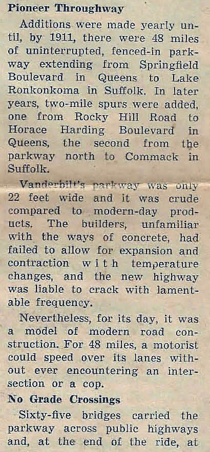
In 1911, the Motor Parkway was approximately 40 miles long.
Initially, in many sections, the road was only 16 feet long. Three-foot concrete extensions were added in the late 1920s to make the width 22 feet.
Only 60 Motor Parkway bridges have been documented on VanderbiltCupRaces.com.
Note:
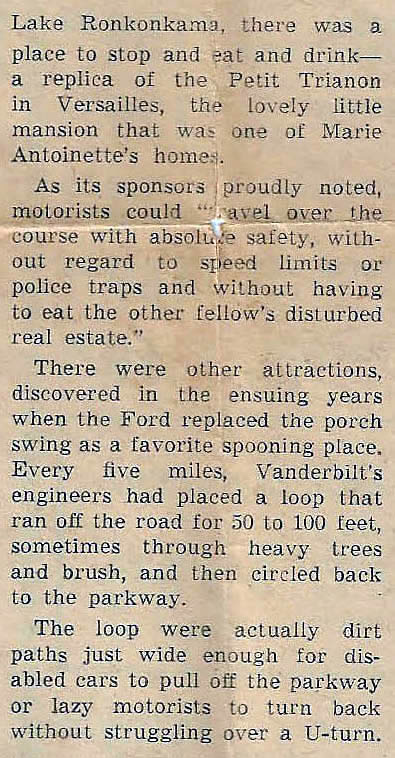
The Petit Trianon Inn was not a replica of the Parisian building.
A 40 MPH speed limit was eventually place on the Motor Parkway.
There were no loops built on the Motor Parkway.
Note:
There were 20 toll collection structures built for the Motor Parkway from 1908 to 1928.
Note:
The Motor Parkway closed in 1938.
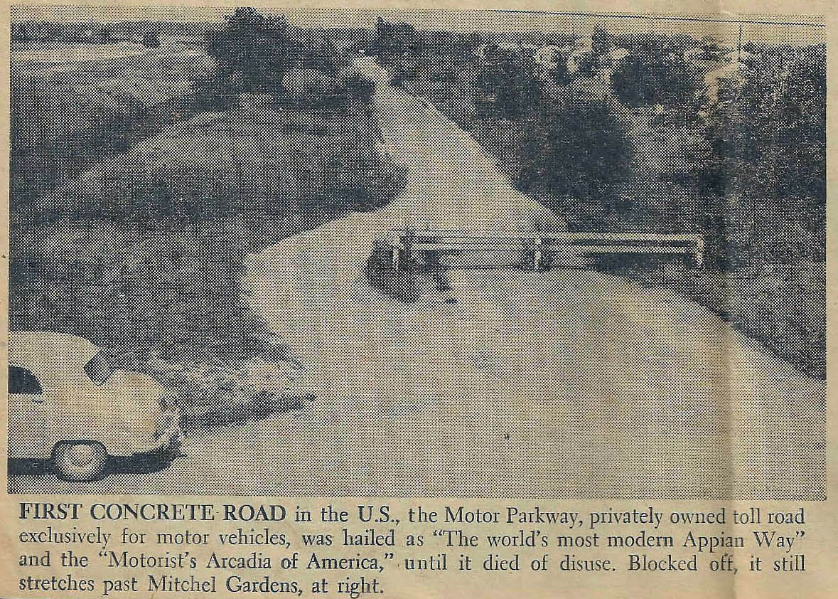
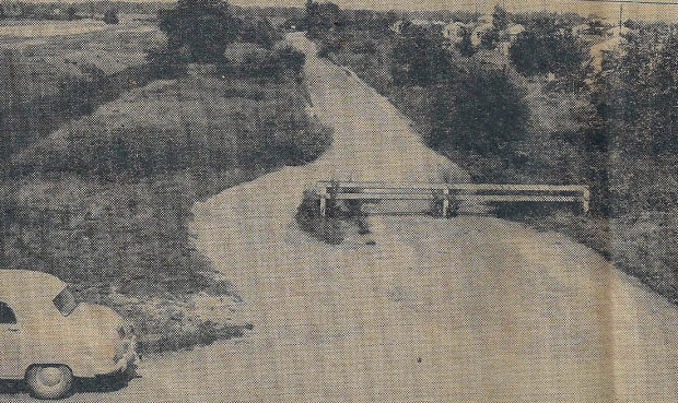
A rare view of the Motor Parkway looking east with the Mitchel Gardens housing complex associated with Mitchel Field on the right.


Comments
Fascinating info!
I somehow missed this gem; an interesting, if deeply flawed, story. 1935, indeed; amazing that I can remember riding on it at such a tender age! But do tell us more about these fascinating turnouts-cum-turnarounds every five miles, please. Horse puckies, no? Sam, III
This would’ve made a great mystery foto! This image must have been taken from atop the Roosevelt Field Hwy Bridge. I remember Art Kleiner’s mystery foto viewing the LIMP west from this bridge, also from Newsday.
Thanks for the Motor Parkway story. I remember when I was young having our Boy Scout leader taking us for hikes on it—we kept asking him if it would ever be opened again for cars.
Ken
O. K., Mark! ‘50 Plymouth? Sam, III
Great story even with the flaws. The car in the photo is a Kaiser or Frazer which were produced from 1947 to 1954. I would point out that the section running through Levittown was not small.
—————————————
Howard Kroplick
Mike, the original eight miles of the Motor Parkway was 22 feet wide.
I wonder what happened to the Mitchel Gardens stretch after 1953, when construction started on the Meadowbrook Parkway extension.
Great observation Brian! I knew something was odd/obvious about this photo but was unable to figure it out. YES, photo most likely taken from on top of one of the twin bridges! The elevation is about right and the parkway curving to the right down the road matches (~1000ft), towards the Meadow Brook Lodge and Bridge. As Howard stated this is a rare view of the stretch. Both bridges were taken down sometime in the ‘40s (late ‘40s?). Though the article was written in ‘51, the auto appears to be late ‘40s. Fantastic article, thanks Howard.
Great story. Odd how author can make factual errors like this though. Strange.
Where did he even come up with the deeply wooded turn around spots every 5 miles? How could he just make this up? Was this originally planned but then never happened? I never heard about this. He specifically says engineers planned and did this.
Hey frank, I’m waiting for you to show me exactly where this Mitchell gardens picture is today! What’s taking you so long??
Dave - I believe with Brian the old photo most likely taken from on top of today’s Merchant Concourse bridge looking east, over the MSP, with the former Mitchell Gardens on the right side (south), home today to some industrial plant with a smoke stack.
I’ve noticed on some old aerials the possible, so-called dirt turn arounds, “shoulders” that occasionally appear. I’m not confident about every five miles or if they were designed by engineers. I believe they were carved out by motorist over time, likely scenic/favorite private spots to visit/rest along the roadside
- carved out just like the same bypass around the barrier in the photo
Frank Femenias’s LIMP map is marked at every 5 miles. Some ‘stops’ are at 5 mile points: Wheatley Hills Golf Club, Half Way House Tea Room, Ronkonkoma Lodge.
Thanks to Art Kleiner, Paula S., and son Jeff, a view of the parkway in the opposite direction, taken about the same time as the 1951 article, but from the nearby Roosevelt Field bridge.