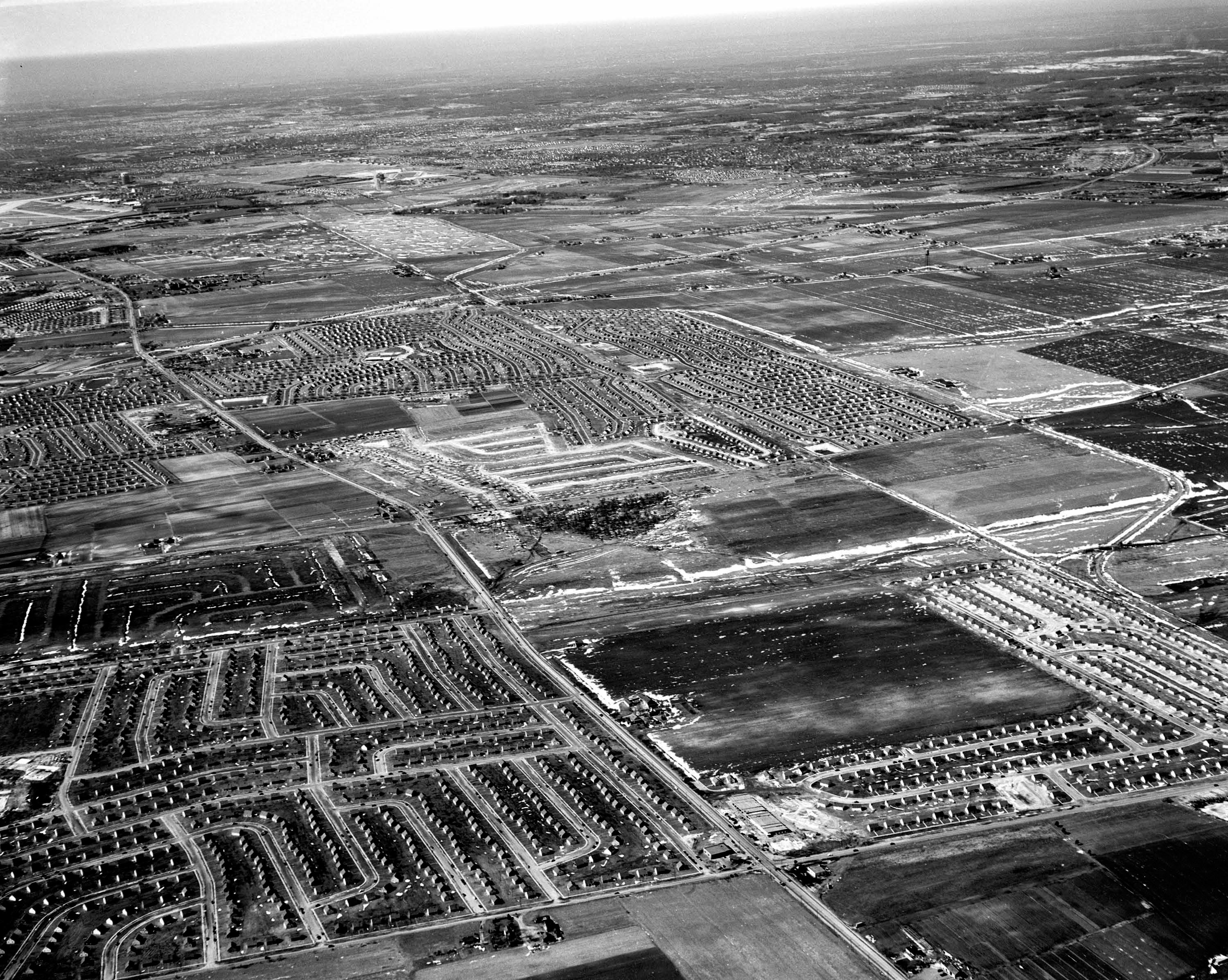
Mystery Foto #41 Solved: An Aerial of East Meadow and Levittown Circa 1949
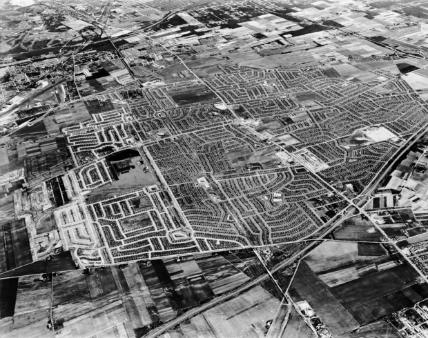
This weekend's Mystery Foto documented a booming suburb in Nassau County.
Mystery Foto questions:
- Identify the aerial's location and orientation
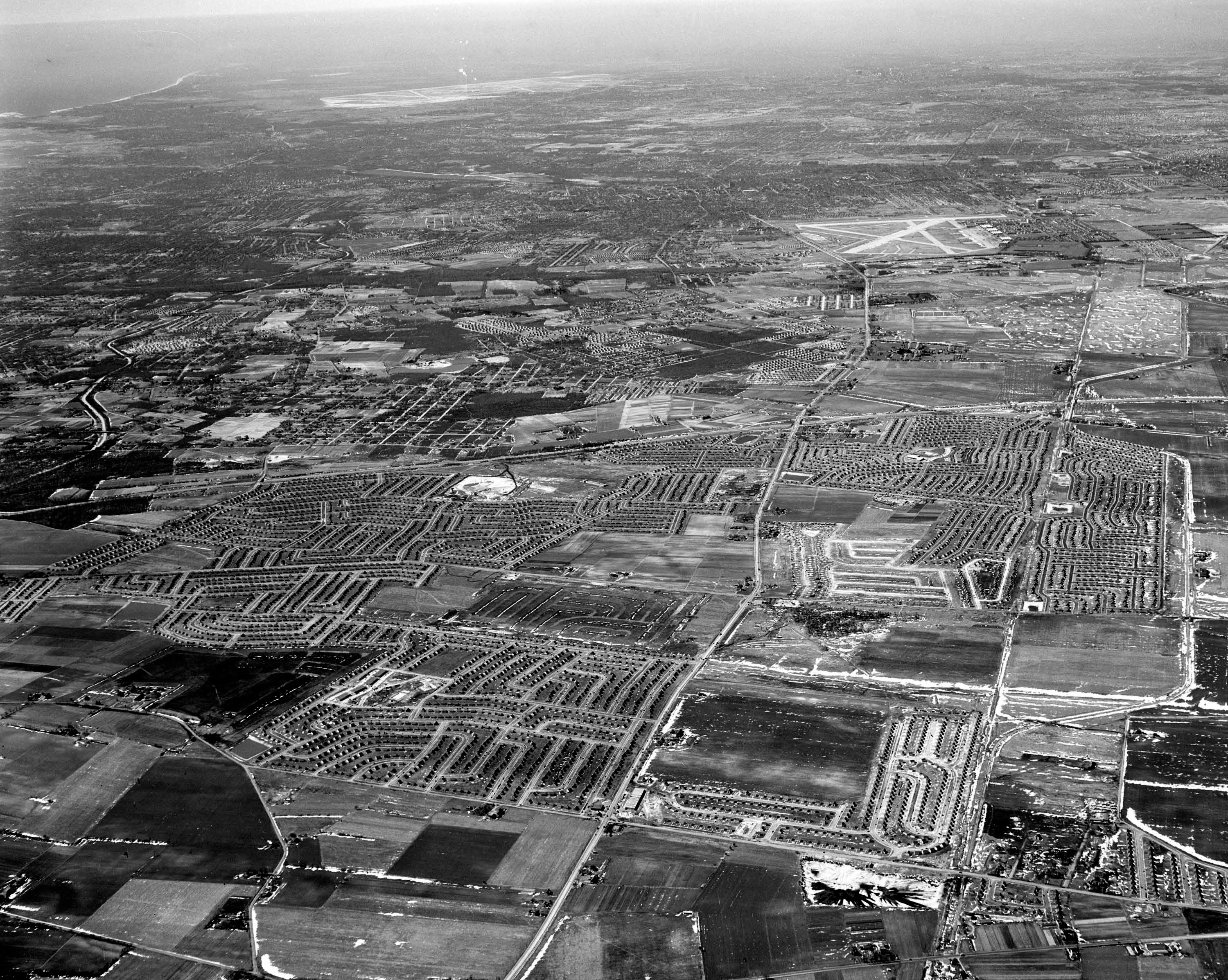
East Meadow and Levittown looking east/southeast.
- Identify the roads in the aerials that were used for four Vanderbilt Cup Races
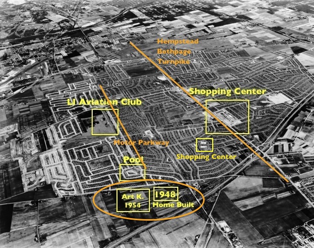
1904 Vanderbilt Cup Race: Hempstead Turnpike
1908, 1909 and 1910 Vanderbilt Cup Races: Long Island Motor Parkway
- Identify the large buildings in the aerial
Long Island Aviation Country Club hangar and clubhouse
Grumman Airfield and buildings in upper left corner
Various Levittown shopping centers/pools built by Levitt & Sons
Art Kleiner's homes
- What year was this aerial taken? Provide a rationale.
The caption on the photo reads 1949. Given the still standing Long Island Aviation Country Club hangar, the aerial may have been taken anytime form 1949 to 1950.
Congrats to Joe Oesterle, Michael LaBarbera, Dick Gorman, Art Kleiner (see Kleiner's Korner), Greg O., Richard Sloan, Frank Femenias (see Femenias' Findings),Tim Ivers, and Steve Lucas. Kudos to Art Kleiner, Greg O. and Steve Lucas for identifying the roads used for four Vanderbilt Cup Races.
Enjoy,
Howard Kroplick
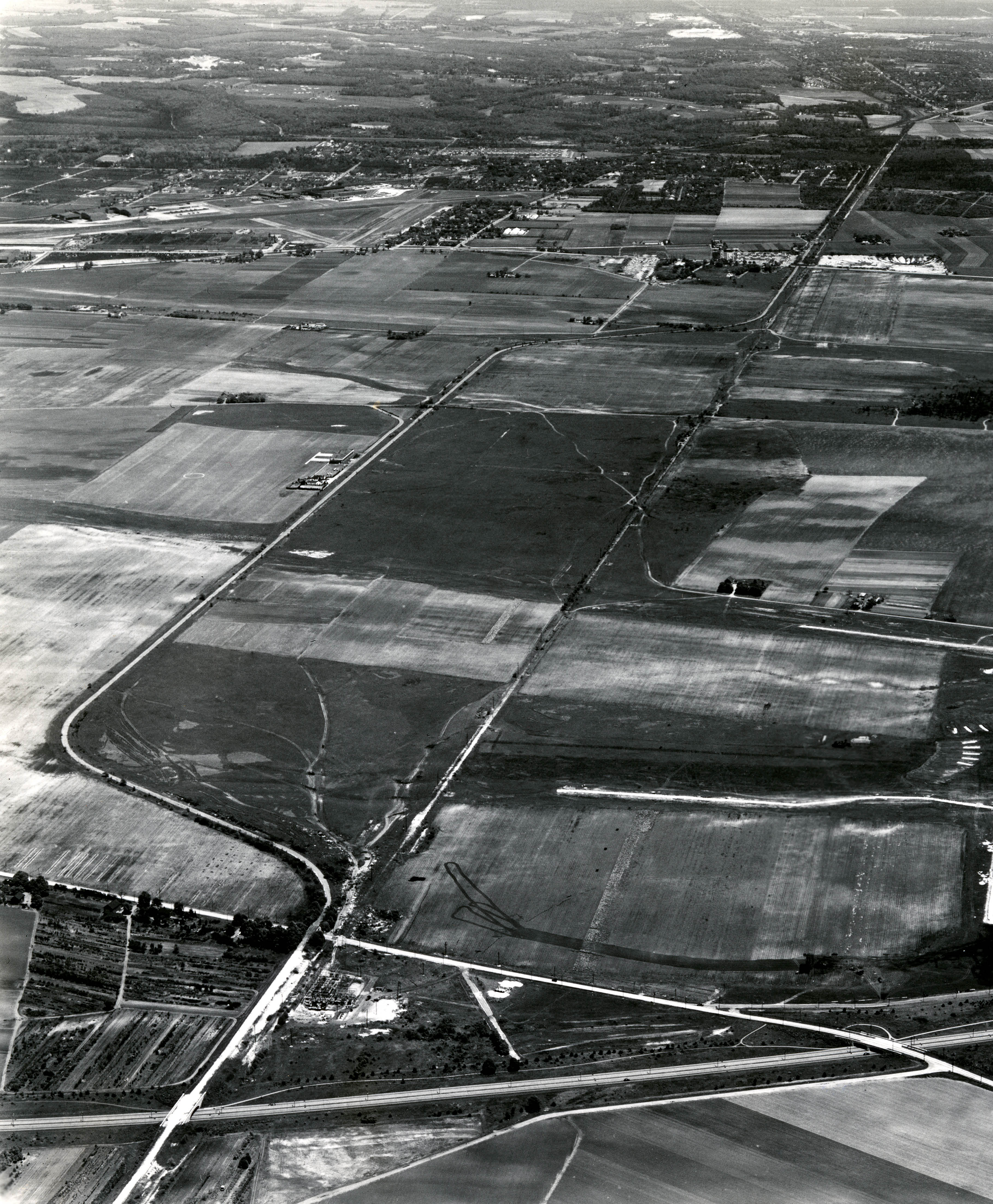
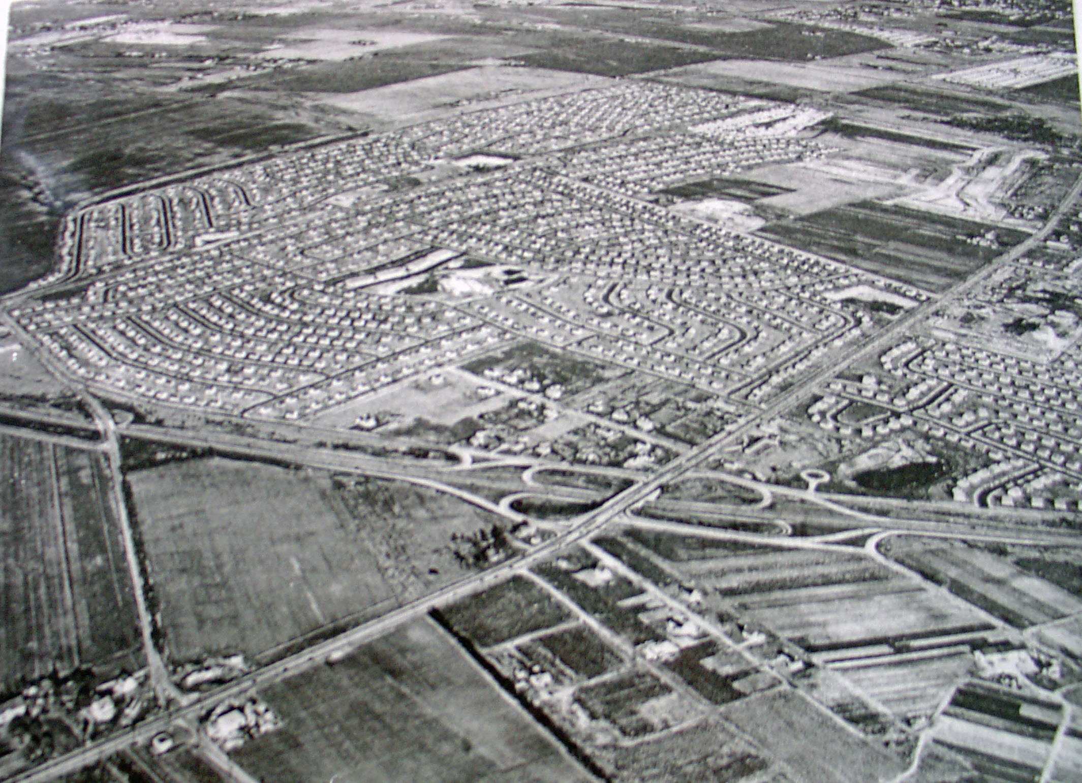
Closeup

Kleiner's Korner (Submitted by Art Kleiner)
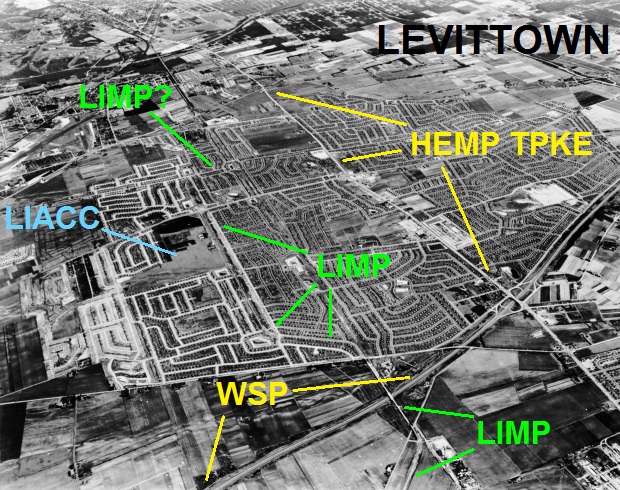
Femenias' Findings (Submitted by Frank Femenias)
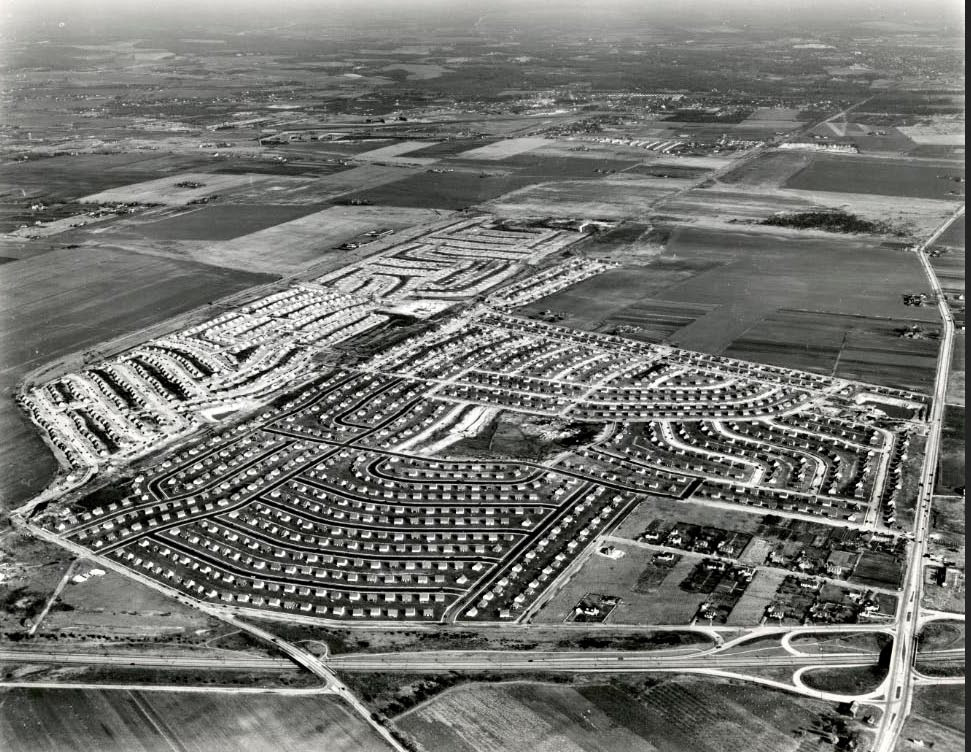
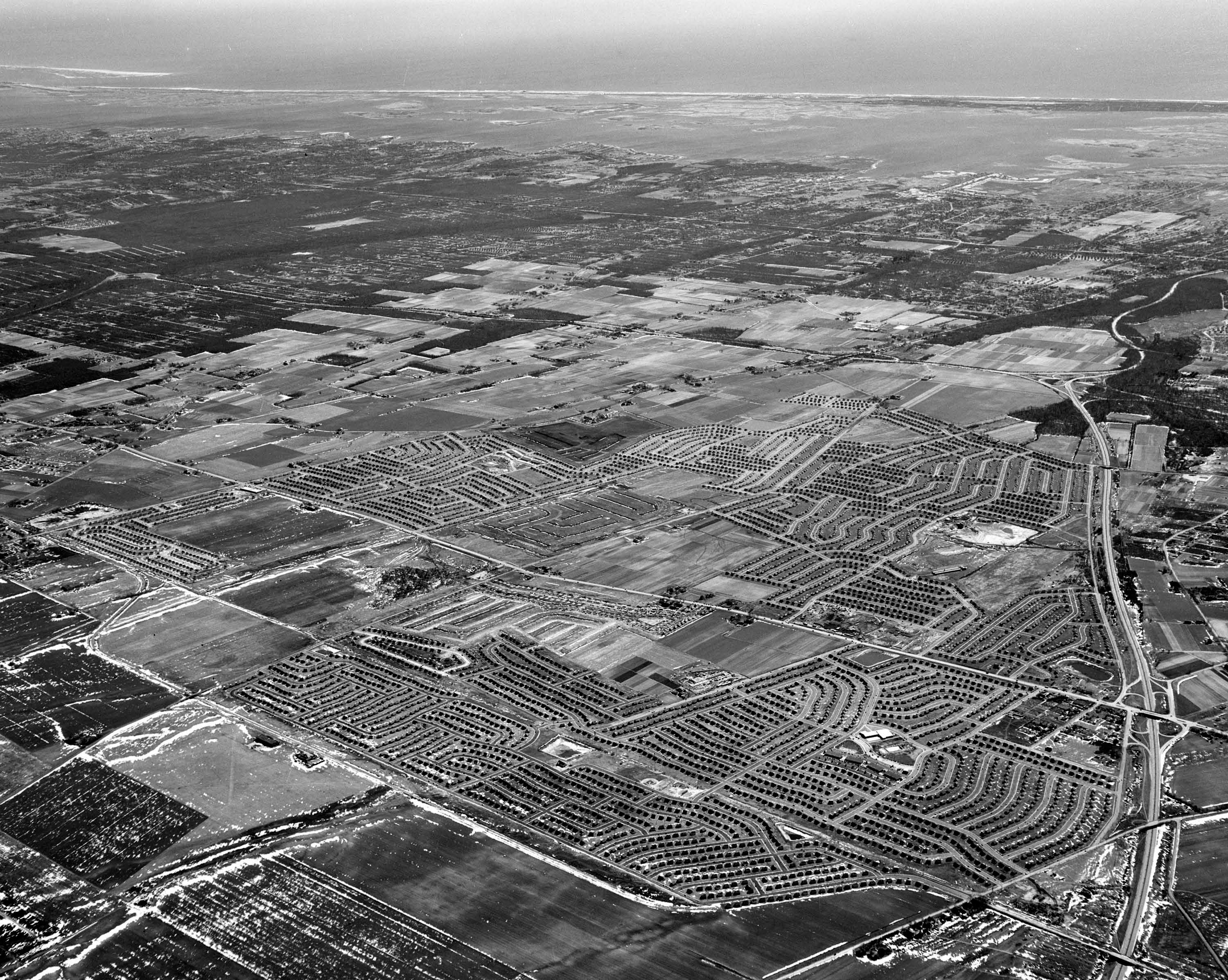
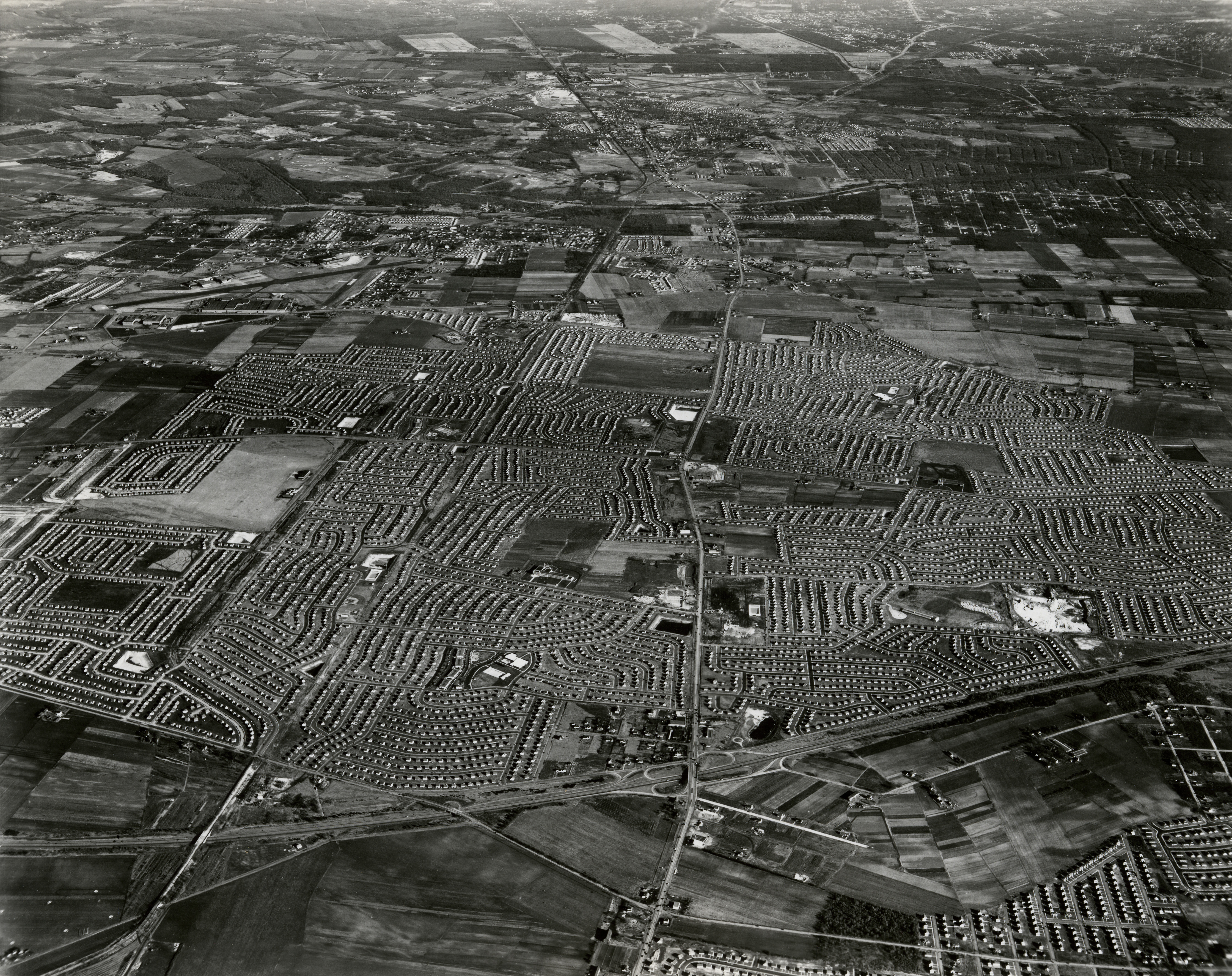
Other Aerials of Levittown
1924
May 27, 1947
November 13, 1947
Late 1947
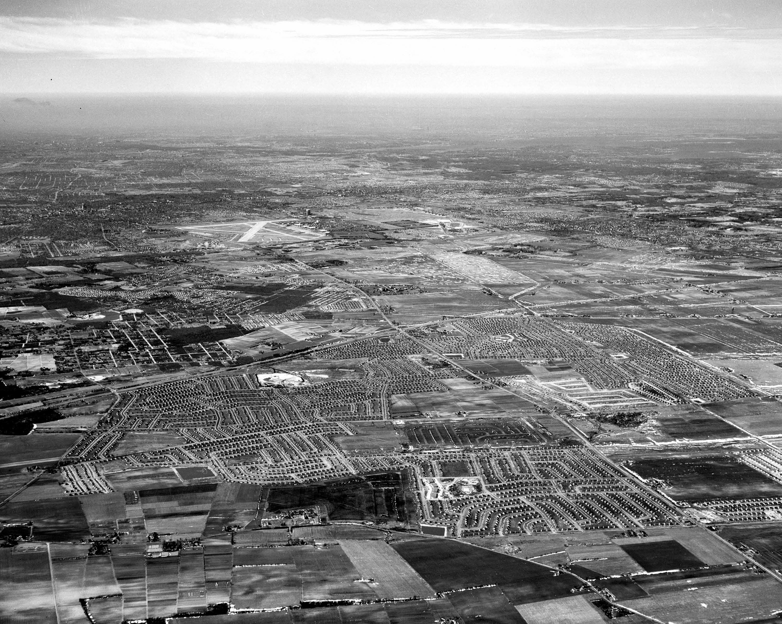

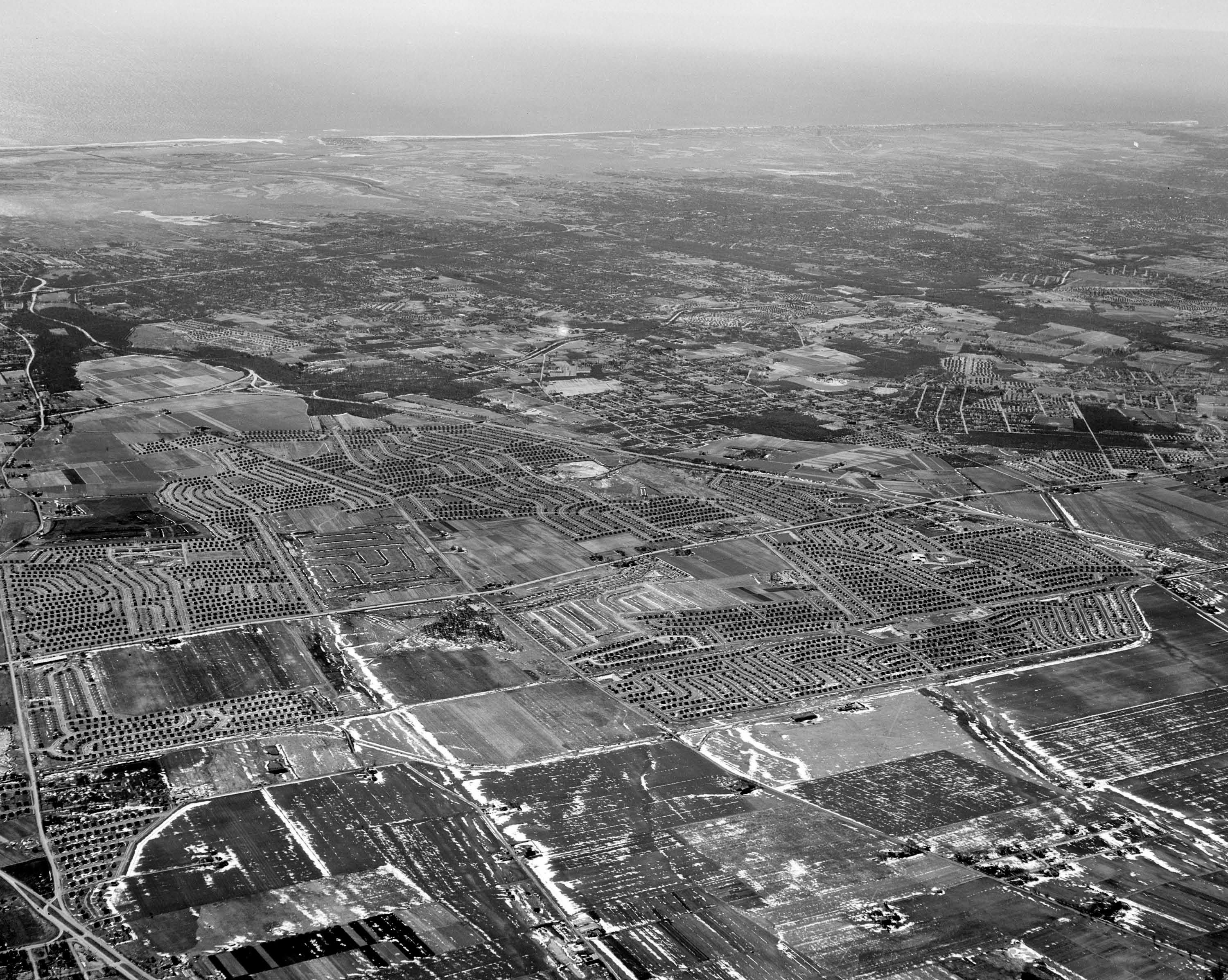
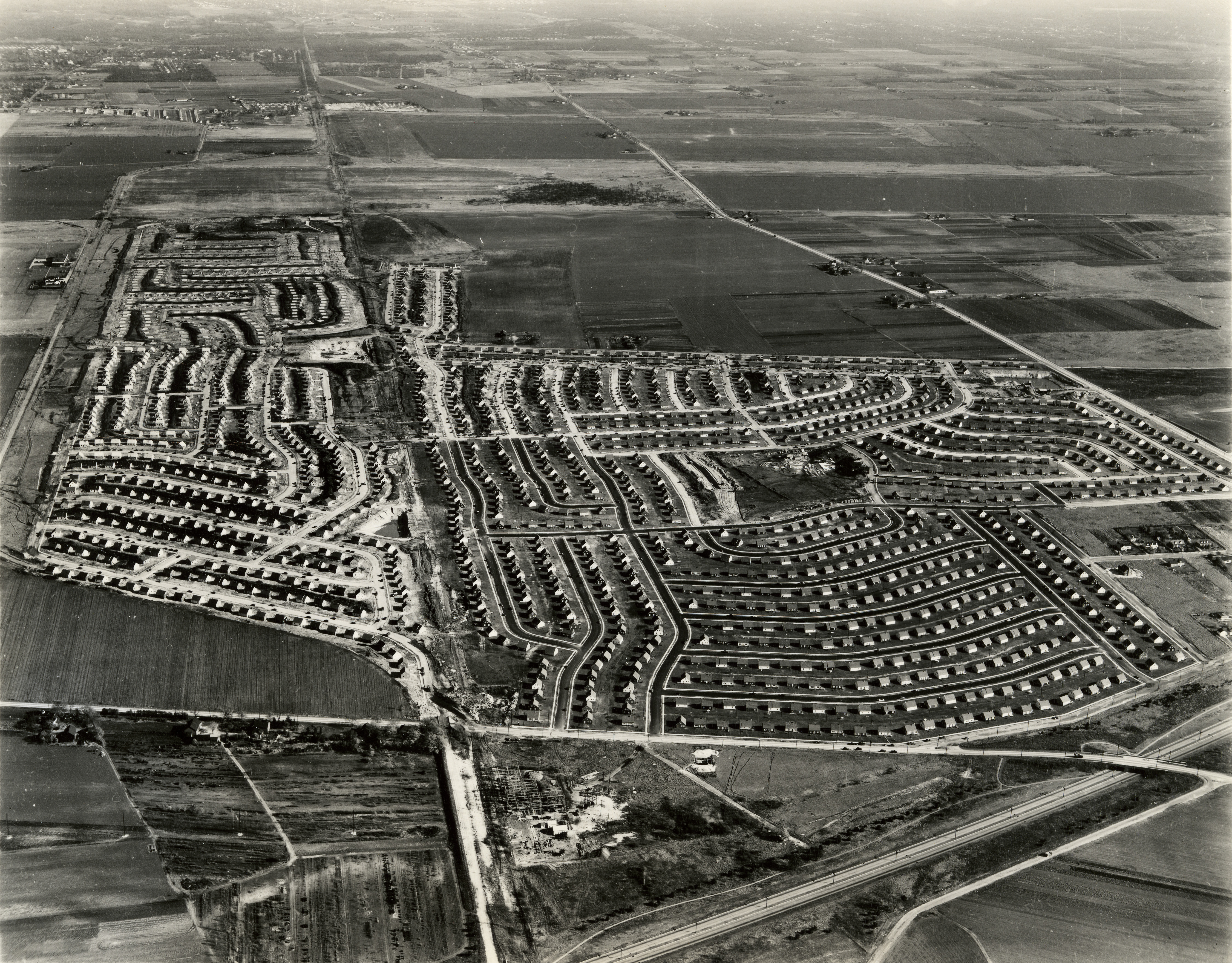

November 25, 1948
December 24, 1949
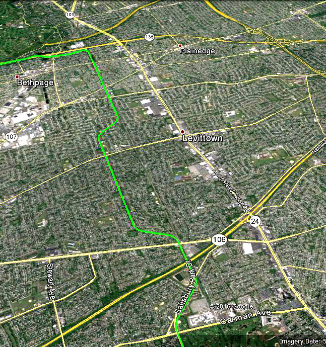
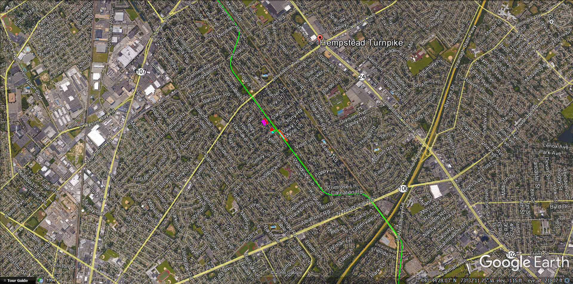
Current View


Comments
Levittown. Obviously after 1947.
Levittown looking east I would say 1965, as the homes are intact north and south of Hempstead Tpk. Bordered by the Wantagh Parkway at the western side (bottom of picture) to 107 and Wantagh Avenue….But toward the top of the Picture has got to be the Seaford Oyster Bay Expressway, which places my logic toward the mid 1960s. Clearly you can see the LIRR ROW and the Motor Parkway bridge over Newbridge Road leading into Carnation drive in the area of the Old Grandstand and Pressbox. But I can also follow Wantagh Avenue south to North Jerusalem Road to the Southern State Pkwy maybe even beyond to Jerusalem Ave where the farm was. Also Upper left is the Old Grumman Airfield where Wantagh Ave Meets 107 and I also can see middle right of the picture Center Lane going south to Chase lane which lets out on Loring Road. Waaaay too much more to mention, but I bet its definitely the mid 60s because of the SOB expressway. Great Stuff !!
The photo shows Levittown around 1947. The hanger and club house of the Long Island Aviation Club are in the pic. Of course the Motor parkway was used for the Vanderbilt Cup events.
Identify the aerial’s location and orientation: My current home town, Levittown, looking east. Wantagh Parkway is on the lower right running from the photo’s right edge to the bottom edge.
Identify the roads in the aerials that were used for four Vanderbilt Cup Races:
Hempstead/Bethpage Turnpike (1904), Motor Parkway (1908, 1909, 1910)
Identify the large buildings in the aerial: Not sure if these count as large buildings nowadays, but the hanger and clubhouse of the LI Aviation Club and various shopping/village centers and pools erected by Levitt.
What year was this aerial taken? Provide a rationale. 1947-1948
1) My house would be in the photo just east of Wantagh Parkway and west of Newbridge Road, but it wasn’t built until 1954/55 and not shown in the photo. FYI - although now in Levittown my development was not part of Levitt’s land purchases - supposedly the farmers who owned the property did not want to sell to Levitt - and when it was actually built (area called Westbrook Park) it was part of East Meadow.
2) Back to the rationale - houses in the development just south of me (still east of the Wantagh Parkway) were built in 1948 but also aren’t shown.
3) Levitt bought the property of the LI Aviation Club in 1948 and demolished it in 1949, but it is still showing in the photo.
4) Homes just south of the Aviation Club were built in 1947/1948 and are shown in the photo.
Levittown looking East Southeast. Hempstead Turnpike and remnants of the LIMP are seen slightly diagonal/vertical through the photo. Hempstead Turnpike used in the 1904 race and the LIMP in the 1908-1910 races. Buildings of note would be the Long Island Aviation Club still standing. Judging by lack of trees, I’d place the date around 1949.
I think the mystery photo shows Levittown, 90% completed, with the exception of the removal of the L.I. Country Club Airport’s clubhouse and double hangar, where the undeveloped backwards “L” can be seen. The Wantagh Parkway is running diagonally near trhe bottom right corner, and the traffic loops are for the entrance and exit of Hempstead Turnpike. I can’t pick out any large structures other than the hangar. If I’m correct, the wide thoroughfare at the bottom and to the right of the “L” would be Orchard Road, and the barely visible skinny white line to the left of it would be all that was left of the old Vanderbilt Raceway roadway (that had become the Motor Parkway). My guess is that the photo would was taken in 1950, looking east. (I humbly bow to anyone who says I’m all wet.) I always thought that after Mr. Levitt constructed the first portion of Levittown, he bought the airport property and immediately bulldozed the clubhouse and hangar before completing construction of the streets and houses on its site, as well as developing the area to its east (top) north (left) and west (bottom). If my photo identification is correct, he left the airport structures standing until the very end of the process. A great photo! Where was it found?
Aerial of Levittown looking southeast about 1948.
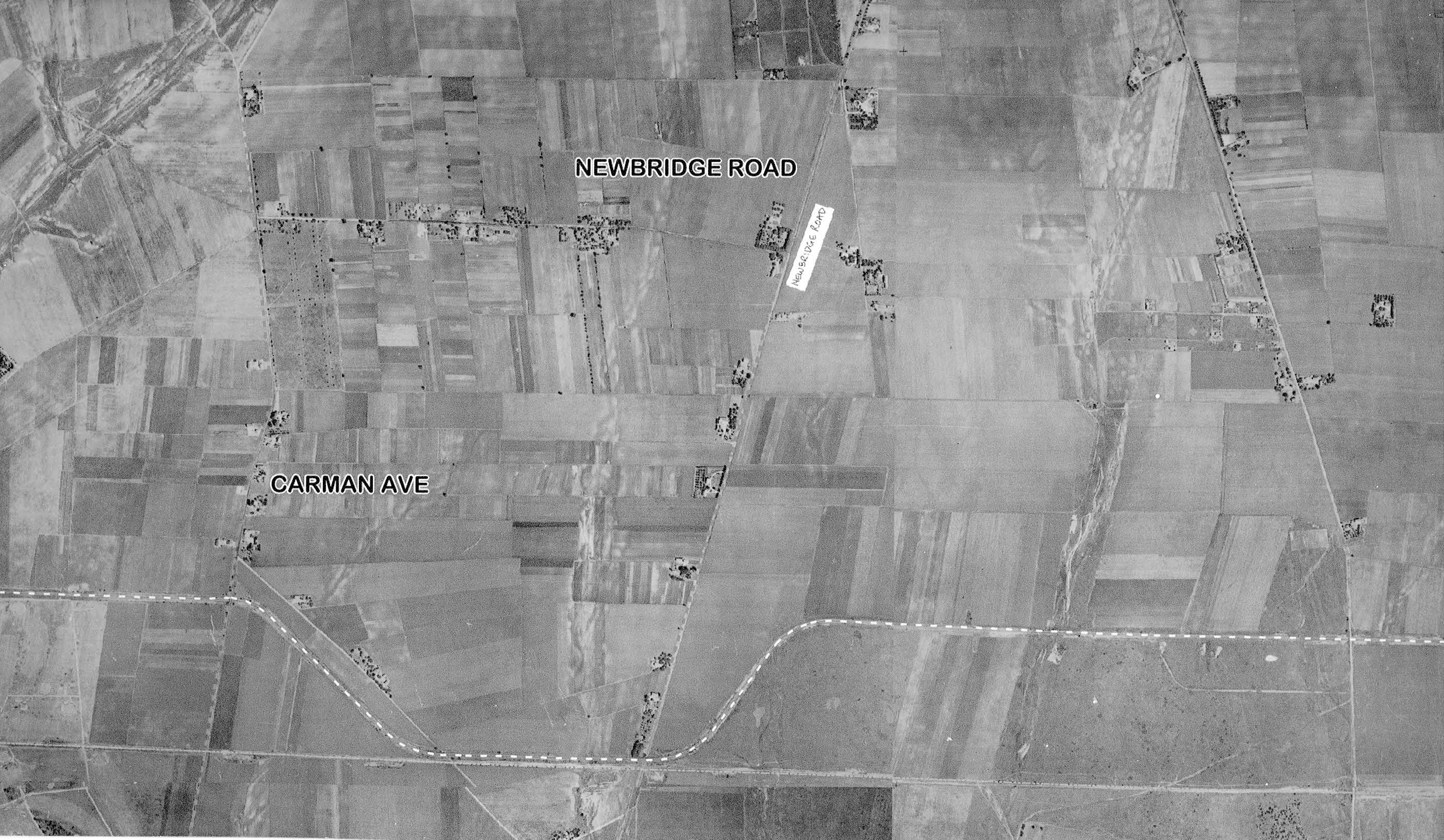
The North Wantagh section and the “G” section off Newbridge Rd. not yet built.
LIMP visible at lower right crossing the Wantagh Pkwy. and Rte. 106 (Newbridge)
curving left then east along Orchid Road and continuing through Bethpage.
Visible at upper left is Grumman Plant 2 and the Grumman runways.
The photographer was over East Meadow looking east showing Levittown. The roads that were used for the Vanderbilt Cup races are: Hempstead Turnpike (1904), and some remnants of the LIMP (1908, 1909, & 1910). Since the building of the homes for Levittown has progressed significantly, and I think I can see the structures at Aviation Country Club are still intact (portions of which were moved in 1950), I’m going to guess 1950 as the year of the photo. As to other large buildings, not too sure, but I believe that’s Bethpage Park & golf course in the upper left corner.
Whoo, these new aerial pix are hard to follow foe us non-L’townwers! Hurrah for the LIACC! Interesting conjunction - snooty LIACC and viciously-prejudiced Levitt. Richard, the hangar was NOT bulldozed; one segment was dismantled (as Steve notes) and re-erected south of the intersection of Schneider Lane and Revere and Lexington Avenues, backing on the LIRR’s Central Branch, in downtown Bethpage. It still stands and is currently marked “Best Market HQ” on Google Maps. It’s fully documented on my site but I’ll be hang(ar)ed if I can find where! Sam, III
Hi Frank. Thought I’d mention the older aerial with the LIMP? looks to be about where the Bloomingdale Rd bridge was. They must of demolished that bridge promptly at that time.
Needless to mention everyone, but I can’t help but say the Westbury Ave bridge is seen as well. Unless you really want to, Frank; don’t feel the need to revise your findings just because of the bridges I mentioned.