Long Island Motor Parkway Bridge Series:#17 Old Courthouse Road Bridge- Manhasset Hills/North Hills
With one-quarter of the Long Island Motor Parkway bridges documented on VanderbiltCupRaces.com, the next bridge to be examined is the Old Courthouse Road Bridge bordering on Manhasset Hills and North Hills.
This bridge was a "highway bridge" since Motor Parkway parkway went under the bridge. It is one of only two Motor Parkway bridges still standing of the 39 bridges built in Nassau County.
Enjoy,
Howard Kroplick
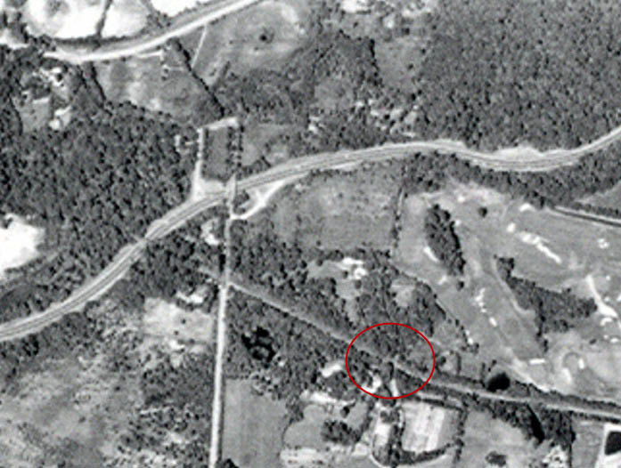
1924 Aerial
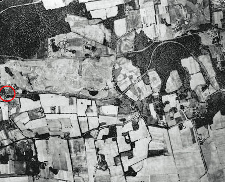
The bridge can be seen in this early aerial. I.U. Willets Road can be seen north of the Motor Parkway.
Old Courthouse Road connected I.U. Willets Road and Shelter Rock Road (Highway to Mineola).
1920s Photo
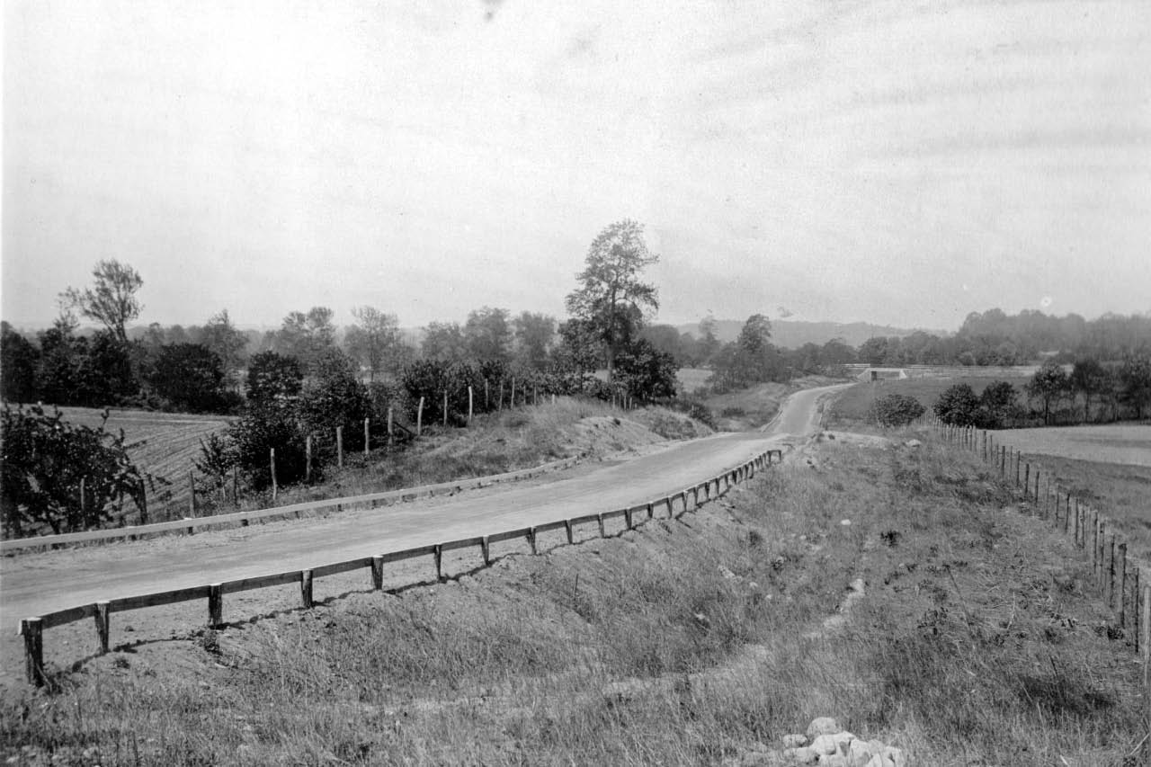
The Old Courthouse Road Bridge can be seen in the background "looking west to Great Neck".
1928 Motor Parkway Atlas
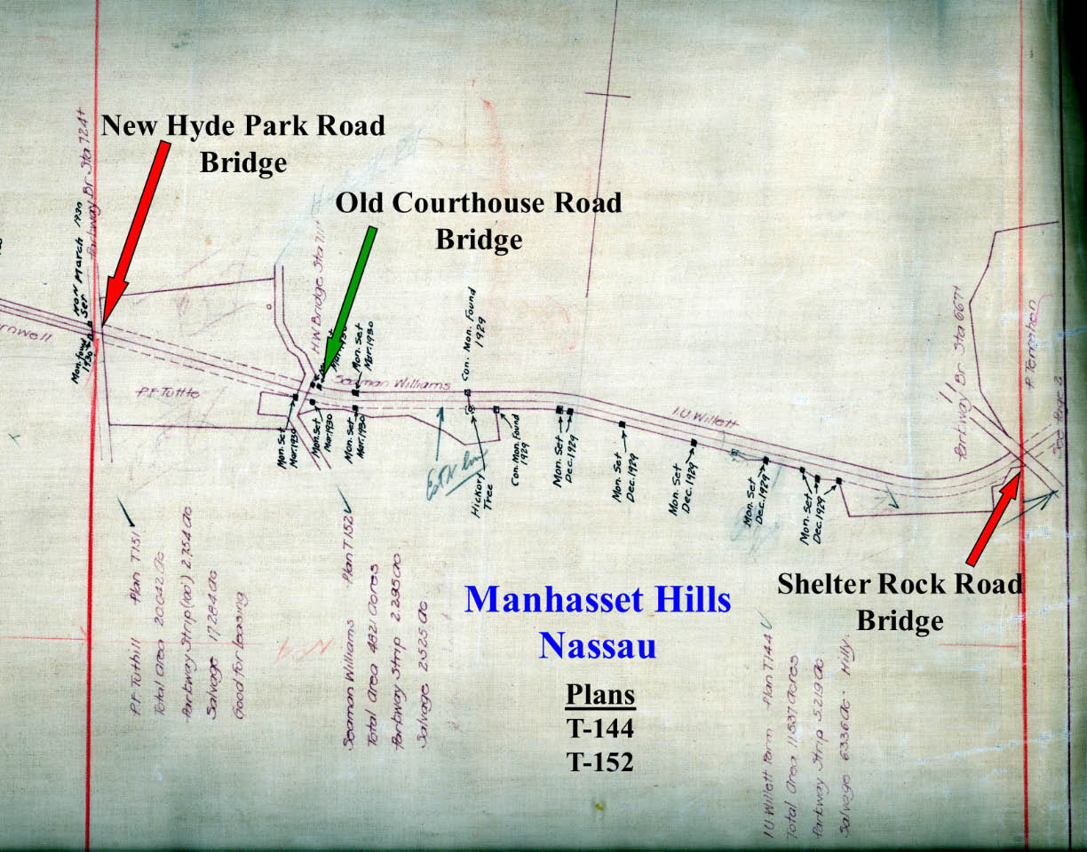
The bridge was designated Station #711. Note the bridge was marked as a "H.W. Bridge" (Highway Bridge).
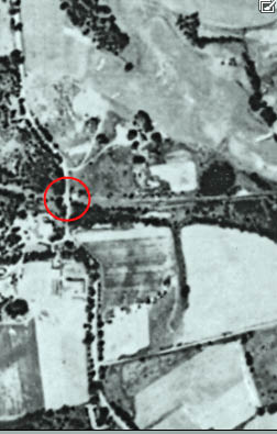
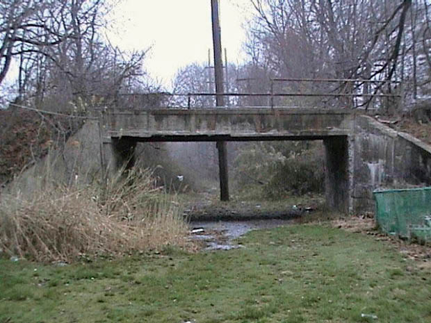
1950 Aerial
The Northern State Parkway can be seen north of the Old Courthouse Bridge.
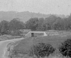
1972 Photo
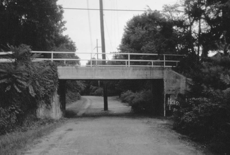
Courtesy of Marget and George Vitale from slides by Lester Cutting.
2003 Photo
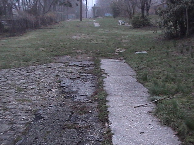
Sections of the Motor Parkway pavement and the 3-foot concrete extension can be seen near the bridge.
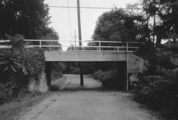
2008 Photos
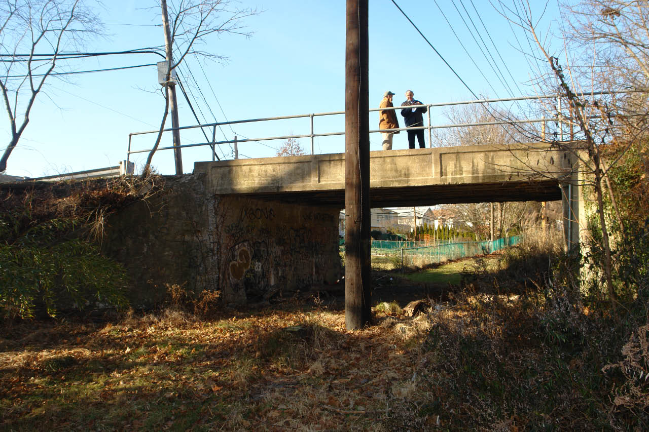
The Old Courthouse Road Bridge is one of only Nassau County Motor Parkway bridges still standing. John Cuocco and my favorite co-author Al Velocci were standing on the bridge looking west.
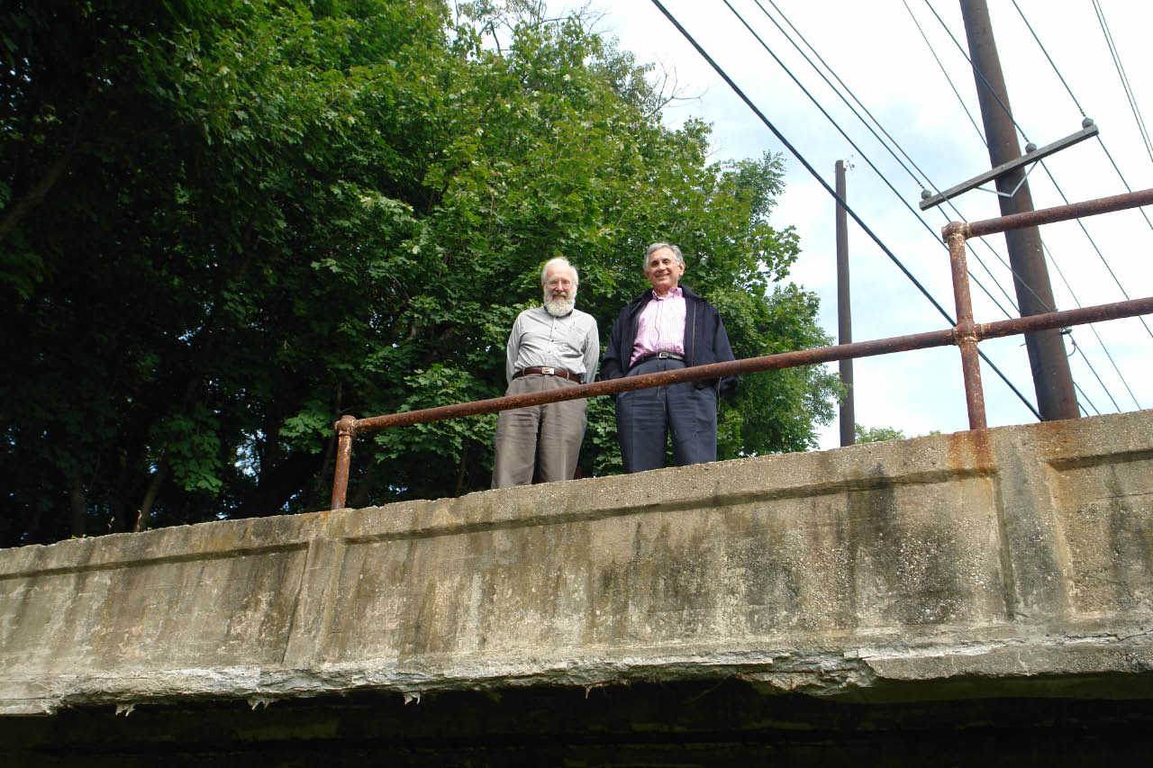
Motor Parkway pioneers Sam Berliner III and Al Velocci.
The bridge is now 103 years old.
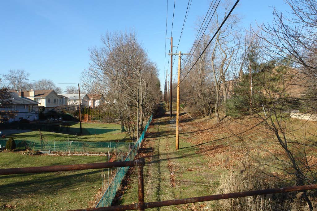
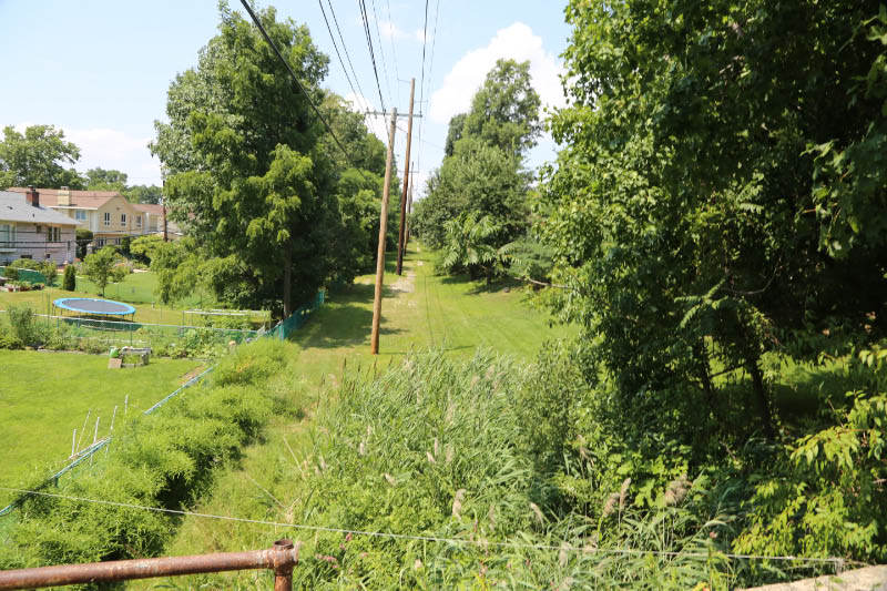
The view from the bridge looking west towards New Hyde Park Row. The LIPA utility poles are directly in the middle of the Motor Parkway right-of-way.
2014 Photos
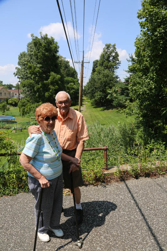
Hazel and Sheldon of New Hyde Park on top of the bridge.
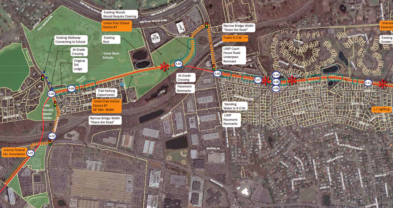
Check out Wayne Consolla's Motor Parkway map to find the location of the Old Courthouse Road Bridge.


Comments
I love the utility pole placement. Sure, I know the road’s not really there anymore, but I’m not sure whoever put it there would have cared!
Fascinating! I grew up near here. Thanks for the great work!
Who owns the bridge today? Is it in safe hands?
This bridge was the first image I saw of the LIMP, when I Googled, America’s earliest parkways/freeways. It invoked a sense of some, almost remote time in history. It also looked like the old bridges designed by the New Haven Electric Trolley lines, early suburban public transport, New Haven to Guilford, Ct. crossing my street in North Branford. One particular bridge, crossing the Farm River, still stands, and is around eighty feet(?) long.
There are still some very clear scapes of roadway just to the left of those poles and you can clearly see both ashphalt and cement in spots. I wonder if drainage was always a problem in this particular stretch.
Hi James:
I added a 2003 photo showing the pavement and concrete extension near the bridge.
CREAT PICTURES. THANKS HOWARD
I live around the block from this bridge. Always went down there when we were younger and would ride our bikes along to Shelter Rock Road. It is very overgrown today, but still standing! Amazing to see pictures from the 1920s, thank yoU!!
Year of the “1924 aerial” above is wrong (NSP didn’t exist in 1924).
Hi Mitch:
Great catch! I have added the 1924 aerial and moved the “Northern State Parkway” aerial to its correct 1950 date. Thanks!