Update: The Spring Meeting of the Long Island Motor Parkway Preservation Society
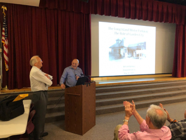
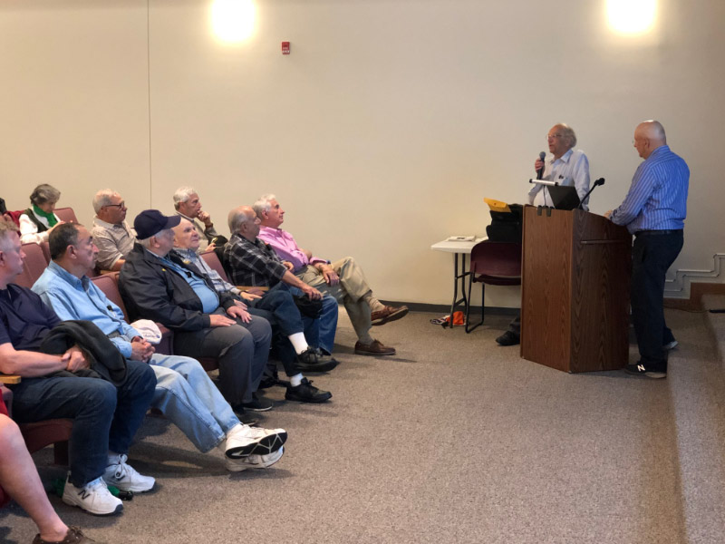
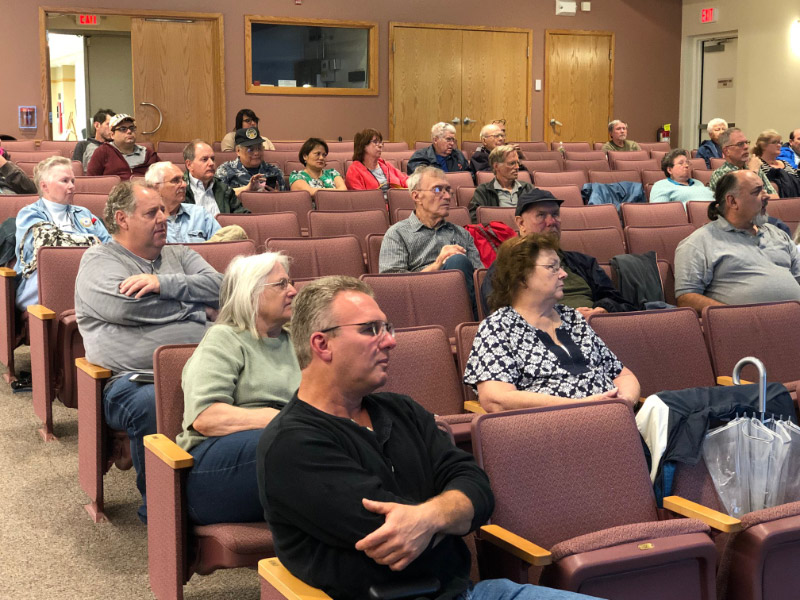
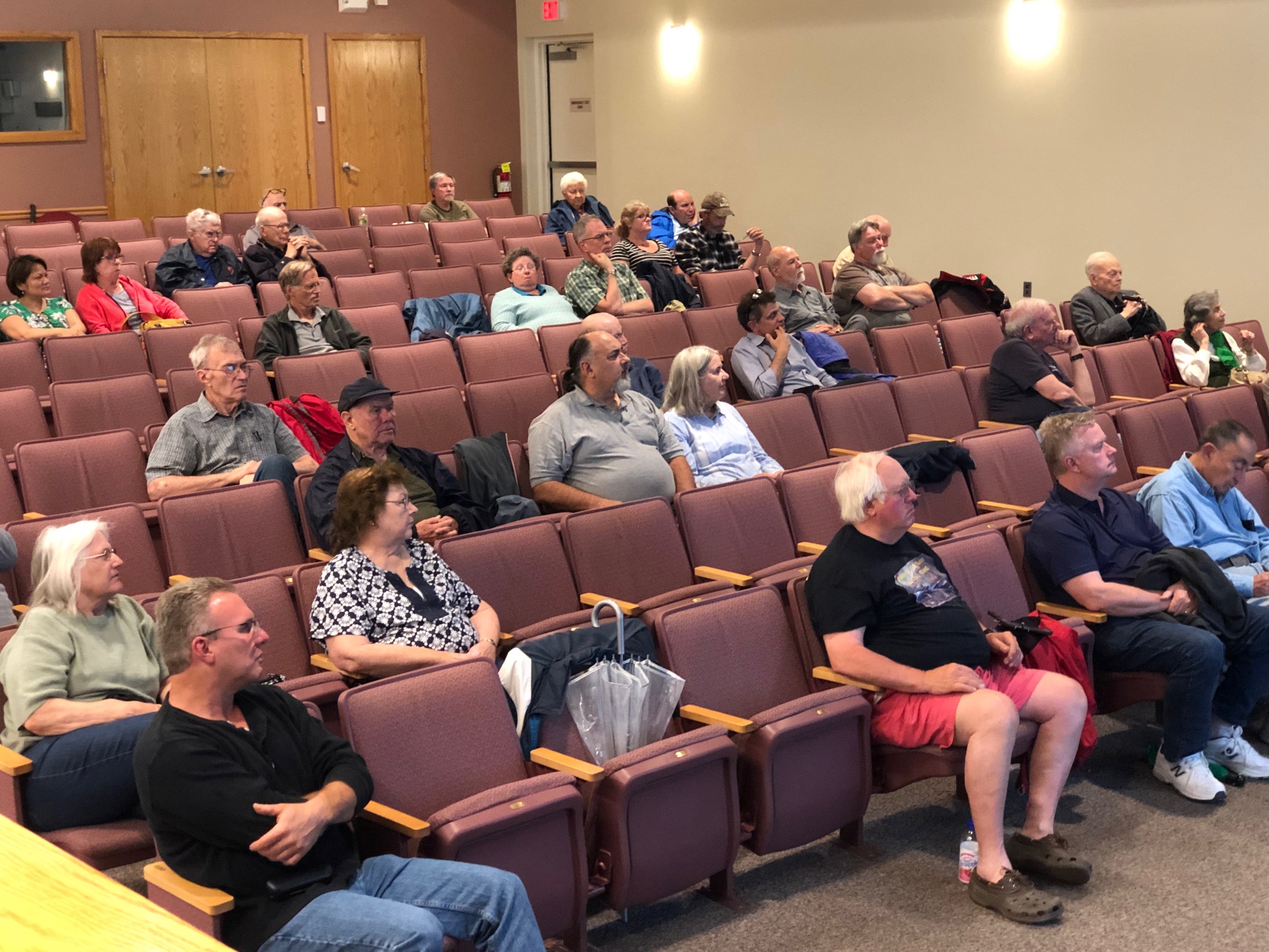
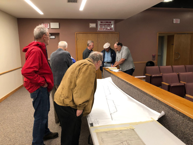
Over 55 people attended Thursday's presentation on a rainy evening. Great discussions on the Motor Parkway and Garden City!
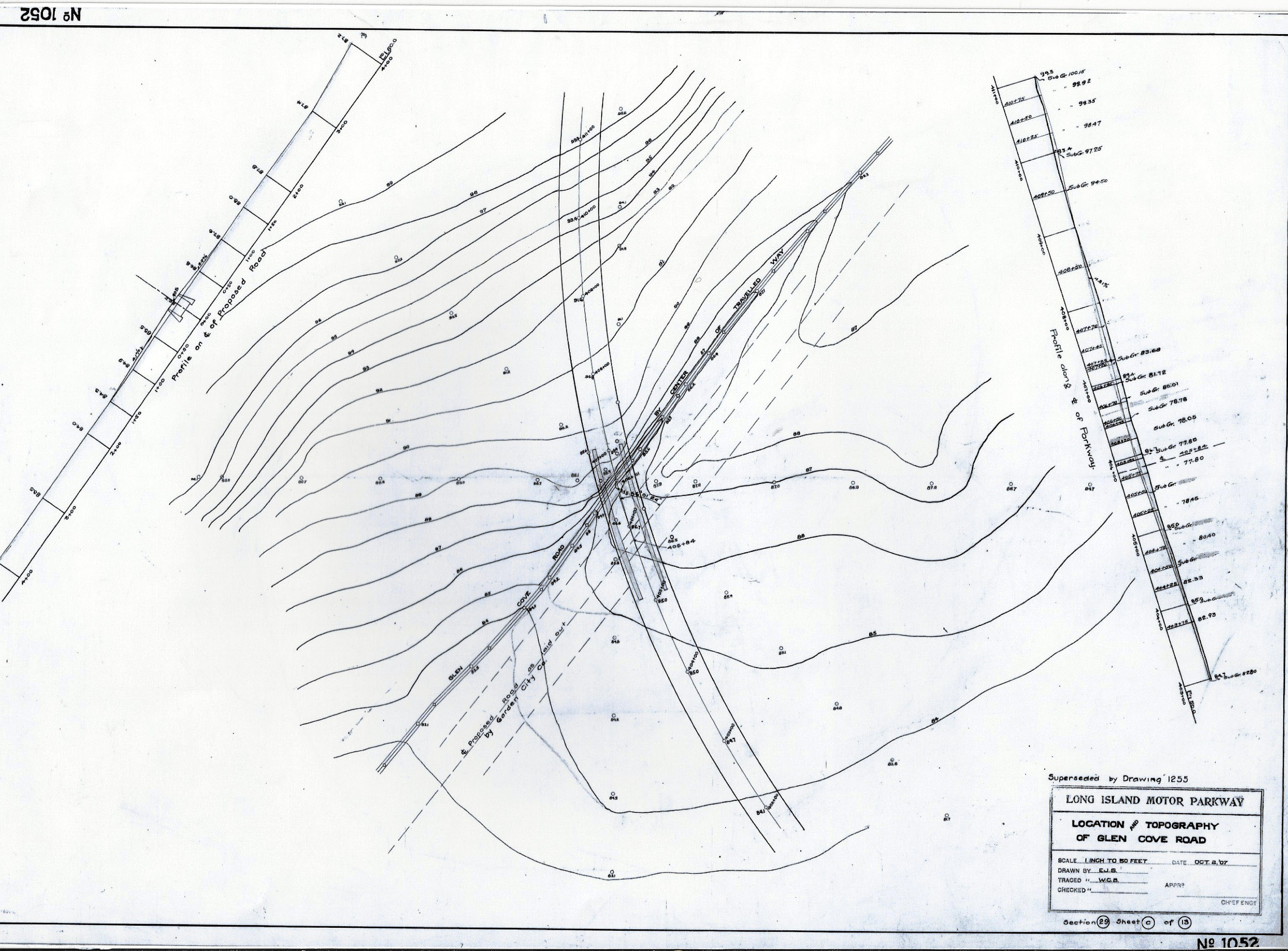
Please join us for another special evening providing an update on Motor Parkway projects and a presentation on "The Long Island Motor Parkway in Garden City" by Village Historian William Bellmer and Town Historian Howard Kroplick. The presentation will feature rare photos of the construction of the Motor Parkway from the Garden City Archives and 1907 Motor Parkway surveys of the Village.
The program will be held at the Bethpage Public Library beginning at 7:00 pm on Thursday, May 30, 2019. Please bring your family and friends.
Enjoy,
Howard Kroplick
Photos by Steve Lucas

Questions Answered
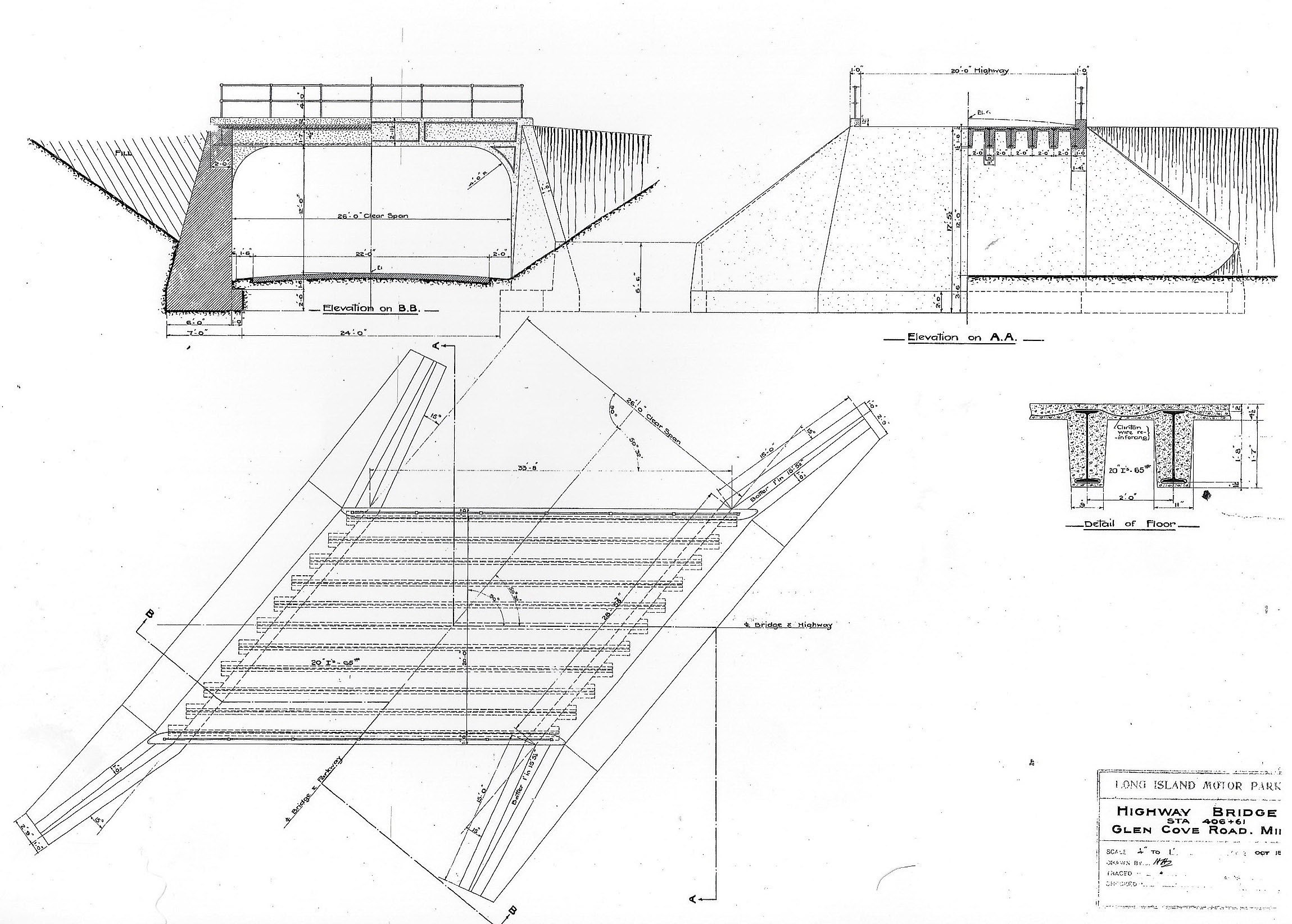
Why did the design of the Clinton Road Motor Parkway Bridge change?
Answer: Clinton Road was significantly widened during the planning for the bridge.
Why is this Garden City Bridge called the Mayan Ruins?
Answers: For many years, it was not known that the old structures were bridge abutments.
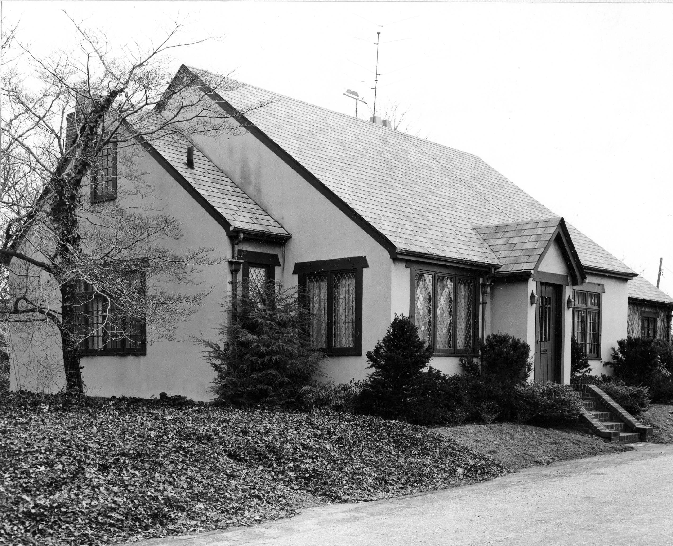
What is the link between the Garden City Lodge and the Jefferson Memorial?
Answer: Both designed by John Russell Pope.
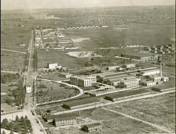
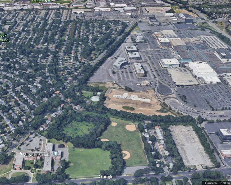
Where are the two wings of the Salvation Army Hotel seen in this aerial located today?
Answer: Hempstead
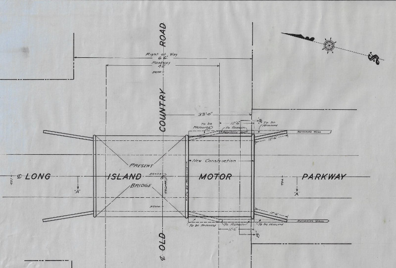
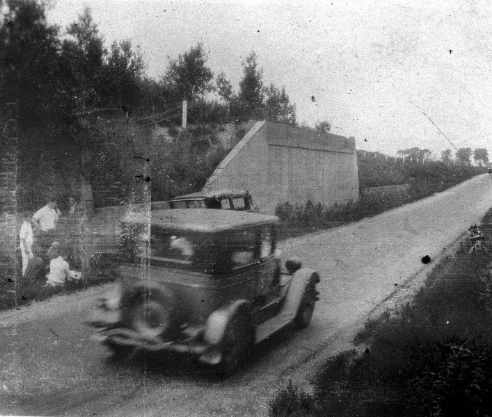
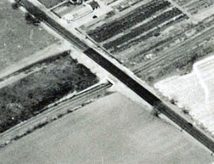
What year did they widen the Old Country Road Motor Parkway Bridge?
Answer: 1929
Who currently owns the weather vane that was atop the General Manager's Office?
Answer: Joe DeBono
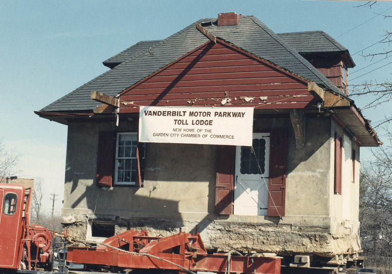
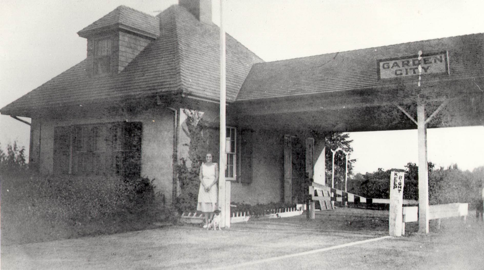
On what date did they move the Garden City Lodge?
Answer: 1989
What are the current plans for this section of the Motor Parkway?
Answer: Planning to restore this section as a walking path.


Comments
Old Country Rd became as wide as the LIMP by 1930. Section of LIMP between Clinton Rd & the mall will make a nice shortcut for local residents.
Great hidden info on the GC bridges. I always wondered about expansion over time especially these main thoroughfares. With OCR’s widening to 42’ in 1929 I wonder when it was widened again to 60’? And the 1907 topo drawn to scale reveals Clinton Rd to receive a huge widening to almost 10x its original size! At 40’ today it must’ve been a mere ~5’ dirt road. Great news the old roadway will be preserved for future generations to enjoy. All fantastic news!
I was going to ask that you remind me about (or refer me to) the move of the two sections of the Salvation Army Hotel. It seemed vaguely familiar - aha, for those who might also not recall, it was covered in detail in the 11 Dec 2018 blog, including the current location. It would appear from today’s satellite view, attached, that the right angle section, nearest us in the 1928 aerial view, was cut off at some point in or after the move. Sam, III