Surveyor Clinton Robertson Photo Album: The Construction of the Jerusalem Road Motor Parkway Bridge
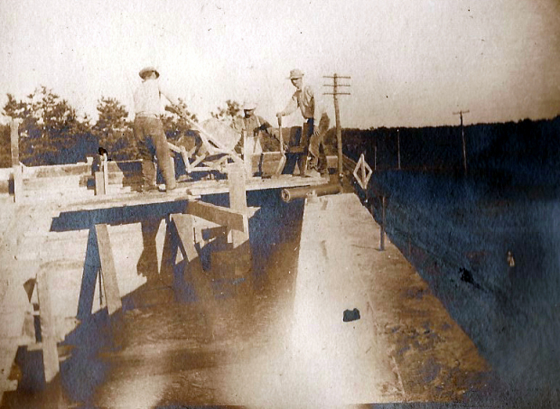
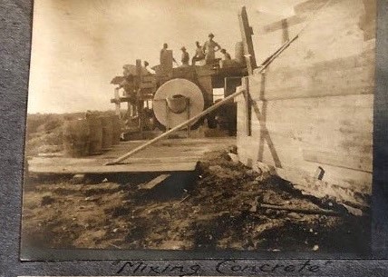
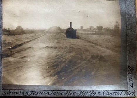
In the eighth of the photo series from surveyor Clinton A. Robertson's recently discovered Motor Parkway construction album, the 1908 construction of the Jerusalem Road Bridge in Central Park (now Stewart Avenue in Bethpage) is featured.
Clinton A. Robertson's Long Island Motor Parkway Construction Photo Album
While working as a surveyor on the Long Island Motor Parkway in 1908 and 1909, Clinton A. Robertson (above) documented the Motor Parkway construction and his fellow workers with his trusty camera. Lost for 109 years, Robertson's photo scrapbook with 84 amazing images of the Motor Parkway was recently purchased for $20 in a New Jersey flea market and resold on Ebay for over $3,000.
Enjoy,
Howard Kroplick
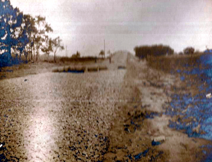
Looking south. Note the horses on the embankments and the LIRR crossing sign.
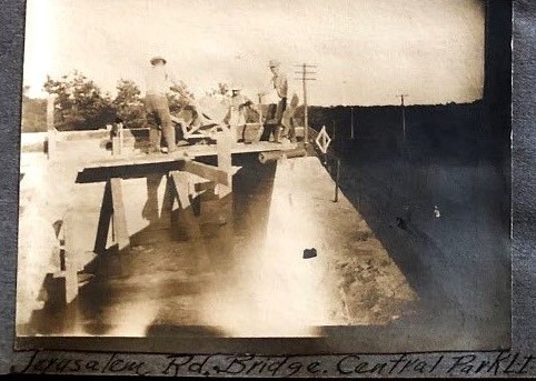
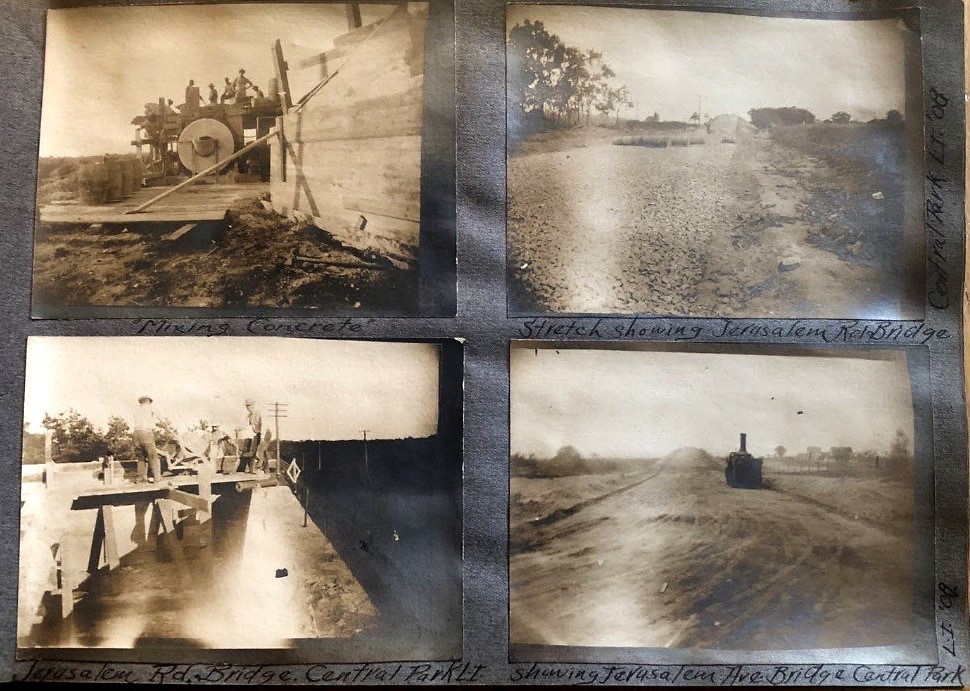
Another Image of the Bridge Closer to Completion
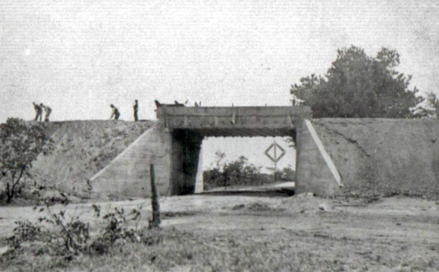
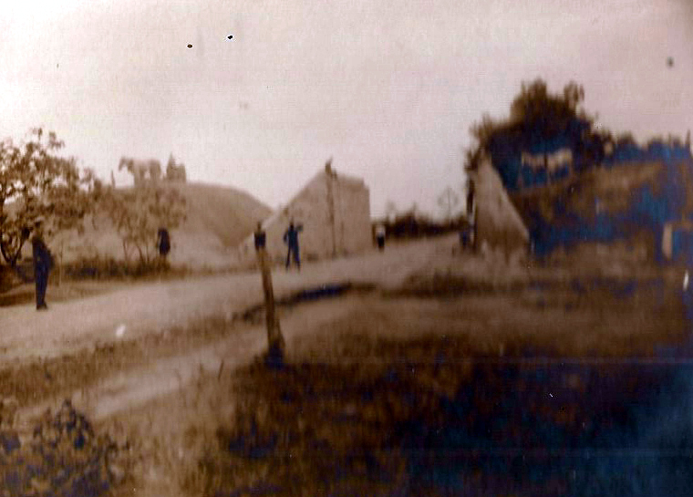
The Bridge Today
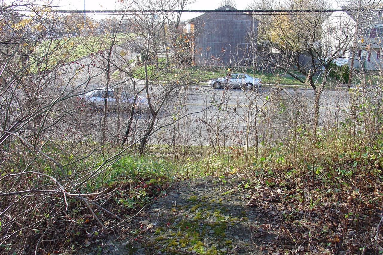
Pavement still exists on top of the east embankment. The house across Stewart Avenue was the location of the west embankment. On June 6, 1908, this site was the gathering point for the ground-breaking ceremony for the Motor Parkway.


Comments
Great to view these super rare images by Robertson while surveying the Motor Parkway in 1908 during construction, and very grateful they were saved and not mistakenly discarded. Thanks Howard for keeping this important part of automotive history alive for all to see today and for future generations. Five stars *****
I agree with Frank. I’m happy you now have these historical photos Howard so you can share them with us. They are safe from being lost forever.
Thank you. Awesome pics. It is in Bethpage, not Levittown. Also, I believe that the railroad crossing is the Central Railroad, not the LIRR but I’m not 100%.
——————————
Howard Kroplick
John, good catch. You are 100% correct.
I found the spot on Google Maps. There is a NYS historic marker on Stewart Avenue at the site of the east embankment. The Central Railroad would have been just to the south, and Dead Man’s Curve just to the east.